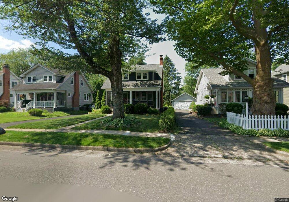
24 Mercer Ave Doylestown, PA 18901
Estimated Value: $492,259 - $615,000
--
Bed
2
Baths
1,480
Sq Ft
$381/Sq Ft
Est. Value
About This Home
This home is located at 24 Mercer Ave, Doylestown, PA 18901 and is currently estimated at $563,815, approximately $380 per square foot. 24 Mercer Ave is a home located in Bucks County with nearby schools including Linden El School, Lenape Middle School, and Central Bucks High School-West.
Ownership History
Date
Name
Owned For
Owner Type
Purchase Details
Closed on
May 30, 2008
Sold by
Rock Steven
Bought by
Krouse Douglas M and Adams Krouse Meredith
Current Estimated Value
Home Financials for this Owner
Home Financials are based on the most recent Mortgage that was taken out on this home.
Original Mortgage
$62,900
Outstanding Balance
$40,486
Interest Rate
6.11%
Mortgage Type
Purchase Money Mortgage
Estimated Equity
$523,329
Purchase Details
Closed on
Aug 22, 1997
Sold by
Hatfield Nancy E and Mchugh Kathryn M
Bought by
Rock Steven
Home Financials for this Owner
Home Financials are based on the most recent Mortgage that was taken out on this home.
Original Mortgage
$137,600
Interest Rate
7.42%
Mortgage Type
Balloon
Create a Home Valuation Report for This Property
The Home Valuation Report is an in-depth analysis detailing your home's value as well as a comparison with similar homes in the area
Home Values in the Area
Average Home Value in this Area
Purchase History
| Date | Buyer | Sale Price | Title Company |
|---|---|---|---|
| Krouse Douglas M | $370,000 | None Available | |
| Rock Steven | $172,000 | -- |
Source: Public Records
Mortgage History
| Date | Status | Borrower | Loan Amount |
|---|---|---|---|
| Open | Krouse Douglas M | $62,900 | |
| Open | Krouse Douglas M | $296,000 | |
| Previous Owner | Rock Steven | $137,600 |
Source: Public Records
Tax History Compared to Growth
Tax History
| Year | Tax Paid | Tax Assessment Tax Assessment Total Assessment is a certain percentage of the fair market value that is determined by local assessors to be the total taxable value of land and additions on the property. | Land | Improvement |
|---|---|---|---|---|
| 2025 | $3,027 | $16,800 | $4,760 | $12,040 |
| 2024 | $3,027 | $16,800 | $4,760 | $12,040 |
| 2023 | $2,883 | $16,800 | $4,760 | $12,040 |
| 2022 | $2,843 | $16,800 | $4,760 | $12,040 |
| 2021 | $2,812 | $16,800 | $4,760 | $12,040 |
| 2020 | $2,781 | $16,800 | $4,760 | $12,040 |
| 2019 | $2,751 | $16,800 | $4,760 | $12,040 |
| 2018 | $2,717 | $16,800 | $4,760 | $12,040 |
| 2017 | $2,688 | $16,800 | $4,760 | $12,040 |
| 2016 | $2,688 | $16,800 | $4,760 | $12,040 |
| 2015 | -- | $16,800 | $4,760 | $12,040 |
| 2014 | -- | $16,800 | $4,760 | $12,040 |
Source: Public Records
Map
Nearby Homes
- 90 Chapman Ave
- 418 North St
- 114 Blackfriars Cir
- 194 Victoria Ct Unit 143
- 5 Belmont Square
- 3867 Charter Club Dr
- 121 Cottage St
- 104 Kreutz Ave
- 143 Myers Dr
- 100 Bishops Gate Ln Unit 67
- 0 Myers Dr
- 146 N Church St
- 169 N Main St
- 146 E Court St
- 4 Barnes Ct
- 155 E Oakland Ave
- 20 E Court St
- 5437 Rinker Cir Unit 283
- 339 E Ashland St
- 333 Dorset Ct Unit 333