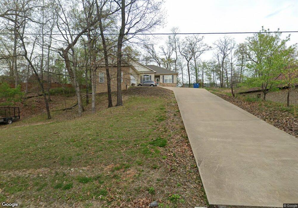
24 Merritt Cir Bella Vista, AR 72714
Estimated Value: $397,123 - $499,000
--
Bed
2
Baths
2,164
Sq Ft
$201/Sq Ft
Est. Value
About This Home
This home is located at 24 Merritt Cir, Bella Vista, AR 72714 and is currently estimated at $435,781, approximately $201 per square foot. 24 Merritt Cir is a home located in Benton County with nearby schools including Cooper Elementary School, Ruth Barker Middle School, and Washington Junior High School.
Ownership History
Date
Name
Owned For
Owner Type
Purchase Details
Closed on
Sep 9, 2025
Sold by
Southparr Trust and Bell Douglas
Bought by
Angus W Mcleod Family Trust and Snow
Current Estimated Value
Purchase Details
Closed on
Sep 5, 2025
Sold by
Snow Patricia J and Angus W Mcleod Family Trust
Bought by
Evan Douglas Mcleod Trust and Snow
Purchase Details
Closed on
Sep 26, 2005
Sold by
Bettys Homes Inc
Bought by
Prevost Dale and South Parr Trust
Purchase Details
Closed on
Dec 31, 2003
Bought by
Bettys Hms
Purchase Details
Closed on
May 23, 1989
Bought by
Wilkinson
Purchase Details
Closed on
Jan 10, 1984
Bought by
Weimer
Create a Home Valuation Report for This Property
The Home Valuation Report is an in-depth analysis detailing your home's value as well as a comparison with similar homes in the area
Home Values in the Area
Average Home Value in this Area
Purchase History
| Date | Buyer | Sale Price | Title Company |
|---|---|---|---|
| Angus W Mcleod Family Trust | -- | Waco Title | |
| Evan Douglas Mcleod Trust | -- | Waco Title | |
| Prevost Dale | $210,000 | None Available | |
| Bettys Hms | $3,000 | -- | |
| Wilkinson | $2,000 | -- | |
| Weimer | -- | -- |
Source: Public Records
Tax History Compared to Growth
Tax History
| Year | Tax Paid | Tax Assessment Tax Assessment Total Assessment is a certain percentage of the fair market value that is determined by local assessors to be the total taxable value of land and additions on the property. | Land | Improvement |
|---|---|---|---|---|
| 2025 | $3,798 | $76,584 | $1,600 | $74,984 |
| 2024 | $3,446 | $76,584 | $1,600 | $74,984 |
| 2023 | $3,133 | $51,110 | $800 | $50,310 |
| 2022 | $3,110 | $51,110 | $800 | $50,310 |
| 2021 | $2,845 | $51,110 | $800 | $50,310 |
| 2020 | $2,609 | $40,960 | $600 | $40,360 |
| 2019 | $2,609 | $40,960 | $600 | $40,360 |
| 2018 | $2,609 | $40,960 | $600 | $40,360 |
| 2017 | $2,511 | $40,960 | $600 | $40,360 |
| 2016 | $2,511 | $40,960 | $600 | $40,360 |
| 2015 | $2,311 | $38,330 | $1,000 | $37,330 |
| 2014 | $2,311 | $38,330 | $1,000 | $37,330 |
Source: Public Records
Map
Nearby Homes
- 40 Merritt Dr
- 75 Melanie Dr
- 63 Merritt Dr
- 41 Melanie Dr
- 20 Melanie Cir
- 0 Rettendon Ln
- 127 Rillington Dr
- Lot 10 of Block 6 Rillington Dr
- 0 Rillington Dr Unit 1316259
- 10 Dillow Ln
- 14 Constance Cir
- 3 Brougham Ln
- 5 Ettington Ln
- 29 Lunsford Ln
- 0 Allendale Dr
- 9 Lunsford Ln
- 0 Nettle Ln
- 44 Cresswell Dr
- 16 Witherby Dr
- 37 & 39 Allendale Dr