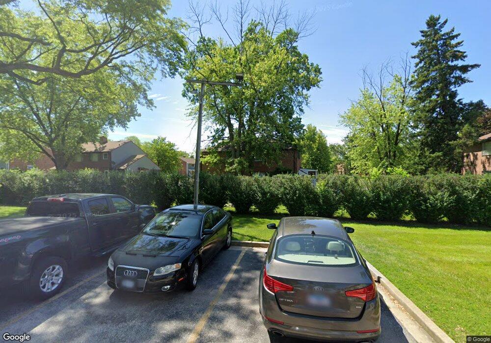
24 Michael Rd Unit 781 Park Forest, IL 60466
Estimated Value: $60,191 - $123,000
2
Beds
1
Bath
1,380
Sq Ft
$58/Sq Ft
Est. Value
About This Home
This home is located at 24 Michael Rd Unit 781, Park Forest, IL 60466 and is currently estimated at $79,798, approximately $57 per square foot. 24 Michael Rd Unit 781 is a home located in Cook County with nearby schools including 21st Century Primary Center, Blackhawk Intermediate Center, and Michelle Obama School of Technology.
Ownership History
Date
Name
Owned For
Owner Type
Purchase Details
Closed on
Jun 5, 2020
Sold by
Harvey Aaqila
Bought by
Matthews Bryson
Current Estimated Value
Purchase Details
Closed on
Aug 18, 2015
Sold by
Pierce Andretta K
Bought by
Pierce Andretta K and Harvey Aaqila
Purchase Details
Closed on
Oct 6, 2011
Sold by
Taylor Joshua J and Aronowitz Candace
Bought by
Pierce Andretta K
Purchase Details
Closed on
Aug 6, 2007
Sold by
Taylor Joshua J
Bought by
Taylor Joshua J and Aronowitz Candace
Home Financials for this Owner
Home Financials are based on the most recent Mortgage that was taken out on this home.
Original Mortgage
$73,950
Interest Rate
9.99%
Mortgage Type
New Conventional
Purchase Details
Closed on
May 31, 2000
Sold by
Scholl Joan R
Bought by
Taylor Joshua J
Home Financials for this Owner
Home Financials are based on the most recent Mortgage that was taken out on this home.
Original Mortgage
$60,000
Interest Rate
8.14%
Mortgage Type
FHA
Create a Home Valuation Report for This Property
The Home Valuation Report is an in-depth analysis detailing your home's value as well as a comparison with similar homes in the area
Home Values in the Area
Average Home Value in this Area
Purchase History
| Date | Buyer | Sale Price | Title Company |
|---|---|---|---|
| Matthews Bryson | -- | None Available | |
| Pierce Andretta K | -- | Attorney | |
| Pierce Andretta K | $20,000 | Millennium Title Group Ltd | |
| Taylor Joshua J | -- | Freedom Title | |
| Taylor Joshua J | $61,500 | Lawyers Title Insurance Corp |
Source: Public Records
Mortgage History
| Date | Status | Borrower | Loan Amount |
|---|---|---|---|
| Previous Owner | Taylor Joshua J | $73,950 | |
| Previous Owner | Taylor Joshua J | $60,000 |
Source: Public Records
Tax History
| Year | Tax Paid | Tax Assessment Tax Assessment Total Assessment is a certain percentage of the fair market value that is determined by local assessors to be the total taxable value of land and additions on the property. | Land | Improvement |
|---|---|---|---|---|
| 2025 | $4,059 | $6,189 | $1,811 | $4,378 |
| 2024 | $4,059 | $6,189 | $1,811 | $4,378 |
| 2023 | $2,421 | $6,491 | $1,811 | $4,680 |
| 2022 | $2,421 | $2,399 | $1,358 | $1,041 |
| 2021 | $2,372 | $2,399 | $1,358 | $1,041 |
| 2020 | $2,178 | $2,399 | $1,358 | $1,041 |
| 2019 | $2,510 | $2,965 | $1,244 | $1,721 |
| 2018 | $3,009 | $3,707 | $1,244 | $2,463 |
| 2017 | $2,959 | $3,707 | $1,244 | $2,463 |
| 2016 | $1,786 | $2,324 | $1,131 | $1,193 |
| 2015 | $1,099 | $4,097 | $1,131 | $2,966 |
| 2014 | $1,771 | $2,446 | $1,131 | $1,315 |
| 2013 | $880 | $3,983 | $1,131 | $2,852 |
Source: Public Records
Map
Nearby Homes
- 32 Dunlap Rd Unit 261
- 141 Hemlock St Unit 253
- 154 Hemlock St Unit 912
- 22 Apple Ln
- 5 Oak Ln
- 17 Oak Ln
- 223 S Orchard Dr
- 307 Osage St
- 226 S Orchard Dr
- 55 Apple Ln
- 55 Marquette St
- 74 Marquette St
- 36 Monee Rd
- 343 Osage St
- 335 Oakwood St
- 336 Oakwood St
- 136 Peach St
- 131 Sauk Trail
- 332 Oswego St
- 239 Indianwood Blvd
- 26 Michael Rd Unit 782
- 22 Michael Rd Unit 774
- 20 Michael Rd Unit 773
- 18 Michael Rd Unit 772
- 25 Michael Rd Unit 821
- 27 Michael Rd Unit 822
- 23 Michael Rd Unit 834
- 30 Michael Rd Unit 792
- 28 Michael Rd Unit 791
- 16 Michael Rd Unit 771
- 21 Michael Rd Unit 833
- 32 Michael Rd Unit 801
- 33 Michael Rd Unit 802
- 33 Michael Rd
- 19 Michael Rd Unit 832
- 31 Michael Rd Unit 812
- 1 Dunlap Rd Unit 761
- 29 Michael Rd Unit 811
- 3 Dunlap Rd Unit 762
- 15 Michael Rd Unit 752
Your Personal Tour Guide
Ask me questions while you tour the home.