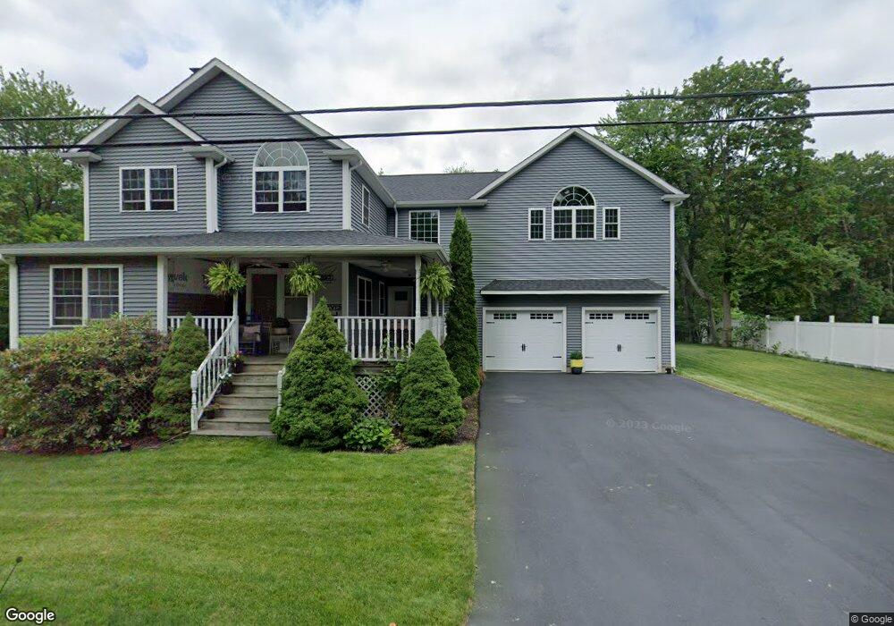
24 Middleton St Millbury, MA 01527
Estimated Value: $364,000 - $496,000
4
Beds
3
Baths
960
Sq Ft
$473/Sq Ft
Est. Value
About This Home
This home is located at 24 Middleton St, Millbury, MA 01527 and is currently estimated at $454,322, approximately $473 per square foot. 24 Middleton St is a home located in Worcester County with nearby schools including Elmwood Street Elementary School, Raymond E. Shaw Elementary School, and Millbury Junior/Senior High School.
Ownership History
Date
Name
Owned For
Owner Type
Purchase Details
Closed on
Nov 29, 2004
Sold by
Thomas Bonnie M
Bought by
Thomas Bruce E
Current Estimated Value
Home Financials for this Owner
Home Financials are based on the most recent Mortgage that was taken out on this home.
Original Mortgage
$152,000
Outstanding Balance
$76,223
Interest Rate
5.75%
Mortgage Type
Purchase Money Mortgage
Estimated Equity
$378,099
Purchase Details
Closed on
Sep 1, 1987
Sold by
Thomas Richard H
Bought by
Thomas Bruce E
Create a Home Valuation Report for This Property
The Home Valuation Report is an in-depth analysis detailing your home's value as well as a comparison with similar homes in the area
Home Values in the Area
Average Home Value in this Area
Purchase History
| Date | Buyer | Sale Price | Title Company |
|---|---|---|---|
| Thomas Bruce E | -- | -- | |
| Thomas Bruce E | $55,000 | -- |
Source: Public Records
Mortgage History
| Date | Status | Borrower | Loan Amount |
|---|---|---|---|
| Open | Thomas Bruce E | $152,000 | |
| Previous Owner | Thomas Bruce E | $130,000 | |
| Previous Owner | Thomas Bruce E | $42,000 | |
| Previous Owner | Thomas Bruce E | $28,000 | |
| Previous Owner | Thomas Bruce E | $28,000 |
Source: Public Records
Tax History Compared to Growth
Tax History
| Year | Tax Paid | Tax Assessment Tax Assessment Total Assessment is a certain percentage of the fair market value that is determined by local assessors to be the total taxable value of land and additions on the property. | Land | Improvement |
|---|---|---|---|---|
| 2025 | $5,918 | $442,000 | $114,500 | $327,500 |
| 2024 | $5,453 | $412,200 | $106,000 | $306,200 |
| 2023 | $4,981 | $344,700 | $74,400 | $270,300 |
| 2022 | $4,584 | $305,600 | $74,400 | $231,200 |
| 2021 | $4,396 | $295,000 | $74,400 | $220,600 |
| 2020 | $5,899 | $384,800 | $74,400 | $310,400 |
| 2019 | $3,840 | $242,300 | $67,600 | $174,700 |
| 2018 | $3,201 | $195,900 | $67,600 | $128,300 |
| 2017 | $3,020 | $183,800 | $67,600 | $116,200 |
| 2016 | $2,885 | $175,300 | $67,600 | $107,700 |
| 2015 | $2,871 | $174,400 | $71,800 | $102,600 |
| 2014 | $2,676 | $156,500 | $71,800 | $84,700 |
Source: Public Records
Map
Nearby Homes
- 11 Maplewood Rd
- 27 A-B Grafton St
- 12 Irene Ct
- 1 Hastings Ave
- 2 Diane St
- 76 Weatherstone Dr
- 39 Pointe Rok Dr Unit 39
- 31 Pointe Rok Dr Unit 31
- 95 Pineland Ave
- 1218 Grafton St
- 1203 Grafton St Unit 38
- 31 Crane St
- 255 Riverlin St
- 1195 Grafton St Unit 4
- 1195 Grafton St Unit 3
- 20 Duluth St
- 11 Margin St
- 1 Broadmeadow Ave
- 21 Lordvale Blvd Unit 406
- 330 Millbury Ave
- 18 Middleton St
- 17A Middleton St Unit C
- 12 Middleton St
- 27 Middleton St
- 27 Middleton St Unit B
- 27 B Middleton St Unit B
- 34 Middleton St
- 10 Middleton St Unit house
- 10 Middleton St Unit 1
- 13 Middleton St
- 9 Scott St
- 33 Middleton St
- 8 Middleton St
- 16 Raymond St
- 11 Middleton St
- 22 Raymond St
- 36 Middleton St
- 14 Raymond St
- 7 Scott St
- 10 Raymond St