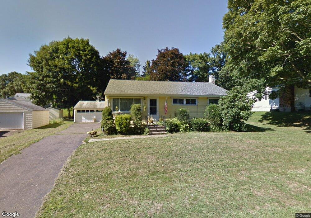
24 Mildred Rd Meriden, CT 06450
Estimated Value: $314,000 - $340,000
3
Beds
1
Bath
988
Sq Ft
$325/Sq Ft
Est. Value
About This Home
This home is located at 24 Mildred Rd, Meriden, CT 06450 and is currently estimated at $321,468, approximately $325 per square foot. 24 Mildred Rd is a home located in New Haven County with nearby schools including Thomas Hooker School, Washington Middle School, and Francis T. Maloney High School.
Ownership History
Date
Name
Owned For
Owner Type
Purchase Details
Closed on
Dec 21, 2020
Sold by
Sullivan Brian
Bought by
Sullivan Brian and Sullivan Sandra J
Current Estimated Value
Purchase Details
Closed on
Aug 6, 2009
Sold by
Moriarty Michael
Bought by
Sullivan Brian
Home Financials for this Owner
Home Financials are based on the most recent Mortgage that was taken out on this home.
Original Mortgage
$8,150
Interest Rate
5.47%
Purchase Details
Closed on
Jun 21, 2005
Sold by
Kelly Sharon
Bought by
Moriarty Michael
Home Financials for this Owner
Home Financials are based on the most recent Mortgage that was taken out on this home.
Original Mortgage
$100,000
Interest Rate
5.78%
Create a Home Valuation Report for This Property
The Home Valuation Report is an in-depth analysis detailing your home's value as well as a comparison with similar homes in the area
Home Values in the Area
Average Home Value in this Area
Purchase History
| Date | Buyer | Sale Price | Title Company |
|---|---|---|---|
| Sullivan Brian | -- | None Available | |
| Sullivan Brian | $178,000 | -- | |
| Moriarty Michael | -- | -- | |
| Moriarty Michael | $130,000 | -- |
Source: Public Records
Mortgage History
| Date | Status | Borrower | Loan Amount |
|---|---|---|---|
| Previous Owner | Moriarty Michael | $8,150 | |
| Previous Owner | Moriarty Michael | $174,750 | |
| Previous Owner | Moriarty Michael | $30,000 | |
| Previous Owner | Moriarty Michael | $100,000 |
Source: Public Records
Tax History Compared to Growth
Tax History
| Year | Tax Paid | Tax Assessment Tax Assessment Total Assessment is a certain percentage of the fair market value that is determined by local assessors to be the total taxable value of land and additions on the property. | Land | Improvement |
|---|---|---|---|---|
| 2024 | $4,710 | $129,710 | $42,630 | $87,080 |
| 2023 | $4,513 | $129,710 | $42,630 | $87,080 |
| 2022 | $4,279 | $129,710 | $42,630 | $87,080 |
| 2021 | $3,724 | $91,140 | $35,280 | $55,860 |
| 2020 | $3,724 | $91,140 | $35,280 | $55,860 |
| 2019 | $3,724 | $91,140 | $35,280 | $55,860 |
| 2018 | $3,568 | $86,940 | $35,280 | $51,660 |
| 2017 | $3,471 | $86,940 | $35,280 | $51,660 |
| 2016 | $3,221 | $87,990 | $26,670 | $61,320 |
| 2015 | $3,221 | $87,920 | $26,600 | $61,320 |
| 2014 | $3,142 | $87,920 | $26,600 | $61,320 |
Source: Public Records
Map
Nearby Homes
- 142 Thorpe Ave
- 1311 Old East Main St Unit A
- 361 Pomeroy Ave
- 26 Collindale Dr
- 1280 E Main St
- 180 Wayne Ln
- 164 Valley View Dr
- 40 Arlington St N
- 18 Arlington St N
- 10 Massasoit Rd
- 160 Bee St
- 170 Bee St
- 180 Bee St
- 0 Kikapoo Rd
- 47 Margerie St
- 0 Baileyville Rd
- 56 Gravel St
- 533 Paddock Ave
- 47 Cricket Dr
- 31 High St Unit Lot 3