24 Millbrook Hollow Ln Unit B1 Millbrook, NY 12545
Estimated Value: $476,913 - $654,000
3
Beds
3
Baths
1,914
Sq Ft
$310/Sq Ft
Est. Value
About This Home
This home is located at 24 Millbrook Hollow Ln Unit B1, Millbrook, NY 12545 and is currently estimated at $593,228, approximately $309 per square foot. 24 Millbrook Hollow Ln Unit B1 is a home located in Dutchess County with nearby schools including Elm Drive Elementary School, Alden Place Elementary School, and Millbrook Middle School.
Ownership History
Date
Name
Owned For
Owner Type
Purchase Details
Closed on
Jan 25, 2023
Sold by
Myers Dapne H
Bought by
24 Millbrook Hollow Llc
Current Estimated Value
Purchase Details
Closed on
Dec 7, 2020
Sold by
Mcneil Dianne A
Bought by
Myers Daphne H
Purchase Details
Closed on
Dec 29, 2004
Sold by
Path Holding Company
Bought by
Mcneil Dianne
Purchase Details
Closed on
Oct 3, 1996
Sold by
Mulcahy James R
Bought by
Path Holding Company Inc
Create a Home Valuation Report for This Property
The Home Valuation Report is an in-depth analysis detailing your home's value as well as a comparison with similar homes in the area
Home Values in the Area
Average Home Value in this Area
Purchase History
| Date | Buyer | Sale Price | Title Company |
|---|---|---|---|
| 24 Millbrook Hollow Llc | -- | None Available | |
| Myers Daphne H | $435,000 | None Available | |
| Myers Daphne H | $435,000 | None Available | |
| Mcneil Dianne | $345,000 | -- | |
| Mcneil Dianne | $345,000 | -- | |
| Path Holding Company Inc | $161,400 | -- | |
| Path Holding Company Inc | $161,400 | -- |
Source: Public Records
Tax History
| Year | Tax Paid | Tax Assessment Tax Assessment Total Assessment is a certain percentage of the fair market value that is determined by local assessors to be the total taxable value of land and additions on the property. | Land | Improvement |
|---|---|---|---|---|
| 2024 | $5,561 | $213,339 | -- | $213,339 |
| 2023 | $5,259 | $213,339 | -- | $213,339 |
| 2022 | $5,170 | $213,339 | $0 | $213,339 |
| 2021 | $5,023 | $213,339 | $0 | $213,339 |
| 2020 | $3,346 | $184,500 | $0 | $184,500 |
| 2019 | $3,300 | $184,500 | $0 | $184,500 |
| 2018 | $3,217 | $184,500 | $0 | $184,500 |
| 2017 | $3,412 | $197,100 | $0 | $197,100 |
| 2016 | $3,363 | $197,100 | $0 | $197,100 |
| 2015 | -- | $197,100 | $0 | $197,100 |
| 2014 | -- | $197,100 | $0 | $197,100 |
Source: Public Records
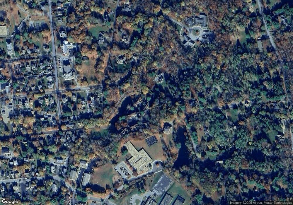
Map
Nearby Homes
- 44 Merrit Ave
- 3311 Franklin Ave
- 188 Nine Partners Ln
- 121-125 Butts Hollow Rd
- 97 Valley Farm Rd
- 121 Stanford Rd
- TBD Stanford Rd
- 45 Hitchcock Ln
- 20 Orchard Hill Dr
- 66 County House Rd
- 121 Valley Farm Rd
- 37 Maple Hill Dr
- 43 Maple Hill Dr
- 3985 Route 82
- 45 Maple Hill Dr
- 568 Oak Summit Rd
- 3893 Route 82
- 477 Canoe Hill Rd
- 508 Woodstock Rd
- 4388 Route 82
- 24 Millbrook Hollow Ln Unit B3
- 25 Millbrook Hollow Ln Unit B2
- 26 Millbrook Hollow Ln
- 22 Lower Ln
- 23 Lower Ln
- 27 Millbrook Hollow Ln Unit C4
- 28 Millbrook Hollow Ln
- 29 Millbrook Hollow Ln
- 32 Upper Ln
- 49 Linden Ln N
- 49 Linden Ln
- 1 Linden Ln Unit C
- 35 Upper Ln Unit E1
- 36 Upper Ln Unit D3
- 37 Upper Ln
- 38 Upper Ln
- 5 Linden Ct
- 3353 Franklin Ave
- 3334 Franklin Ave
- 11 Linden Ct
Your Personal Tour Guide
Ask me questions while you tour the home.