24 Minuteman Ln Sudbury, MA 01776
Estimated Value: $1,075,000 - $1,317,000
4
Beds
3
Baths
2,588
Sq Ft
$470/Sq Ft
Est. Value
About This Home
This home is located at 24 Minuteman Ln, Sudbury, MA 01776 and is currently estimated at $1,216,299, approximately $469 per square foot. 24 Minuteman Ln is a home located in Middlesex County with nearby schools including General John Nixon Elementary School, Ephraim Curtis Middle School, and Lincoln-Sudbury Regional High School.
Ownership History
Date
Name
Owned For
Owner Type
Purchase Details
Closed on
Jun 22, 2017
Sold by
Louise P Card T
Bought by
Eddy Nicholas and Eddy Elizabeth
Current Estimated Value
Home Financials for this Owner
Home Financials are based on the most recent Mortgage that was taken out on this home.
Original Mortgage
$556,000
Outstanding Balance
$462,856
Interest Rate
4.05%
Mortgage Type
New Conventional
Estimated Equity
$753,443
Purchase Details
Closed on
Apr 11, 2011
Sold by
Card Louise P
Bought by
Louise P Card T P and Louise Card
Create a Home Valuation Report for This Property
The Home Valuation Report is an in-depth analysis detailing your home's value as well as a comparison with similar homes in the area
Home Values in the Area
Average Home Value in this Area
Purchase History
| Date | Buyer | Sale Price | Title Company |
|---|---|---|---|
| Eddy Nicholas | $695,000 | -- | |
| Louise P Card T P | -- | -- | |
| Louise P Card T | -- | -- |
Source: Public Records
Mortgage History
| Date | Status | Borrower | Loan Amount |
|---|---|---|---|
| Open | Eddy Nicholas | $556,000 |
Source: Public Records
Tax History Compared to Growth
Tax History
| Year | Tax Paid | Tax Assessment Tax Assessment Total Assessment is a certain percentage of the fair market value that is determined by local assessors to be the total taxable value of land and additions on the property. | Land | Improvement |
|---|---|---|---|---|
| 2025 | $16,119 | $1,101,000 | $500,900 | $600,100 |
| 2024 | $15,444 | $1,057,100 | $486,500 | $570,600 |
| 2023 | $14,404 | $913,400 | $434,500 | $478,900 |
| 2022 | $14,162 | $784,600 | $398,500 | $386,100 |
| 2021 | $13,616 | $723,100 | $398,500 | $324,600 |
| 2020 | $13,341 | $723,100 | $398,500 | $324,600 |
| 2019 | $12,951 | $723,100 | $398,500 | $324,600 |
| 2018 | $12,413 | $692,300 | $424,100 | $268,200 |
| 2017 | $12,171 | $686,100 | $420,500 | $265,600 |
| 2016 | $12,029 | $675,800 | $404,500 | $271,300 |
| 2015 | $11,595 | $658,800 | $392,900 | $265,900 |
| 2014 | $11,572 | $641,800 | $381,300 | $260,500 |
Source: Public Records
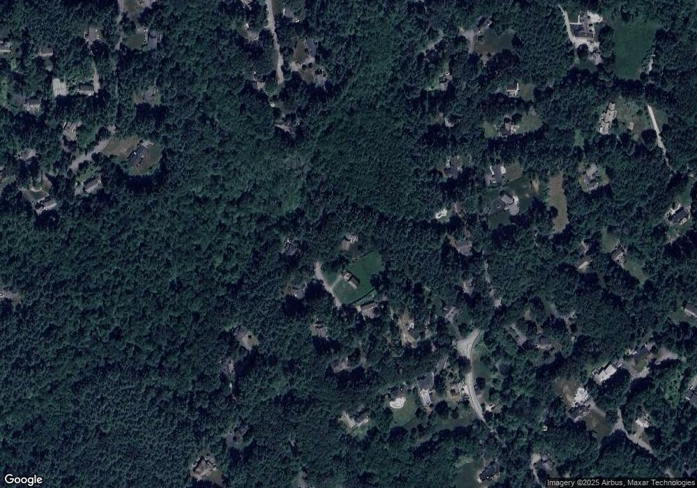
Map
Nearby Homes
- 70 Marlboro Rd
- 55 Widow Rites Ln
- 45 Widow Rites Ln
- 9 Anthony Dr
- 5 Taintor Dr
- 14 Frost Ln
- 54 Phillips Rd
- 42 Dakin Rd
- 16 Blacksmith Dr
- 12 Camperdown Ln
- 19 Skyview Ln
- 24 Goodnow Rd
- 36 Old Forge Ln
- 427 Concord Rd
- 210 Plympton Rd
- 67 Powder Mill Rd
- 11 Barnet Rd
- 47 Fairbank Rd
- 377 Concord Rd
- 11 Fox Hill Dr
- 14 Minuteman Ln
- 23 Minuteman Ln
- 203 Marlboro Rd
- 15 Minuteman Ln
- 9 Minuteman Ln
- 19 Mossman Rd
- 207 Marlboro Rd
- 217 Marlboro Rd
- 11 Mossman Rd
- 195 Marlboro Rd
- 27 Mossman Rd
- 5 Mossman Rd
- 35 Stone Root Ln
- 208 Marlboro Rd
- 179 Marlboro Rd
- 33 Mossman Rd
- 200 Marlboro Rd
- 32 Stone Root Ln
- 177 Marlboro Rd Unit L:2
- 20 Mossman Rd