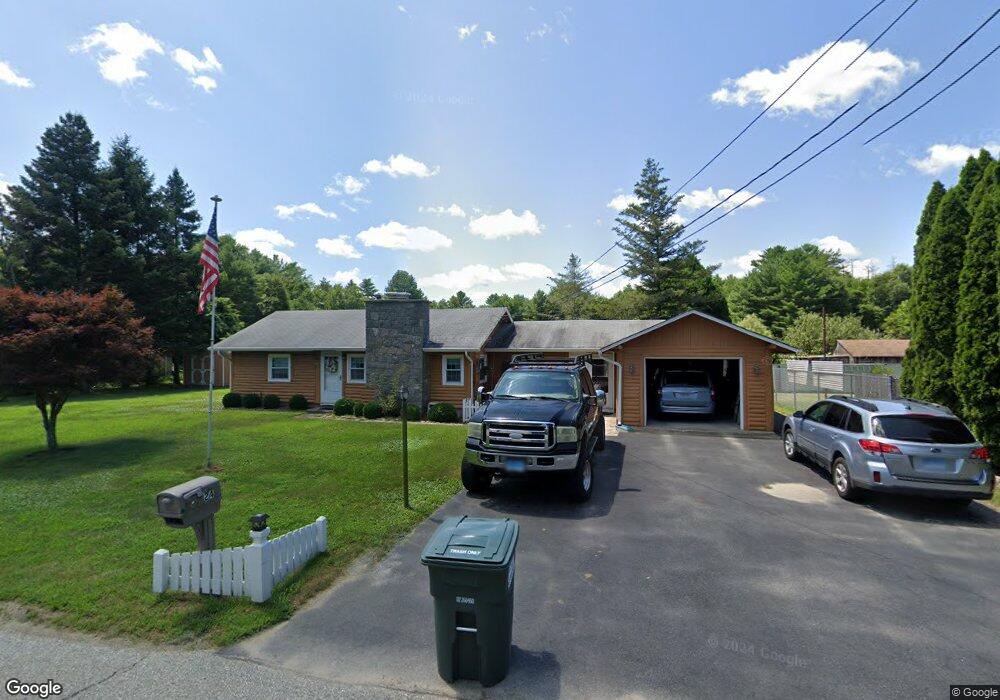
24 Mohunganuck Trail Voluntown, CT 06384
Estimated Value: $281,000 - $311,000
2
Beds
1
Bath
844
Sq Ft
$353/Sq Ft
Est. Value
About This Home
This home is located at 24 Mohunganuck Trail, Voluntown, CT 06384 and is currently estimated at $297,783, approximately $352 per square foot. 24 Mohunganuck Trail is a home located in New London County with nearby schools including Voluntown Elementary School.
Ownership History
Date
Name
Owned For
Owner Type
Purchase Details
Closed on
Oct 9, 2012
Sold by
Tougas Ronald H and Tougas June M
Bought by
Tougas Ft and Tougas
Current Estimated Value
Purchase Details
Closed on
Apr 15, 2010
Sold by
Department Of Housing & Urban Dev
Bought by
Tougas Ronald H and Tougas June M
Purchase Details
Closed on
May 18, 2009
Sold by
Laroche Alfred J and Andrews Tanya M
Bought by
Chfa
Purchase Details
Closed on
Sep 27, 2007
Sold by
Nash Kenneth T
Bought by
Laroche Alfred J and Andrews Tanya M
Home Financials for this Owner
Home Financials are based on the most recent Mortgage that was taken out on this home.
Original Mortgage
$187,050
Interest Rate
6.65%
Mortgage Type
Purchase Money Mortgage
Create a Home Valuation Report for This Property
The Home Valuation Report is an in-depth analysis detailing your home's value as well as a comparison with similar homes in the area
Home Values in the Area
Average Home Value in this Area
Purchase History
| Date | Buyer | Sale Price | Title Company |
|---|---|---|---|
| Tougas Ft | -- | -- | |
| Tougas Ronald H | $80,000 | -- | |
| Chfa | -- | -- | |
| Laroche Alfred J | $190,000 | -- |
Source: Public Records
Mortgage History
| Date | Status | Borrower | Loan Amount |
|---|---|---|---|
| Previous Owner | Laroche Alfred J | $187,050 |
Source: Public Records
Tax History Compared to Growth
Tax History
| Year | Tax Paid | Tax Assessment Tax Assessment Total Assessment is a certain percentage of the fair market value that is determined by local assessors to be the total taxable value of land and additions on the property. | Land | Improvement |
|---|---|---|---|---|
| 2025 | $3,111 | $150,150 | $30,800 | $119,350 |
| 2024 | $2,718 | $92,940 | $30,810 | $62,130 |
| 2023 | $2,581 | $92,940 | $30,810 | $62,130 |
| 2022 | $2,581 | $92,940 | $30,810 | $62,130 |
| 2021 | $2,610 | $92,940 | $30,810 | $62,130 |
| 2020 | $2,785 | $95,340 | $30,650 | $64,690 |
| 2019 | $2,785 | $95,340 | $30,650 | $64,690 |
| 2018 | $2,757 | $95,340 | $30,650 | $64,690 |
| 2017 | $2,675 | $95,340 | $30,650 | $64,690 |
| 2016 | $2,675 | $95,340 | $30,650 | $64,690 |
| 2015 | $2,158 | $99,860 | $30,650 | $69,210 |
| 2014 | $2,422 | $99,860 | $30,650 | $69,210 |
Source: Public Records
Map
Nearby Homes
- 112 Bailey Pond Rd
- 445 Plain Rd
- 453 Plain Rd
- 367 Pine Hill Rd
- 47 N Shore Rd
- 40 Tanglewood Ln
- 19 N Shore Rd
- 01 Stubble Brook Rd
- 532 Lewis Farm Rd
- 64 Knight View Dr
- 126 Pine Hill Rd
- 5 Laurel Dr
- 628 Beach Pond Rd
- 38 Deerfield Dr
- 176 Hopkins Hollow Rd
- 18 Ledge Hill Rd
- 6356 Flat River Rd
- 234 John Potter Rd
- 211 Victory Hwy
- 197 Church St
- 25 Pawcatuck Trail
- 28 Mohunganuck Trail
- 18 Mohunganuck Trail
- 17 Pawcatuck Trail
- 19 Mohunganuck Trail
- 3 Micmac Trail
- 27 Mohunganuck Trail
- 17 Mohunganuck Trail
- 24 Pawcatuck Trail
- 12 Mohunganuck Trail
- 9 Mohunganuck Trail
- 11 Pawcatuck Trail
- 14 Pawcatuck Trail
- 11 Mohunganuck Trail
- 21 Micmac Trail
- 22 Micmac Trail
- 6 Mohunganuck Trail
- 64 Bailey Pond Rd
- 186 Bailey Pond Rd
- 3 Mohunganuck Trail