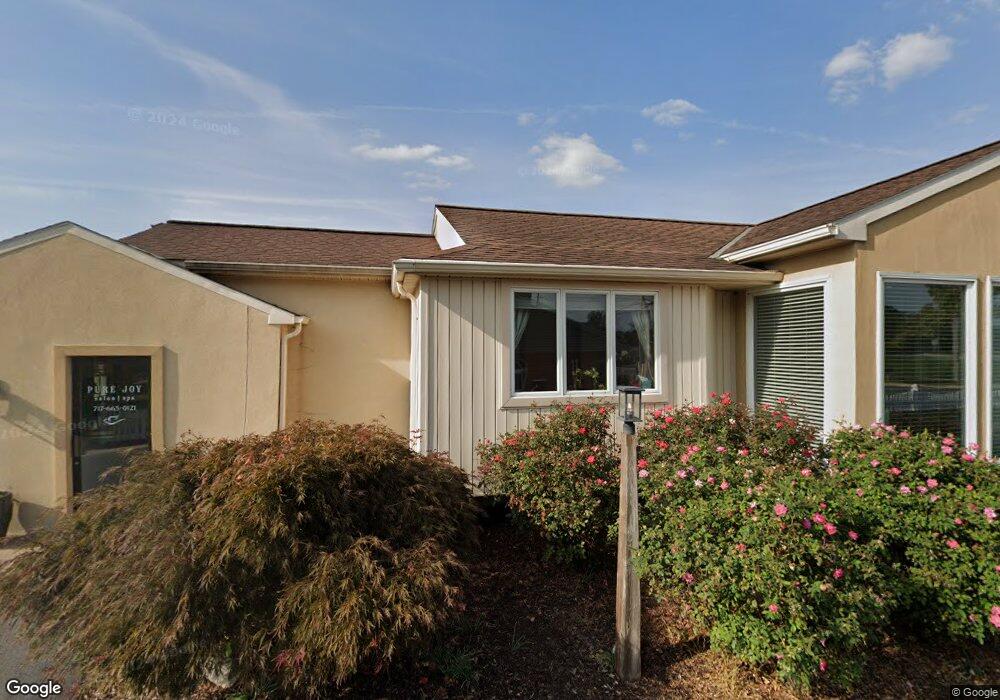
24 N Penryn Rd Manheim, PA 17545
Estimated Value: $387,689
2
Beds
1
Bath
1,448
Sq Ft
$268/Sq Ft
Est. Value
About This Home
This home is located at 24 N Penryn Rd, Manheim, PA 17545 and is currently estimated at $387,689, approximately $267 per square foot. 24 N Penryn Rd is a home located in Lancaster County with nearby schools including Manheim Central Senior High School, Manheim Christian Day School, and Sporting Hill Christian School.
Ownership History
Date
Name
Owned For
Owner Type
Purchase Details
Closed on
Nov 27, 2019
Sold by
Barto Connie M and Barto Michael I
Bought by
Breinich David A and Breinich Emily J
Current Estimated Value
Home Financials for this Owner
Home Financials are based on the most recent Mortgage that was taken out on this home.
Original Mortgage
$212,500
Outstanding Balance
$187,349
Interest Rate
3.6%
Mortgage Type
Future Advance Clause Open End Mortgage
Estimated Equity
$200,340
Purchase Details
Closed on
May 22, 2006
Sold by
Barto Connie M and Barto Michael I
Bought by
Barto Michael I and Barto Connie M
Purchase Details
Closed on
Nov 17, 2000
Sold by
Neff John W and Neff Lorraine A
Bought by
Barto Michael I and Barto Connie M
Home Financials for this Owner
Home Financials are based on the most recent Mortgage that was taken out on this home.
Original Mortgage
$250,000
Interest Rate
7.78%
Mortgage Type
Commercial
Create a Home Valuation Report for This Property
The Home Valuation Report is an in-depth analysis detailing your home's value as well as a comparison with similar homes in the area
Home Values in the Area
Average Home Value in this Area
Purchase History
| Date | Buyer | Sale Price | Title Company |
|---|---|---|---|
| Breinich David A | $250,000 | None Available | |
| Barto Michael I | $70,700 | None Available | |
| Barto Michael I | $105,000 | -- |
Source: Public Records
Mortgage History
| Date | Status | Borrower | Loan Amount |
|---|---|---|---|
| Open | Breinich David A | $212,500 | |
| Previous Owner | Barto Michael I | $250,000 |
Source: Public Records
Tax History Compared to Growth
Tax History
| Year | Tax Paid | Tax Assessment Tax Assessment Total Assessment is a certain percentage of the fair market value that is determined by local assessors to be the total taxable value of land and additions on the property. | Land | Improvement |
|---|---|---|---|---|
| 2025 | $3,890 | $190,800 | $85,400 | $105,400 |
| 2024 | $3,890 | $190,800 | $85,400 | $105,400 |
| 2023 | $3,808 | $190,800 | $85,400 | $105,400 |
| 2022 | $3,710 | $190,800 | $85,400 | $105,400 |
| 2021 | $3,626 | $190,800 | $85,400 | $105,400 |
| 2020 | $3,626 | $190,800 | $85,400 | $105,400 |
| 2019 | $3,563 | $190,800 | $85,400 | $105,400 |
| 2018 | $2,734 | $190,800 | $85,400 | $105,400 |
| 2017 | $3,296 | $141,400 | $41,000 | $100,400 |
| 2016 | $3,296 | $141,400 | $41,000 | $100,400 |
| 2015 | $783 | $141,400 | $41,000 | $100,400 |
| 2014 | $2,430 | $141,400 | $41,000 | $100,400 |
Source: Public Records
Map
Nearby Homes
- 421 Rosewood Dr
- 981 Cambridge Dr
- 758 Heather Ridge Unit 158
- 554 Mallard Dr
- 616 Auburn Dr Unit 190
- 732 Heather Ridge Unit 147
- 609 Hamaker Rd
- 461 Thrush Dr
- 239 E High St
- 655 White Oak Rd
- 121 Mill St
- 232 Julia Ln
- 173 S Wolf St
- 120 Julia Ln
- 123 S Main St
- 108 110 S Main St
- 27 W Ferdinand St
- 188 N Main St
- 33 W Ferdinand St
- 37 W Ferdinand St
- 16 N Penryn Rd
- 6 N Penryn Rd
- 185 Doe Run Rd
- 41 N Penryn Rd
- 1 N Penryn Rd
- 177 Doe Run Rd
- 184 Doe Run Rd
- 196 Doe Run Rd
- 210 Doe Run Rd
- 190-198 Doe Run Rd Road 192
- 178 Doe Run Rd
- 188 Doe Run Rd
- 192 Doe Run Rd
- 192 Doe Run Rd
- 28 S Penryn Rd
- 216 Doe Run Rd
- 170 Doe Run Rd
- 222 Doe Run Rd
- 40 S Penryn Rd
- 228 Doe Run Rd