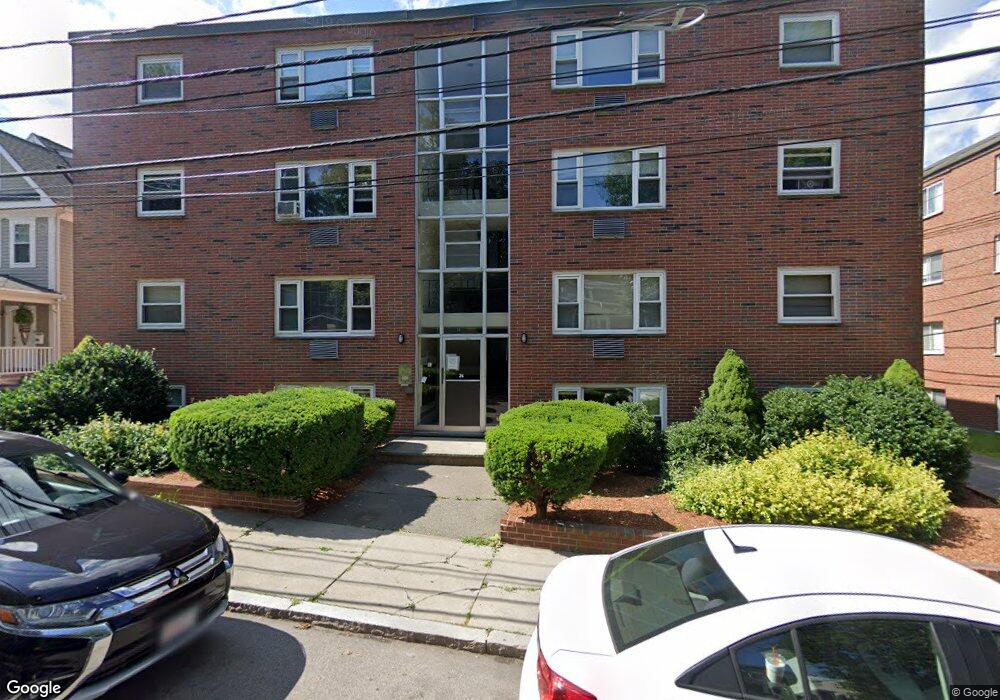
24 Nahant Ave Unit 7 Dorchester, MA 02122
Neponset-Port Norfolk NeighborhoodEstimated Value: $314,645 - $388,000
2
Beds
1
Bath
717
Sq Ft
$509/Sq Ft
Est. Value
About This Home
This home is located at 24 Nahant Ave Unit 7, Dorchester, MA 02122 and is currently estimated at $364,661, approximately $508 per square foot. 24 Nahant Ave Unit 7 is a home located in Suffolk County with nearby schools including Neighborhood House Charter School, St Brendan School, and Epiphany School.
Ownership History
Date
Name
Owned For
Owner Type
Purchase Details
Closed on
Aug 30, 2018
Sold by
4 Properties Rt
Bought by
Jemast 1 Llc
Current Estimated Value
Home Financials for this Owner
Home Financials are based on the most recent Mortgage that was taken out on this home.
Original Mortgage
$1,500,000
Outstanding Balance
$1,305,394
Interest Rate
4.5%
Mortgage Type
Stand Alone Refi Refinance Of Original Loan
Estimated Equity
-$940,733
Purchase Details
Closed on
May 22, 2001
Sold by
Baranowski James A
Bought by
Nahant Rt
Create a Home Valuation Report for This Property
The Home Valuation Report is an in-depth analysis detailing your home's value as well as a comparison with similar homes in the area
Home Values in the Area
Average Home Value in this Area
Purchase History
| Date | Buyer | Sale Price | Title Company |
|---|---|---|---|
| Jemast 1 Llc | -- | -- | |
| Nahant Rt | $17,475 | -- |
Source: Public Records
Mortgage History
| Date | Status | Borrower | Loan Amount |
|---|---|---|---|
| Open | Jemast 1 Llc | $1,500,000 |
Source: Public Records
Tax History Compared to Growth
Tax History
| Year | Tax Paid | Tax Assessment Tax Assessment Total Assessment is a certain percentage of the fair market value that is determined by local assessors to be the total taxable value of land and additions on the property. | Land | Improvement |
|---|---|---|---|---|
| 2025 | $1,728 | $149,200 | $0 | $149,200 |
| 2024 | $1,698 | $155,800 | $0 | $155,800 |
| 2023 | $1,719 | $160,100 | $0 | $160,100 |
| 2022 | $1,671 | $153,600 | $0 | $153,600 |
| 2021 | $1,637 | $153,400 | $0 | $153,400 |
| 2020 | $1,532 | $145,100 | $0 | $145,100 |
| 2019 | $1,460 | $138,500 | $0 | $138,500 |
| 2018 | $1,368 | $130,500 | $0 | $130,500 |
| 2017 | $1,345 | $127,000 | $0 | $127,000 |
| 2016 | $1,181 | $107,399 | $0 | $107,399 |
| 2015 | $1,185 | $97,817 | $0 | $97,817 |
| 2014 | $1,043 | $82,935 | $0 | $82,935 |
Source: Public Records
Map
Nearby Homes
- 667 Adams St
- 114 Wrentham St Unit 1
- 97 Oakton Ave Unit two
- 45 S Munroe Terrace Unit 2
- 48 Coffey St Unit PH:10D
- 80 Beaumont St Unit 101
- 56 Coffey St Unit 7
- 107 Minot St
- 51 Coffey St Unit 51C
- 45 Coffey St Unit 45-1
- 223 Neponset Ave Unit 2
- 103 Minot St
- 217 Neponset Ave Unit 33
- 41 Rosemont St Unit 3
- 37 Westmoreland St
- 51 Florida St Unit 3
- 140 Minot St
- 45 Chickatawbut St Unit 1
- 45 Chickatawbut St Unit 2
- 80-84 Shepton St Unit 80-3
- 24 Nahant Ave Unit 16
- 24 Nahant Ave Unit 15
- 24 Nahant Ave Unit 14
- 24 Nahant Ave Unit 14A
- 24 Nahant Ave Unit 12
- 24 Nahant Ave Unit 11
- 24 Nahant Ave Unit 10
- 24 Nahant Ave Unit 9
- 24 Nahant Ave Unit 8
- 24 Nahant Ave Unit 6
- 24 Nahant Ave Unit 5
- 24 Nahant Ave Unit 4
- 24 Nahant Ave Unit 3
- 24 Nahant Ave Unit 2
- 24 Nahant Ave Unit 1
- 20 Nahant Ave
- 16 Nahant Ave
- 10 Ashmont Ct Unit 3
- 10 Ashmont Ct Unit 2
- 10 Ashmont Ct Unit 1