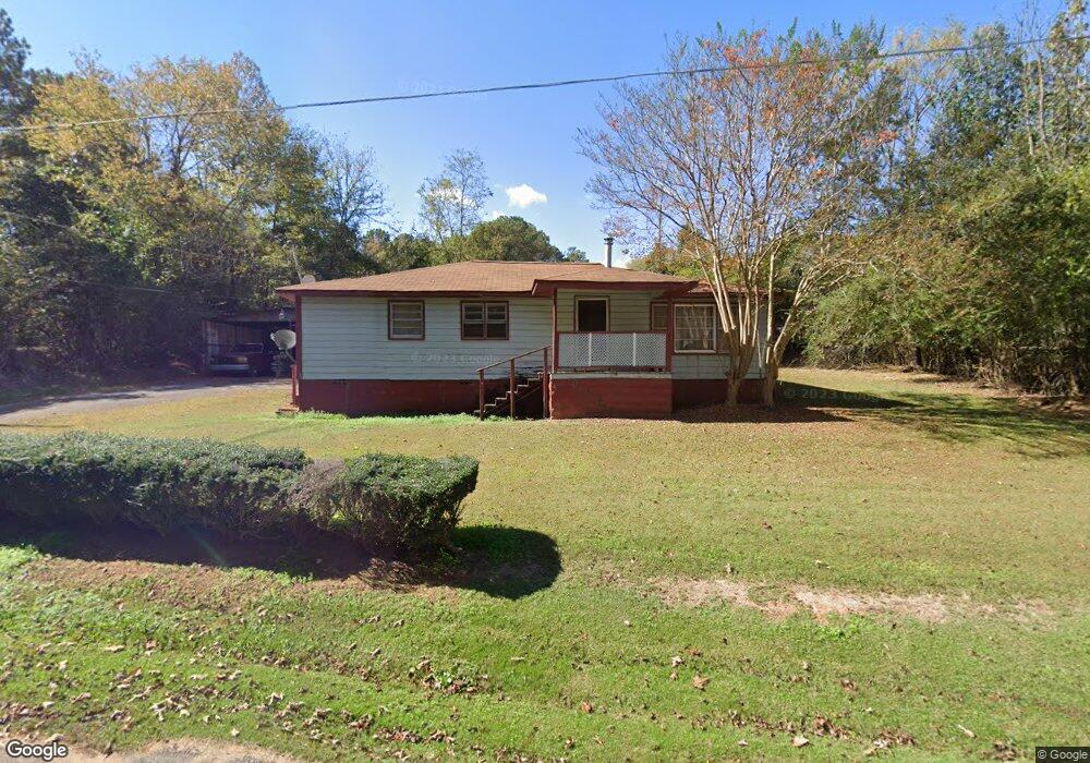
24 Oakridge Dr Lagrange, GA 30240
Estimated Value: $93,374 - $144,000
3
Beds
1
Bath
1,008
Sq Ft
$126/Sq Ft
Est. Value
About This Home
This home is located at 24 Oakridge Dr, Lagrange, GA 30240 and is currently estimated at $127,344, approximately $126 per square foot. 24 Oakridge Dr is a home located in Troup County with nearby schools including Berta Weathersbee Elementary School, Long Cane Elementary School, and Whitesville Road Elementary School.
Ownership History
Date
Name
Owned For
Owner Type
Purchase Details
Closed on
Apr 4, 2001
Sold by
Barbara Counts
Bought by
Siggers Lee
Current Estimated Value
Purchase Details
Closed on
Nov 21, 1996
Sold by
Lillian Irene Shelnutt
Bought by
Barbara Counts
Purchase Details
Closed on
May 21, 1996
Sold by
Lillian Irene H Shelnutt
Bought by
Lillian Irene Shelnutt
Purchase Details
Closed on
May 1, 1996
Sold by
Curtis W Shelnutt By Ex
Bought by
Lillian Irene H Shelnutt
Purchase Details
Closed on
Jan 1, 1968
Bought by
Curtis W Shelnutt By Ex
Create a Home Valuation Report for This Property
The Home Valuation Report is an in-depth analysis detailing your home's value as well as a comparison with similar homes in the area
Purchase History
| Date | Buyer | Sale Price | Title Company |
|---|---|---|---|
| Siggers Lee | $32,800 | -- | |
| Barbara Counts | $10,000 | -- | |
| Lillian Irene Shelnutt | $10,000 | -- | |
| Lillian Irene H Shelnutt | -- | -- | |
| Curtis W Shelnutt By Ex | -- | -- |
Source: Public Records
Tax History
| Year | Tax Paid | Tax Assessment Tax Assessment Total Assessment is a certain percentage of the fair market value that is determined by local assessors to be the total taxable value of land and additions on the property. | Land | Improvement |
|---|---|---|---|---|
| 2025 | $147 | $29,656 | $1,640 | $28,016 |
| 2024 | $146 | $24,576 | $1,640 | $22,936 |
| 2023 | $2 | $20,176 | $1,640 | $18,536 |
| 2022 | $98 | $19,216 | $1,640 | $17,576 |
| 2021 | $103 | $19,060 | $2,560 | $16,500 |
| 2020 | $274 | $19,060 | $2,560 | $16,500 |
| 2019 | $266 | $18,780 | $2,560 | $16,220 |
| 2018 | $222 | $17,324 | $2,588 | $14,736 |
| 2017 | $222 | $17,324 | $2,588 | $14,736 |
| 2016 | $457 | $17,135 | $2,588 | $14,547 |
| 2015 | $456 | $17,055 | $2,588 | $14,467 |
| 2014 | $433 | $16,294 | $2,588 | $13,706 |
| 2013 | -- | $17,208 | $2,588 | $14,620 |
Source: Public Records
Map
Nearby Homes
- 0 Bradfield Dr Unit 10568803
- 808 S Fling Rd
- 8 Horace Carter Rd
- 427 Fling Rd
- 509 Connie Dr
- 275 Hanson Dr
- 0 Glass Bridge Rd Unit 10679358
- 0 Hanson Dr Unit 10641272
- 22 Freeman Rd
- 3 Reed Dr
- 124 Foxdale Dr
- 105 Redwood Dr
- 266 Glass Bridge Rd
- 0 Unit 10514554
- 104 Bridlewood Dr
- 336 Whitaker Rd
- 640 Hudson Rd
- 223 Pinehaven Dr
- 117 Brookwood Dr
- 3835 W Point Rd
- 25 Oakridge Dr
- 44 Oakridge Dr
- 17 Oakridge Dr
- 2725 West Point Rd
- 2785 West Point Rd
- 45 Oakridge Dr
- 2714 W Point Rd
- 2760 West Point Rd
- 56 Oakridge Dr
- 2809 West Point Rd
- 74 Oakridge Dr
- 2726 West Point Rd
- 2726 W Point Rd
- 2800 West Point Rd
- 2700 West Point Rd
- 2700 W Point Rd
- 100 Oakridge Dr
- 100 Oakridge Dr
- 803 S Fling Rd
- 87 Horace Carter Rd
Your Personal Tour Guide
Ask me questions while you tour the home.