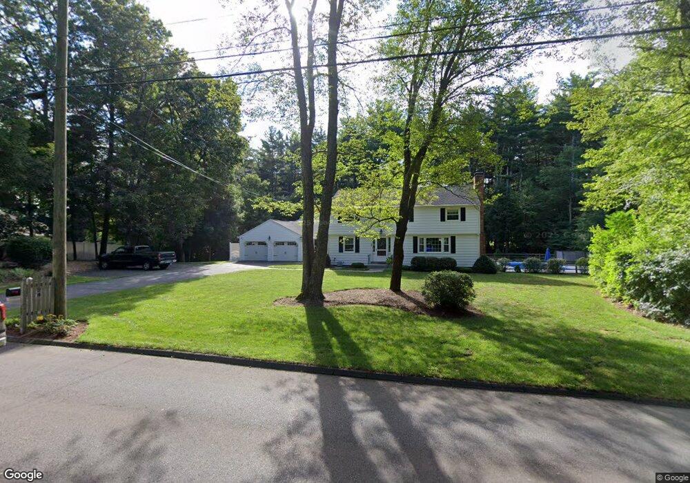
24 Old Farms Rd West Simsbury, CT 06092
Estimated Value: $527,000 - $749,000
5
Beds
4
Baths
3,488
Sq Ft
$198/Sq Ft
Est. Value
About This Home
This home is located at 24 Old Farms Rd, West Simsbury, CT 06092 and is currently estimated at $690,604, approximately $197 per square foot. 24 Old Farms Rd is a home located in Hartford County with nearby schools including Squadron Line School, Henry James Memorial School, and Simsbury High School.
Ownership History
Date
Name
Owned For
Owner Type
Purchase Details
Closed on
Jul 12, 2024
Sold by
Lebo Edward and Lebo Julie
Bought by
Lebo Julie I
Current Estimated Value
Purchase Details
Closed on
Dec 4, 2017
Sold by
Lebo Edward and Lebo Julie
Bought by
Lebo Edward and Lebo Julie
Purchase Details
Closed on
May 9, 2006
Sold by
Steele Don W and Steele Anne C
Bought by
Lebo Edward and Lebo Julie
Create a Home Valuation Report for This Property
The Home Valuation Report is an in-depth analysis detailing your home's value as well as a comparison with similar homes in the area
Home Values in the Area
Average Home Value in this Area
Purchase History
| Date | Buyer | Sale Price | Title Company |
|---|---|---|---|
| Lebo Julie I | -- | None Available | |
| Lebo Edward | -- | -- | |
| Kelly Thomas R | $3,500 | -- | |
| Lebo Edward | $320,000 | -- | |
| Kelly Thomas R | $3,500 | -- | |
| Lebo Edward | $320,000 | -- |
Source: Public Records
Mortgage History
| Date | Status | Borrower | Loan Amount |
|---|---|---|---|
| Previous Owner | Lebo Edward | $153,500 |
Source: Public Records
Tax History Compared to Growth
Tax History
| Year | Tax Paid | Tax Assessment Tax Assessment Total Assessment is a certain percentage of the fair market value that is determined by local assessors to be the total taxable value of land and additions on the property. | Land | Improvement |
|---|---|---|---|---|
| 2025 | $13,061 | $382,340 | $89,810 | $292,530 |
| 2024 | $12,605 | $378,400 | $89,790 | $288,610 |
| 2023 | $12,041 | $378,420 | $89,810 | $288,610 |
| 2022 | $10,381 | $268,730 | $89,790 | $178,940 |
| 2021 | $10,381 | $268,730 | $89,790 | $178,940 |
| 2020 | $9,967 | $268,730 | $89,790 | $178,940 |
| 2019 | $7,800 | $208,990 | $89,790 | $119,200 |
| 2018 | $7,856 | $208,990 | $89,790 | $119,200 |
| 2017 | $7,444 | $192,060 | $88,230 | $103,830 |
| 2016 | $7,129 | $192,060 | $88,230 | $103,830 |
| 2015 | $7,129 | $192,060 | $88,230 | $103,830 |
| 2014 | $7,133 | $192,060 | $88,230 | $103,830 |
Source: Public Records
Map
Nearby Homes
- 18 Meadowlark Rd
- 10 Sachems Trail
- 47 Long View Dr
- 8 Quorn Hunt Rd
- 16 Stratton Forest Way
- 143 N Mountain Rd
- 40 Firetown Rd Unit 39
- 21 Christmas Tree Hill
- 247 Old Farms Rd
- 3 Stebbins Brook Ln
- 301 Bushy Hill Rd
- 4 Stebbins Brook Ln
- 1 West St Unit 206
- 48 Library Ln Unit 48
- 23 Red Fox Run
- 25 Barry Ln
- 7 Tamarack Ln
- 15 Red Fox Run
- 15 Sand Hill Rd
- 324 Firetown Rd
- 28 Old Farms Rd
- 18 Old Farms Rd
- 7 Watson Dr
- 9 Watson Dr
- 32 Old Farms Rd
- 16 Old Farms Rd
- 5 Watson Dr
- 34 Old Farms Rd
- 11 Watson Dr
- 4 Grant Estate Dr
- 4 Grant Estate Dr Unit DRIVE
- 31 Old Farms Rd
- 10 Watson Dr
- 12 Watson Dr
- 6 Grant Estate Dr
- 3 Watson Dr
- 2 Grant Estate Dr
- 8 Watson Dr
- 14 Watson Dr
- 15 Watson Dr