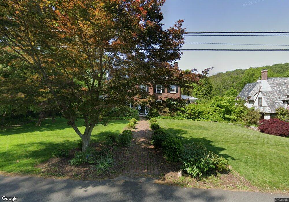
24 Old Harter Rd Morristown, NJ 07960
Estimated Value: $1,278,825 - $1,512,000
4
Beds
4
Baths
3,139
Sq Ft
$443/Sq Ft
Est. Value
About This Home
This home is located at 24 Old Harter Rd, Morristown, NJ 07960 and is currently estimated at $1,390,456, approximately $442 per square foot. 24 Old Harter Rd is a home located in Morris County with nearby schools including Hillcrest School, Thomas Jefferson School, and Alexander Hamilton School.
Ownership History
Date
Name
Owned For
Owner Type
Purchase Details
Closed on
Aug 14, 2014
Sold by
Mead Robert Hartley and Mead Irene
Bought by
Hayes Jonathan
Current Estimated Value
Home Financials for this Owner
Home Financials are based on the most recent Mortgage that was taken out on this home.
Original Mortgage
$700,000
Outstanding Balance
$523,803
Interest Rate
3.62%
Mortgage Type
Adjustable Rate Mortgage/ARM
Estimated Equity
$866,653
Purchase Details
Closed on
Dec 1, 1998
Sold by
Bradley John Michael and Bradley Joann
Bought by
Mead Robert Hartley and Mead Miyako Nabeta
Create a Home Valuation Report for This Property
The Home Valuation Report is an in-depth analysis detailing your home's value as well as a comparison with similar homes in the area
Home Values in the Area
Average Home Value in this Area
Purchase History
| Date | Buyer | Sale Price | Title Company |
|---|---|---|---|
| Hayes Jonathan | $890,000 | First Legacy Group Title & A | |
| Mead Robert Hartley | $640,000 | Chicago Title Insurance Co |
Source: Public Records
Mortgage History
| Date | Status | Borrower | Loan Amount |
|---|---|---|---|
| Open | Hayes Jonathan | $700,000 |
Source: Public Records
Tax History Compared to Growth
Tax History
| Year | Tax Paid | Tax Assessment Tax Assessment Total Assessment is a certain percentage of the fair market value that is determined by local assessors to be the total taxable value of land and additions on the property. | Land | Improvement |
|---|---|---|---|---|
| 2025 | $17,367 | $867,500 | $380,100 | $487,400 |
| 2024 | $17,393 | $867,500 | $380,100 | $487,400 |
| 2023 | $17,393 | $867,500 | $380,100 | $487,400 |
| 2022 | $16,587 | $867,500 | $380,100 | $487,400 |
| 2021 | $16,587 | $867,500 | $380,100 | $487,400 |
| 2020 | $16,153 | $867,500 | $380,100 | $487,400 |
| 2019 | $15,901 | $867,500 | $380,100 | $487,400 |
| 2018 | $15,728 | $867,500 | $380,100 | $487,400 |
| 2017 | $15,624 | $867,500 | $380,100 | $487,400 |
| 2016 | $15,381 | $867,500 | $380,100 | $487,400 |
| 2015 | $18,873 | $744,200 | $408,600 | $335,600 |
| 2014 | $18,627 | $744,200 | $408,600 | $335,600 |
Source: Public Records
Map
Nearby Homes
- 282 Mount Kemble Ave
- 4 Old Harter Rd
- 24 Spring Brook Rd
- 1 Spring Brook Rd
- 234 Mount Kemble Ave
- 237 Mount Kemble Ave
- 232 Mount Kemble Ave
- 97 Skyline Dr
- 2 Skyline Dr
- 10 Westminster Place
- 2 Blackwell Ave
- 9 Wren Ct
- 1 Twin Oaks Ln
- 6 Brookfield Way
- 194 James St
- 21 Maxwell Ct
- 26 Brookfield Way
- 43 Raven Dr
- 143 Hillcrest Ave
- 6 Ash Ln