24 Pardon Hill Rd South Dartmouth, MA 02748
Cow Yard/Nonquitt NeighborhoodEstimated Value: $1,253,000 - $1,562,649
3
Beds
5
Baths
3,155
Sq Ft
$433/Sq Ft
Est. Value
About This Home
This home is located at 24 Pardon Hill Rd, South Dartmouth, MA 02748 and is currently estimated at $1,364,883, approximately $432 per square foot. 24 Pardon Hill Rd is a home located in Bristol County with nearby schools including Dartmouth High School.
Ownership History
Date
Name
Owned For
Owner Type
Purchase Details
Closed on
Feb 21, 2023
Sold by
Dewar Mary F
Bought by
Mary F Dewar Irt
Current Estimated Value
Purchase Details
Closed on
Jun 30, 2022
Sold by
Dewar Ft
Bought by
Lesle S Dewar Ft
Purchase Details
Closed on
Oct 4, 2012
Sold by
Nelson Paul T and Dewar Mary F
Bought by
Dewar Ft
Create a Home Valuation Report for This Property
The Home Valuation Report is an in-depth analysis detailing your home's value as well as a comparison with similar homes in the area
Home Values in the Area
Average Home Value in this Area
Purchase History
| Date | Buyer | Sale Price | Title Company |
|---|---|---|---|
| Mary F Dewar Irt | -- | None Available | |
| Dewar Mary F | -- | None Available | |
| Dewar Kellie E | -- | None Available | |
| Lesle S Dewar Ft | -- | None Available | |
| Dewar Ft | -- | -- |
Source: Public Records
Tax History Compared to Growth
Tax History
| Year | Tax Paid | Tax Assessment Tax Assessment Total Assessment is a certain percentage of the fair market value that is determined by local assessors to be the total taxable value of land and additions on the property. | Land | Improvement |
|---|---|---|---|---|
| 2025 | $11,327 | $1,315,600 | $471,300 | $844,300 |
| 2024 | $11,134 | $1,281,300 | $458,400 | $822,900 |
| 2023 | $10,008 | $1,091,400 | $321,800 | $769,600 |
| 2022 | $9,041 | $913,200 | $287,700 | $625,500 |
| 2021 | $9,046 | $873,200 | $274,400 | $598,800 |
| 2020 | $8,877 | $855,200 | $260,700 | $594,500 |
| 2019 | $8,574 | $824,400 | $250,900 | $573,500 |
| 2018 | $7,994 | $780,900 | $250,900 | $530,000 |
| 2017 | $7,579 | $756,400 | $237,700 | $518,700 |
| 2016 | $7,577 | $745,800 | $233,100 | $512,700 |
| 2015 | $7,639 | $753,400 | $235,500 | $517,900 |
| 2014 | $7,360 | $720,900 | $215,000 | $505,900 |
Source: Public Records
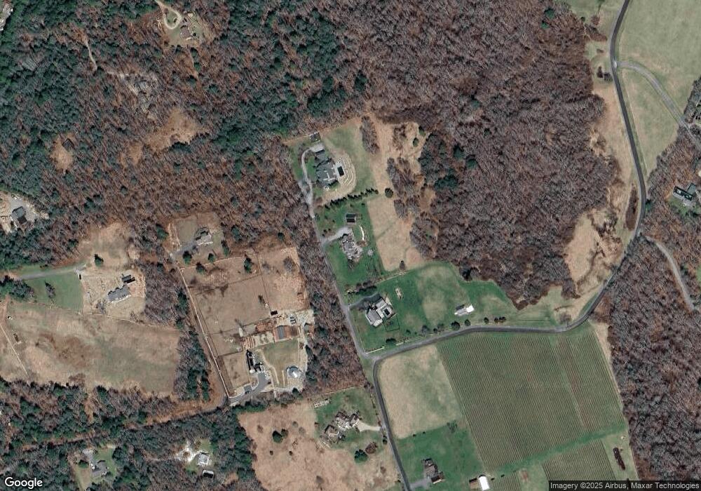
Map
Nearby Homes
- 61 Pardon Hill Rd
- Lot 1 Rafael Rd
- 24 White Alder Way
- 105 Rock Odundee Rd
- 248 Bakerville Rd
- 1150 Russells Mills Rd
- Lot 2E Horseneck Rd
- 482 Smith Neck Rd
- 738 Smith Neck Rd
- 158 Little River Rd
- 24 Eagle Dr
- 34 Country Way
- 2 Slades Farm Ln
- 332 Division Rd
- 75 Country Way Unit 75
- Lot 2 Horseneck Rd
- 12 Meadow Shores Rd
- 48 N Shore Dr Unit 3&7
- 48 N Shore Dr Unit 8
- 360 Russells Mills Rd
- 50 Pardon Hill Rd
- 10 Pardon Hill Rd
- 821 Potomska Rd
- 58 Pardon Hill Rd
- 8 Pardon Hill Rd
- 0 Pardon Hill Rd Unit 71010836
- 0 Pardon Hill Rd Unit 72523455
- 69B Hope Town Point
- 28 Cloisters at Padanaram
- 0 Withheld Unit 71308421
- 0 Withheld Unit 3 71546527
- 7 Acorn Way
- 7 Acorn Way
- 64 Pardon Hill Rd
- 554 Rock Odundee Rd
- 564 Rock Odundee Rd
- 65 Pardon Hill Rd
- 859 Potomska Rd
- 4 Lapham Ln
- 809 Potomska Rd