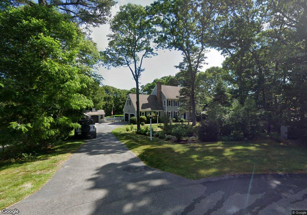
24 Parrish Way West Barnstable, MA 02668
West Barnstable NeighborhoodEstimated Value: $951,000 - $1,102,000
4
Beds
3
Baths
2,614
Sq Ft
$388/Sq Ft
Est. Value
About This Home
This home is located at 24 Parrish Way, West Barnstable, MA 02668 and is currently estimated at $1,013,874, approximately $387 per square foot. 24 Parrish Way is a home located in Barnstable County with nearby schools including West Barnstable Elementary School, Barnstable United Elementary School, and Barnstable Intermediate School.
Ownership History
Date
Name
Owned For
Owner Type
Purchase Details
Closed on
Feb 26, 2020
Sold by
Murphy John C and Murphy Diane M
Bought by
Rudolph Mark R and Rudolph Jane E
Current Estimated Value
Home Financials for this Owner
Home Financials are based on the most recent Mortgage that was taken out on this home.
Original Mortgage
$483,600
Outstanding Balance
$427,280
Interest Rate
3.6%
Mortgage Type
New Conventional
Estimated Equity
$586,594
Purchase Details
Closed on
Apr 12, 1996
Sold by
Melvin Robert R and Melvin Barbara A
Bought by
Murphy John C
Purchase Details
Closed on
Oct 31, 1991
Sold by
Jacques William F and Jacques Margaret H
Bought by
Melvin Robert R
Purchase Details
Closed on
Nov 30, 1988
Sold by
Cya Rt
Bought by
Jacques William F
Create a Home Valuation Report for This Property
The Home Valuation Report is an in-depth analysis detailing your home's value as well as a comparison with similar homes in the area
Home Values in the Area
Average Home Value in this Area
Purchase History
| Date | Buyer | Sale Price | Title Company |
|---|---|---|---|
| Rudolph Mark R | $604,500 | None Available | |
| Murphy John C | $280,000 | -- | |
| Melvin Robert R | $270,000 | -- | |
| Jacques William F | $320,000 | -- |
Source: Public Records
Mortgage History
| Date | Status | Borrower | Loan Amount |
|---|---|---|---|
| Open | Rudolph Mark R | $483,600 | |
| Previous Owner | Jacques William F | $322,000 | |
| Previous Owner | Jacques William F | $98,000 |
Source: Public Records
Tax History
| Year | Tax Paid | Tax Assessment Tax Assessment Total Assessment is a certain percentage of the fair market value that is determined by local assessors to be the total taxable value of land and additions on the property. | Land | Improvement |
|---|---|---|---|---|
| 2025 | $8,883 | $951,100 | $239,200 | $711,900 |
| 2024 | $7,864 | $916,600 | $239,200 | $677,400 |
| 2023 | $7,315 | $803,000 | $217,500 | $585,500 |
| 2022 | $7,078 | $637,100 | $149,600 | $487,500 |
| 2021 | $7,066 | $602,900 | $151,900 | $451,000 |
| 2020 | $6,490 | $535,500 | $151,900 | $383,600 |
| 2019 | $6,254 | $546,200 | $161,100 | $385,100 |
| 2018 | $6,471 | $522,300 | $187,700 | $334,600 |
| 2017 | $6,299 | $514,600 | $187,700 | $326,900 |
| 2016 | $6,113 | $509,800 | $182,900 | $326,900 |
| 2015 | $5,985 | $500,400 | $185,900 | $314,500 |
Source: Public Records
Map
Nearby Homes
- 45 Wayside Ln
- 26 Carlson Ln
- 20 Howland Ln
- 6 Harpers Hollow
- 46 Service Rd
- 53 Chase Rd
- 3 Mulberry Cir
- 2 Jillson Way
- 2 Maple Swamp Rd
- 2 Maple Swamp Rd
- 159 Great Hill Rd
- 7 Maxwell Ln
- 15 Maxwell Ln
- 29 Fish House Rd
- 46 Carleton Dr
- 566 Route 6a
- 27 White Cap Ln
- 65 Wing Blvd W
- 0 Captain Kidd Rd
- 84 White Birch Way
- 24 Parrish Way
- 23 Parrish Way
- 22 Parish Way
- 22 Parrish Way
- 10 Parrish Way
- 21 Parrish Way
- 350 Wayside Ln
- 19 Parrish Way
- 164 Lothrops Ln
- 134 Lothrops Ln
- 114 Lothrops Ln
- 163 Lothrops Ln
- 90 Bursley Path
- 98 Lothrops Ln
- 190 Lothrops Ln
- 80 Lothrops Ln
- 141 Percival Dr
- 141 Percival Dr
- 98 Lothrop's Ln
- 149 Percival Dr
Your Personal Tour Guide
Ask me questions while you tour the home.