24 Pierce Way E East Freetown, MA 02717
Estimated Value: $650,408 - $984,000
3
Beds
2
Baths
1,874
Sq Ft
$404/Sq Ft
Est. Value
About This Home
This home is located at 24 Pierce Way E, East Freetown, MA 02717 and is currently estimated at $757,852, approximately $404 per square foot. 24 Pierce Way E is a home located in Bristol County with nearby schools including Freetown Elementary School, George R Austin Intermediate School, and Freetown-Lakeville Middle School.
Ownership History
Date
Name
Owned For
Owner Type
Purchase Details
Closed on
Oct 27, 1992
Sold by
Chagnon Gerard F and Chagnon Deborah L
Bought by
Beauregard Ronald A and Beauregard Janet P
Current Estimated Value
Create a Home Valuation Report for This Property
The Home Valuation Report is an in-depth analysis detailing your home's value as well as a comparison with similar homes in the area
Home Values in the Area
Average Home Value in this Area
Purchase History
| Date | Buyer | Sale Price | Title Company |
|---|---|---|---|
| Beauregard Ronald A | $47,000 | -- |
Source: Public Records
Mortgage History
| Date | Status | Borrower | Loan Amount |
|---|---|---|---|
| Open | Beauregard Ronald A | $100,000 | |
| Closed | Beauregard Ronald A | $15,000 |
Source: Public Records
Tax History Compared to Growth
Tax History
| Year | Tax Paid | Tax Assessment Tax Assessment Total Assessment is a certain percentage of the fair market value that is determined by local assessors to be the total taxable value of land and additions on the property. | Land | Improvement |
|---|---|---|---|---|
| 2025 | $5,444 | $549,300 | $209,400 | $339,900 |
| 2024 | $5,408 | $518,500 | $197,500 | $321,000 |
| 2023 | $5,286 | $493,600 | $177,900 | $315,700 |
| 2022 | $5,039 | $417,800 | $150,700 | $267,100 |
| 2021 | $4,714 | $371,200 | $137,000 | $234,200 |
| 2020 | $4,696 | $360,700 | $131,700 | $229,000 |
| 2019 | $4,512 | $343,100 | $131,000 | $212,100 |
| 2018 | $4,273 | $321,000 | $131,000 | $190,000 |
| 2017 | $4,188 | $314,400 | $131,000 | $183,400 |
| 2016 | $3,998 | $305,400 | $127,200 | $178,200 |
| 2015 | $3,798 | $294,400 | $121,800 | $172,600 |
| 2014 | $3,731 | $295,900 | $124,600 | $171,300 |
Source: Public Records
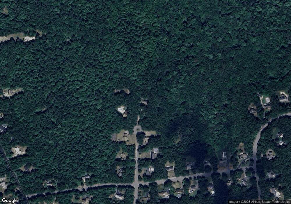
Map
Nearby Homes
- 144 Chace Rd
- 195 Slab Bridge Rd
- 0 Costa Dr
- 150 Quanapoag Rd
- Lot 2/3 Quanapoag Rd
- 599 Quanapoag Rd
- 1475 Braley Rd Unit 17
- 24 Bells Brook Rd
- 264 Collins Corner Rd
- 13 Luscomb Ln
- 4597 Acushnet Ave
- 16 Swallow St
- 111 High St
- 1069 Cherokee St
- 7 Great Cedar Crossing
- 353 Upland St
- 20 Slab Bridge Rd
- 9 Paul Ave
- 319 Northwest St
- 64 Blaze Rd