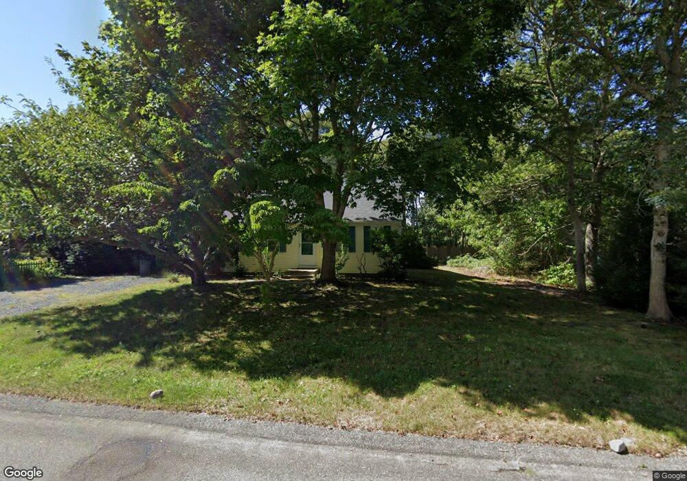
24 Plymouth Rd Yarmouth Port, MA 02675
Yarmouth Port NeighborhoodEstimated Value: $508,000 - $652,000
3
Beds
2
Baths
1,204
Sq Ft
$468/Sq Ft
Est. Value
About This Home
This home is located at 24 Plymouth Rd, Yarmouth Port, MA 02675 and is currently estimated at $563,155, approximately $467 per square foot. 24 Plymouth Rd is a home located in Barnstable County with nearby schools including Dennis-Yarmouth Regional High School and St. Pius X. School.
Ownership History
Date
Name
Owned For
Owner Type
Purchase Details
Closed on
May 28, 2009
Sold by
Towers David S and Towers Nancy B
Bought by
Towers Nancy B
Current Estimated Value
Home Financials for this Owner
Home Financials are based on the most recent Mortgage that was taken out on this home.
Original Mortgage
$156,000
Outstanding Balance
$99,093
Interest Rate
4.87%
Mortgage Type
Purchase Money Mortgage
Estimated Equity
$464,062
Purchase Details
Closed on
Mar 22, 1994
Sold by
Bay State Contract Co
Bought by
Towers David S and Towers Nancy B
Home Financials for this Owner
Home Financials are based on the most recent Mortgage that was taken out on this home.
Original Mortgage
$88,000
Interest Rate
6.9%
Mortgage Type
Purchase Money Mortgage
Create a Home Valuation Report for This Property
The Home Valuation Report is an in-depth analysis detailing your home's value as well as a comparison with similar homes in the area
Home Values in the Area
Average Home Value in this Area
Purchase History
| Date | Buyer | Sale Price | Title Company |
|---|---|---|---|
| Towers Nancy B | -- | -- | |
| Towers David S | $88,000 | -- |
Source: Public Records
Mortgage History
| Date | Status | Borrower | Loan Amount |
|---|---|---|---|
| Open | Towers Nancy B | $156,000 | |
| Previous Owner | Towers David S | $105,000 | |
| Previous Owner | Towers David S | $94,000 | |
| Previous Owner | Towers David S | $88,000 |
Source: Public Records
Tax History Compared to Growth
Tax History
| Year | Tax Paid | Tax Assessment Tax Assessment Total Assessment is a certain percentage of the fair market value that is determined by local assessors to be the total taxable value of land and additions on the property. | Land | Improvement |
|---|---|---|---|---|
| 2025 | $3,093 | $436,800 | $126,800 | $310,000 |
| 2024 | $2,914 | $394,900 | $110,300 | $284,600 |
| 2023 | $2,915 | $359,400 | $100,200 | $259,200 |
| 2022 | $2,768 | $301,500 | $95,700 | $205,800 |
| 2021 | $2,579 | $269,800 | $95,700 | $174,100 |
| 2020 | $2,563 | $256,300 | $101,300 | $155,000 |
| 2019 | $2,358 | $233,500 | $101,300 | $132,200 |
| 2018 | $2,229 | $216,600 | $84,400 | $132,200 |
| 2017 | $2,170 | $216,600 | $84,400 | $132,200 |
| 2016 | $2,094 | $209,800 | $77,600 | $132,200 |
| 2015 | $1,943 | $193,500 | $74,300 | $119,200 |
Source: Public Records
Map
Nearby Homes
- 6 Nimble Hill Dr
- 13 Covey Dr
- 59 Main St Unit 19-2
- 59 Route 6a Unit 29-4
- 111 Merchant Ave
- 44 Stratford Ln
- 51 Bray Farm Rd N
- 64 Kates Path
- 34 Kates Path
- 34 Kates Path Unit 34
- 268 Main St
- 43 Canterbury Rd
- 4 Ebb Rd
- 17 Kates Path Unit A
- 228 Kates Path
- 86 Pompano Rd
- 42 John Hall Cartway Unit 42
- 50 John Hall Cartway
- 50 John Hall Cartway Unit 50
- 153 Bayridge Dr
- 18 Plymouth Rd
- 28 Plymouth Rd
- 23 Plymouth Rd
- 19 Plymouth Rd
- 27 Plymouth Rd
- 12 Plymouth Rd
- 20 Nimble Hill Dr
- 13 Plymouth Rd
- 32 Plymouth Rd
- 34 Plymouth Rd
- 31 Plymouth Rd
- 33 Plymouth Rd
- 37 Plymouth Rd
- 8 Plymouth Rd
- 9 Plymouth Rd
- 14 Nimble Hill Dr
- 22 Nimble Hill Dr
- 0 Nimble Hill Dr
- 166 Setucket Rd
- 21 Nimble Hill Dr