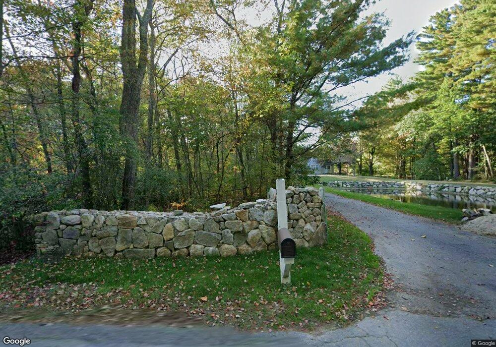
24 Pondside Dr Bolton, MA 01740
Estimated Value: $558,000 - $681,000
2
Beds
3
Baths
2,068
Sq Ft
$302/Sq Ft
Est. Value
About This Home
This home is located at 24 Pondside Dr, Bolton, MA 01740 and is currently estimated at $625,380, approximately $302 per square foot. 24 Pondside Dr is a home located in Worcester County with nearby schools including Florence Sawyer School, Nashoba Regional High School, and South Lancaster Academy.
Ownership History
Date
Name
Owned For
Owner Type
Purchase Details
Closed on
Nov 6, 2009
Sold by
Heritage Manor Dev Llc
Bought by
Oldham Thomas and Oldham Martha
Current Estimated Value
Home Financials for this Owner
Home Financials are based on the most recent Mortgage that was taken out on this home.
Original Mortgage
$310,972
Outstanding Balance
$203,674
Interest Rate
5.06%
Mortgage Type
Purchase Money Mortgage
Estimated Equity
$421,706
Create a Home Valuation Report for This Property
The Home Valuation Report is an in-depth analysis detailing your home's value as well as a comparison with similar homes in the area
Home Values in the Area
Average Home Value in this Area
Purchase History
| Date | Buyer | Sale Price | Title Company |
|---|---|---|---|
| Oldham Thomas | $345,525 | -- |
Source: Public Records
Mortgage History
| Date | Status | Borrower | Loan Amount |
|---|---|---|---|
| Open | Oldham Thomas | $310,972 |
Source: Public Records
Tax History Compared to Growth
Tax History
| Year | Tax Paid | Tax Assessment Tax Assessment Total Assessment is a certain percentage of the fair market value that is determined by local assessors to be the total taxable value of land and additions on the property. | Land | Improvement |
|---|---|---|---|---|
| 2025 | $8,875 | $534,000 | $0 | $534,000 |
| 2024 | $7,480 | $460,000 | $0 | $460,000 |
| 2023 | $8,050 | $460,000 | $0 | $460,000 |
| 2022 | $8,987 | $452,300 | $0 | $452,300 |
| 2021 | $9,037 | $433,200 | $0 | $433,200 |
| 2020 | $9,365 | $459,300 | $0 | $459,300 |
| 2019 | $8,157 | $398,500 | $0 | $398,500 |
| 2018 | $8,157 | $394,800 | $0 | $394,800 |
| 2017 | $7,876 | $371,500 | $0 | $371,500 |
| 2016 | $7,776 | $371,900 | $0 | $371,900 |
| 2015 | $7,580 | $361,300 | $0 | $361,300 |
| 2014 | $7,742 | $365,200 | $0 | $365,200 |
Source: Public Records
Map
Nearby Homes
- 11 Pondside Ln Unit 11
- 3 Pondside Ln Unit 3
- 903 Main St
- 112 Nourse Rd
- 725 Main St
- 720 Main St
- 15 Mallard Ln Unit 7
- 0 Wattaquadock Hill Rd
- 90 Harvard Rd
- 93 Vaughn Hill Rd
- 54 Main St
- 93 Fox Run Rd
- 347 Green Rd
- 601 Main St
- 47 Sugar Rd
- 3 Old Harvard Rd
- 295 Vaughn Hill Rd
- 236 Bolton Rd
- 252 Sawyer Rd
- 90 Corn Rd
- 22 Pondside Dr
- 20 Pondside Dr
- 10 Pondside Dr
- 8 Pondside Dr
- 12 Pondside Dr
- 6 Pondside Dr
- 4 Pondside Dr
- 2 Pondside Dr
- 86 Pondside Ln Unit 11
- 82 Pondside Dr Unit 13
- 28 Pondside Dr
- 26 Pondside Dr
- 26 Pondside Dr Unit 26
- 26 Pondside Dr Unit 8
- 23 Pondside Dr
- 21 Pondside Dr
- 19 Pondside Dr
- 17 Pondside Dr
- 19 Pondside Dr Unit 2
- 23 Pondside Dr Unit 4