24 Poore Rd East Boothbay, ME 04544
Estimated Value: $920,000 - $1,123,000
4
Beds
2
Baths
1,984
Sq Ft
$506/Sq Ft
Est. Value
About This Home
This home is located at 24 Poore Rd, East Boothbay, ME 04544 and is currently estimated at $1,003,004, approximately $505 per square foot. 24 Poore Rd is a home located in Lincoln County with nearby schools including Boothbay Region Elementary School and Boothbay Region High School.
Ownership History
Date
Name
Owned For
Owner Type
Purchase Details
Closed on
Jan 13, 2009
Sold by
Moroney Michelle J
Bought by
Moroney Lt
Current Estimated Value
Create a Home Valuation Report for This Property
The Home Valuation Report is an in-depth analysis detailing your home's value as well as a comparison with similar homes in the area
Home Values in the Area
Average Home Value in this Area
Purchase History
| Date | Buyer | Sale Price | Title Company |
|---|---|---|---|
| Moroney Lt | -- | -- |
Source: Public Records
Tax History Compared to Growth
Tax History
| Year | Tax Paid | Tax Assessment Tax Assessment Total Assessment is a certain percentage of the fair market value that is determined by local assessors to be the total taxable value of land and additions on the property. | Land | Improvement |
|---|---|---|---|---|
| 2024 | $6,994 | $616,171 | $438,720 | $177,451 |
| 2023 | $6,193 | $616,171 | $438,720 | $177,451 |
| 2022 | $5,730 | $616,171 | $438,720 | $177,451 |
| 2021 | $5,884 | $616,171 | $438,720 | $177,451 |
| 2020 | $5,915 | $616,171 | $438,720 | $177,451 |
| 2019 | $5,823 | $616,171 | $438,720 | $177,451 |
| 2018 | $5,730 | $616,171 | $438,720 | $177,451 |
| 2017 | $4,909 | $533,600 | $346,700 | $186,900 |
| 2016 | $4,696 | $533,600 | $346,700 | $186,900 |
| 2015 | $4,669 | $533,600 | $346,700 | $186,900 |
| 2014 | $4,536 | $533,600 | $346,700 | $186,900 |
Source: Public Records
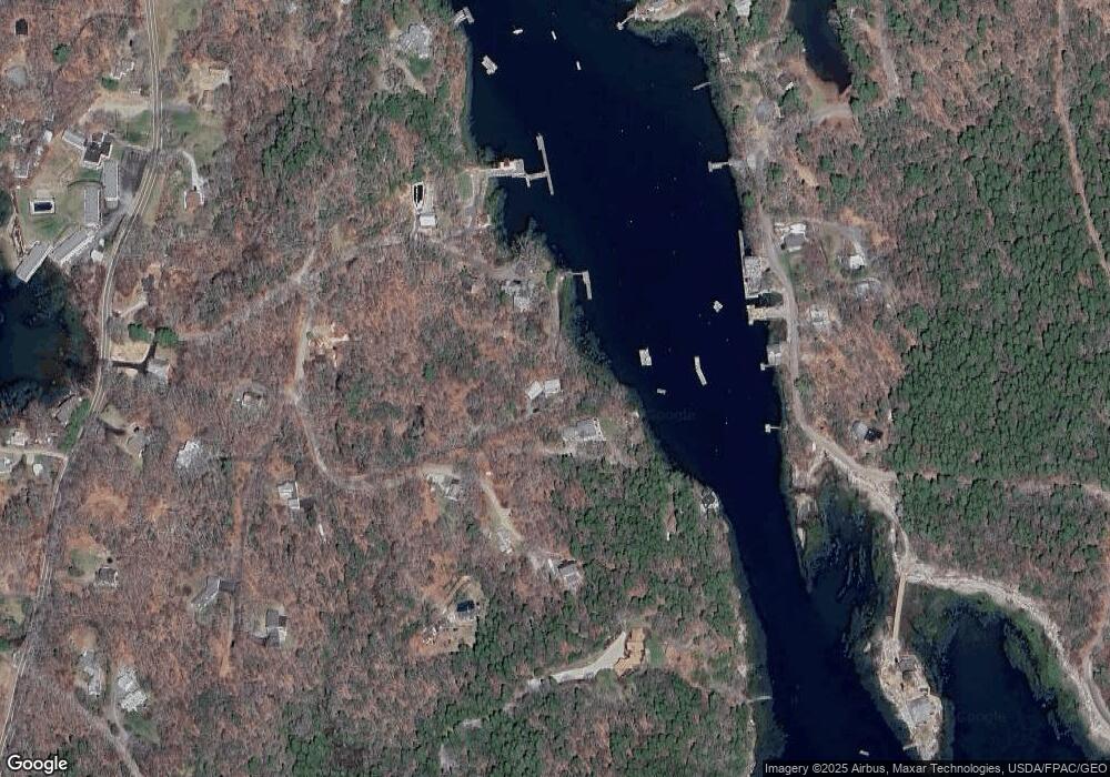
Map
Nearby Homes
- 44 King Phillips Trail
- 12 Westwind Dr
- 127 Appalachee Rd
- 74 & 76 Bay St
- 31 Bay St
- 5 Massachusetts Ave
- 58 Roads End Rd
- Lts 23A&24 Birch Island
- Birch Island
- 239 Ocean Point Rd
- 210 Ocean Point Rd
- 27 Townsend Ave
- 37 Townsend Ave
- 53 Commercial St
- 34 Townsend Ave
- 66 Townsend Ave
- 66 Townsend Avenue & 43 Oak St
- 43 Oak St
- 23 Meadow Cove Rd
- 26 Sea St
- 14 River Bank Rd
- 60 Poore Rd
- 7 Anchor Ln
- 14 Waters Edge
- 5 Anchor Ln
- 5 Anchor Ln
- 43 Poore Rd
- 33 Poore Rd
- 36 Brewer Rd
- 10 Poore Rd
- 16 Little River Ln
- 47 Poore Rd
- 0 Poore Unit 839838
- 0 Poore Unit 266627
- 0 Poore Unit 1600521
- 0 Poore Unit 309923
- 0 Poore Unit 895043
- 135 Samoset Trail
- 40 Royall Rd
- 132 Samoset Trail