24 Preston Cir Stillwater, OK 74075
Estimated Value: $214,062 - $233,000
3
Beds
2
Baths
1,505
Sq Ft
$146/Sq Ft
Est. Value
About This Home
This home is located at 24 Preston Cir, Stillwater, OK 74075 and is currently estimated at $220,266, approximately $146 per square foot. 24 Preston Cir is a home located in Payne County with nearby schools including Richmond Elementary School, Stillwater Junior High School, and Stillwater Middle School.
Ownership History
Date
Name
Owned For
Owner Type
Purchase Details
Closed on
Apr 13, 2007
Sold by
Miller Sara E
Bought by
Eastham Richard K and Eastham Rebecca S
Current Estimated Value
Home Financials for this Owner
Home Financials are based on the most recent Mortgage that was taken out on this home.
Original Mortgage
$84,500
Interest Rate
5.92%
Mortgage Type
New Conventional
Create a Home Valuation Report for This Property
The Home Valuation Report is an in-depth analysis detailing your home's value as well as a comparison with similar homes in the area
Home Values in the Area
Average Home Value in this Area
Purchase History
| Date | Buyer | Sale Price | Title Company |
|---|---|---|---|
| Eastham Richard K | $129,500 | Community Escrow & Title Co |
Source: Public Records
Mortgage History
| Date | Status | Borrower | Loan Amount |
|---|---|---|---|
| Closed | Eastham Richard K | $84,500 |
Source: Public Records
Tax History Compared to Growth
Tax History
| Year | Tax Paid | Tax Assessment Tax Assessment Total Assessment is a certain percentage of the fair market value that is determined by local assessors to be the total taxable value of land and additions on the property. | Land | Improvement |
|---|---|---|---|---|
| 2024 | $1,779 | $18,493 | $3,272 | $15,221 |
| 2023 | $1,779 | $17,955 | $3,495 | $14,460 |
| 2022 | $1,663 | $17,432 | $3,237 | $14,195 |
| 2021 | $1,679 | $16,924 | $3,420 | $13,504 |
| 2020 | $1,655 | $16,682 | $3,420 | $13,262 |
| 2019 | $1,691 | $16,682 | $3,420 | $13,262 |
| 2018 | $1,618 | $15,991 | $3,278 | $12,713 |
| 2017 | $1,449 | $14,346 | $3,420 | $10,926 |
| 2016 | $1,480 | $14,346 | $3,420 | $10,926 |
| 2015 | $1,501 | $14,346 | $3,420 | $10,926 |
| 2014 | $1,514 | $14,346 | $3,420 | $10,926 |
Source: Public Records
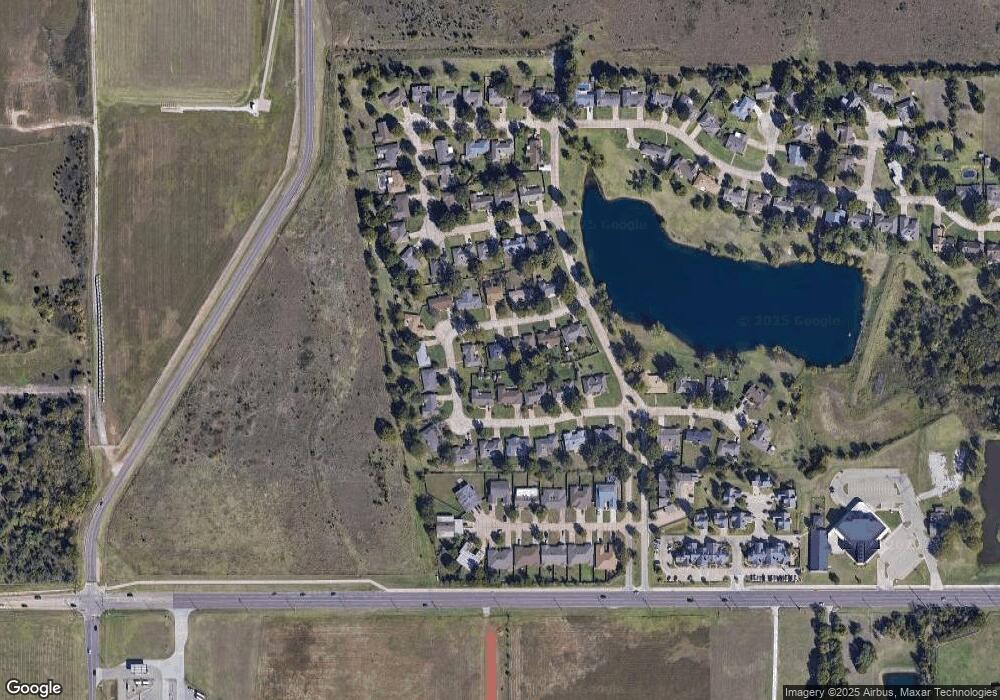
Map
Nearby Homes
- 1812 W Liberty Ave
- 3135 N Madison Ct
- 701 W Dr
- 701 W Highpoint #B Dr
- 701 W Dr
- 701 W Highpoint #G Dr
- 701 W Highpoint #F Dr
- 701 W Dr
- 701 W Highpoint Dr
- 1024 W Graham Ave
- 1199 W Airport Rd
- 1310 N Washington St
- 11 W Glencoe Rd
- 724 W Lakeshore Dr
- 1921 N Husband St
- 2718 N Crescent Dr
- 2420 N Glenwood Dr
- 2502 N Glenwood Dr
- 42 W Brentwood Dr
- 0000 N Washington St