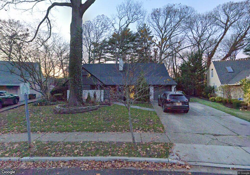
24 Range Dr Merrick, NY 11566
Estimated Value: $863,000 - $927,687
4
Beds
2
Baths
1,166
Sq Ft
$768/Sq Ft
Est. Value
About This Home
This home is located at 24 Range Dr, Merrick, NY 11566 and is currently estimated at $895,344, approximately $767 per square foot. 24 Range Dr is a home located in Nassau County with nearby schools including Merrick Avenue Middle School, Sanford H Calhoun High School, and Grace Christian Academy.
Ownership History
Date
Name
Owned For
Owner Type
Purchase Details
Closed on
Feb 24, 2017
Sold by
Dillon Martin and Dillon Susan
Bought by
Cascio Francesco and Cascio Kathleen
Current Estimated Value
Home Financials for this Owner
Home Financials are based on the most recent Mortgage that was taken out on this home.
Original Mortgage
$495,900
Outstanding Balance
$411,455
Interest Rate
4.19%
Mortgage Type
New Conventional
Estimated Equity
$483,889
Create a Home Valuation Report for This Property
The Home Valuation Report is an in-depth analysis detailing your home's value as well as a comparison with similar homes in the area
Home Values in the Area
Average Home Value in this Area
Purchase History
| Date | Buyer | Sale Price | Title Company |
|---|---|---|---|
| Cascio Francesco | $551,000 | East Coast Abstract Inc |
Source: Public Records
Mortgage History
| Date | Status | Borrower | Loan Amount |
|---|---|---|---|
| Open | Cascio Francesco | $495,900 |
Source: Public Records
Tax History
| Year | Tax Paid | Tax Assessment Tax Assessment Total Assessment is a certain percentage of the fair market value that is determined by local assessors to be the total taxable value of land and additions on the property. | Land | Improvement |
|---|---|---|---|---|
| 2025 | $16,361 | $555 | $245 | $310 |
| 2024 | $4,050 | $607 | $268 | $339 |
Source: Public Records
Map
Nearby Homes
- 138 Hewlett Ave
- 24 Loines Ave
- 18 Helene Ave
- 16 Margaret Blvd
- 19 Margaret Blvd
- 1931 Miller Place
- 70 Nancy Blvd
- 43 Wynsum Ave
- 1911 Carroll Ave
- 2203 Washington St
- 2 Garfield St
- 45 Gregory Ave
- 1811 Bedford Ave
- 1680 Lake Ave
- 163 Wynsum Ave
- 1715 Remson Ave
- 498 Farmers Ave
- 132 Webster St
- 2009 Newbridge Rd
- 7 Rutgers Place
Your Personal Tour Guide
Ask me questions while you tour the home.