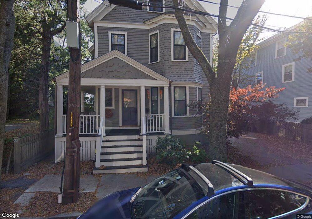
24 Regent St Cambridge, MA 02140
North Cambridge NeighborhoodEstimated Value: $2,497,000 - $3,421,000
5
Beds
4
Baths
3,355
Sq Ft
$907/Sq Ft
Est. Value
About This Home
This home is located at 24 Regent St, Cambridge, MA 02140 and is currently estimated at $3,041,490, approximately $906 per square foot. 24 Regent St is a home located in Middlesex County with nearby schools including Saint Theresa School, Cambridge Montessori School, and Wild Rose Montessori School.
Ownership History
Date
Name
Owned For
Owner Type
Purchase Details
Closed on
Mar 16, 2010
Sold by
Garvey Timothy G
Bought by
Triple Net Investments
Current Estimated Value
Purchase Details
Closed on
Sep 5, 2008
Sold by
Rumrill Clinton and Rumrill James
Bought by
Garvey Timothy G
Create a Home Valuation Report for This Property
The Home Valuation Report is an in-depth analysis detailing your home's value as well as a comparison with similar homes in the area
Home Values in the Area
Average Home Value in this Area
Purchase History
| Date | Buyer | Sale Price | Title Company |
|---|---|---|---|
| Triple Net Investments | $1,430,000 | -- | |
| Garvey Timothy G | $770,000 | -- |
Source: Public Records
Tax History
| Year | Tax Paid | Tax Assessment Tax Assessment Total Assessment is a certain percentage of the fair market value that is determined by local assessors to be the total taxable value of land and additions on the property. | Land | Improvement |
|---|---|---|---|---|
| 2025 | $18,374 | $2,893,500 | $833,000 | $2,060,500 |
| 2024 | $16,821 | $2,841,400 | $868,300 | $1,973,100 |
| 2023 | $15,428 | $2,632,800 | $888,000 | $1,744,800 |
| 2022 | $14,140 | $2,388,500 | $842,100 | $1,546,400 |
| 2021 | $13,243 | $2,263,700 | $824,200 | $1,439,500 |
| 2020 | $12,536 | $2,180,100 | $816,000 | $1,364,100 |
| 2019 | $11,859 | $1,996,400 | $708,000 | $1,288,400 |
| 2018 | $12,020 | $1,910,900 | $655,800 | $1,255,100 |
| 2017 | $11,846 | $1,825,200 | $626,000 | $1,199,200 |
| 2016 | $11,442 | $1,636,900 | $540,300 | $1,096,600 |
| 2015 | $10,997 | $1,406,300 | $424,800 | $981,500 |
| 2014 | $11,126 | $1,327,700 | $354,000 | $973,700 |
Source: Public Records
Map
Nearby Homes
- 7 Beech St Unit 319
- 7 Beech St Unit 317
- 24 Cambridge Terrace Unit 2
- 18 Upland Rd Unit 1
- 7 Russell St Unit 1
- 11 Cogswell Ave Unit 15
- 11 Cogswell Ave Unit 13
- 32-40 White St
- 40 Mount Pleasant St Unit 4
- 3 Arlington St Unit 44
- 353 Summer St Unit 310
- 178 Richdale Ave
- 20 Mossland St
- 6 Forest St
- 6 Washington Ave Unit 11
- 371 Highland Ave
- 355 Highland Ave Unit 3
- 49 Cherry St Unit 1
- 43 Linnaean St Unit 1
- 68 Winslow Ave
- 24 Regent St Unit 26
- 28 Regent St Unit 30
- 28 Regent St Unit 30
- 28 Regent St Unit 30
- 28 Regent St Unit 1
- 28 Regent St Unit 3
- 28 Regent St Unit 2
- 28 Regent St
- 28-30 Regent St Unit 1
- 28-30 Regent St Unit 2
- 34 Porter Rd
- 3 Porter Cir Unit 1
- 3 Porter Cir Unit 3
- 3 Porter Cir
- 2 Porter Cir
- 1 Porter Cir Unit 1
- 4 Porter Cir
- 4-2 Porter Cir Unit 4
- 4 Porter Cir
- 4 Porter Cir Unit 2##
Your Personal Tour Guide
Ask me questions while you tour the home.