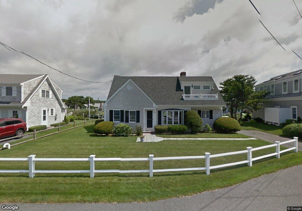
24 Riverside Way West Dennis, MA 02670
West Dennis NeighborhoodEstimated Value: $1,527,000 - $2,040,000
4
Beds
3
Baths
2,201
Sq Ft
$802/Sq Ft
Est. Value
About This Home
This home is located at 24 Riverside Way, West Dennis, MA 02670 and is currently estimated at $1,764,870, approximately $801 per square foot. 24 Riverside Way is a home located in Barnstable County with nearby schools including Dennis-Yarmouth Regional High School and St. Pius X. School.
Ownership History
Date
Name
Owned For
Owner Type
Purchase Details
Closed on
Jan 17, 2017
Sold by
Banta Jeffrey M and Banta Maura O
Bought by
Jeffrey M Banta Ft
Current Estimated Value
Purchase Details
Closed on
Dec 14, 2007
Sold by
Oconnor Charles S and Banta Jeffrey M
Bought by
Banta Jeffrey M and Banta Maura O
Home Financials for this Owner
Home Financials are based on the most recent Mortgage that was taken out on this home.
Original Mortgage
$417,000
Interest Rate
6.3%
Purchase Details
Closed on
Dec 31, 1991
Sold by
Oconnor Joseph W
Bought by
Oconnor Michael G and Oconnor Kathleen M
Home Financials for this Owner
Home Financials are based on the most recent Mortgage that was taken out on this home.
Original Mortgage
$66,500
Interest Rate
8.62%
Mortgage Type
Purchase Money Mortgage
Create a Home Valuation Report for This Property
The Home Valuation Report is an in-depth analysis detailing your home's value as well as a comparison with similar homes in the area
Home Values in the Area
Average Home Value in this Area
Purchase History
| Date | Buyer | Sale Price | Title Company |
|---|---|---|---|
| Jeffrey M Banta Ft | -- | -- | |
| Banta Jeffrey M | -- | -- | |
| Oconnor Michael G | $336,500 | -- |
Source: Public Records
Mortgage History
| Date | Status | Borrower | Loan Amount |
|---|---|---|---|
| Previous Owner | Oconnor Michael G | $292,000 | |
| Previous Owner | Oconnor Michael G | $292,000 | |
| Previous Owner | Oconnor Michael G | $350,000 | |
| Previous Owner | Banta Jeffrey M | $417,000 | |
| Previous Owner | Oconnor Michael G | $66,500 |
Source: Public Records
Tax History Compared to Growth
Tax History
| Year | Tax Paid | Tax Assessment Tax Assessment Total Assessment is a certain percentage of the fair market value that is determined by local assessors to be the total taxable value of land and additions on the property. | Land | Improvement |
|---|---|---|---|---|
| 2025 | $7,544 | $1,742,300 | $1,028,400 | $713,900 |
| 2024 | $7,353 | $1,674,900 | $989,000 | $685,900 |
| 2023 | $7,140 | $1,528,900 | $899,100 | $629,800 |
| 2022 | $5,813 | $1,038,100 | $555,400 | $482,700 |
| 2021 | $5,856 | $971,100 | $544,500 | $426,600 |
| 2020 | $5,799 | $950,600 | $544,500 | $406,100 |
| 2019 | $5,335 | $864,700 | $533,800 | $330,900 |
| 2018 | $5,672 | $894,600 | $582,300 | $312,300 |
| 2017 | $5,371 | $873,400 | $561,100 | $312,300 |
| 2016 | $5,654 | $865,900 | $608,800 | $257,100 |
| 2015 | $5,542 | $865,900 | $608,800 | $257,100 |
| 2014 | $5,317 | $837,400 | $608,800 | $228,600 |
Source: Public Records
Map
Nearby Homes
- 2 Rita Mary Way
- 181 Pleasant St
- 745 Willow St
- 14 Schoolhouse Ln
- 308 Old Main St
- 209 Main St Unit 3
- 209 Main St Unit 6
- 209 Main St Unit 1
- 209 Main St Unit 2
- 209 Main St Unit 4
- 209 Main St Unit 5
- 178 School St
- 17 South St
- 23 Doric Ave
- 45 Seth Ln
- 40 Kelley Rd
- 22 Powhatan Rd
- 4 Braddock St
- 9 Cedar St
- 9 Victory Ln
- 20 Riverside Way
- 31 Riverside Way
- 28 Riverside Way
- 33 Riverside Way
- 18 Riverside Way
- 23 Riverside Way
- 25 Captain Keavy Way
- 19 Riverside Way
- 21 Captain Keavy Way
- 21 Captain Keavy Way
- 17 Captain Keavy Way
- 0 Riverside Way
- 14 Riverside Way
- 29 Captain Keavy Way
- 15 Captain Keavy Way
- 15 Riverside Way
- 10 Riverside Way
- 11 Captain Keavy Way
- 26 Captain Keavy Way
- 22 Captain Keavy Way