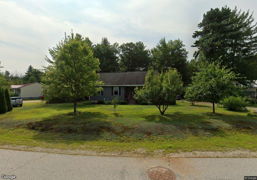
24 Robert Morrell Dr Conway, NH 03818
Estimated Value: $399,000 - $442,000
About This Home
This home is located at 24 Robert Morrell Dr, Conway, NH 03818 and is currently estimated at $420,251, approximately $357 per square foot. 24 Robert Morrell Dr is a home with nearby schools including A. Crosby Kennett Middle School, Kennett High School, and Robert Frost Charter School.
Ownership History
We collect this data history from publicly available records. To have your information removed, we recommend requesting removal directly through your county’s website.
Purchase Details
Purchase Details
Home Financials for this Owner
Home Financials are based on the most recent Mortgage that was taken out on this home.Home Values in the Area
Average Home Value in this Area
Purchase History
We collect this data history from publicly available records. To have your information removed, we recommend requesting removal directly through your county’s website.
| Date | Buyer | Sale Price | Title Company |
|---|---|---|---|
| -- | -- | ||
| $108,000 | -- |
Mortgage History
We collect this data history from publicly available records. To have your information removed, we recommend requesting removal directly through your county’s website.
| Date | Status | Borrower | Loan Amount |
|---|---|---|---|
| Previous Owner | $93,000 |
Tax History
We collect this data history from publicly available records. To have your information removed, we recommend requesting removal directly through your county’s website.
| Year | Tax Paid | Tax Assessment Tax Assessment Total Assessment is a certain percentage of the fair market value that is determined by local assessors to be the total taxable value of land and additions on the property. | Land | Improvement |
|---|---|---|---|---|
| 2025 | $4,396 | $354,500 | $102,600 | $251,900 |
| 2024 | $4,555 | $354,500 | $102,600 | $251,900 |
| 2023 | $4,226 | $354,500 | $102,600 | $251,900 |
| 2022 | $3,069 | $157,700 | $60,000 | $97,700 |
| 2021 | $2,577 | $157,700 | $60,000 | $97,700 |
| 2020 | $2,895 | $157,700 | $60,000 | $97,700 |
| 2019 | $2,731 | $157,700 | $60,000 | $97,700 |
| 2018 | $3,074 | $141,400 | $60,000 | $81,400 |
| 2017 | $2,825 | $141,400 | $60,000 | $81,400 |
| 2016 | $2,730 | $141,400 | $60,000 | $81,400 |
| 2015 | $2,699 | $141,400 | $60,000 | $81,400 |
| 2014 | $2,667 | $141,400 | $60,000 | $81,400 |
| 2013 | $2,674 | $149,700 | $60,000 | $89,700 |
Map
- 106 Fairview Ave
- 113 Oxbow Ln
- Map 264 Lot 65 Oxbow Ln
- 123 Oxbow Ln
- 47 Oxbow Ln
- 80 Bald Hill Rd
- 51 Pequawket Dr
- 177 Quint St
- Lot 42,43,44,49 G St
- 140 Sidetrack Rd
- 00 Grandview Rd
- 00 Grandview Rd Unit 4
- 0 Brookside St Unit 33+27.1(part)
- 00 Brookside St Unit 34+27.1(part)
- 00 C St Unit 51
- 83 Tabor Cir
- 00 B St Unit 58
- 00 B St Unit 63
- 00 B St Unit 62
- 00 B St Unit 60
- 35 Robert Morrell Dr
- 21 Robert Morrell Dr
- 32 Robert Morrell Dr
- 51 Robert Morrell Dr
- 5 Robert Morrell Dr
- 4 Robert Morrell Dr
- 61 Robert Morrell Dr
- 112 New Hampshire 112
- 65 Robert Morrell Dr
- 46 Robert Morrell Dr
- 1 Old Cutler Kancamagus Hwy
- 1 Old Cutler and Kancamagus Hwy
- 66 Robert Morrell Dr
- 148 Kancamangus Hwy
- 51 Butternut Ln
- 135 Kancamangus Hwy
- 49 Butternut Ln
- 128 Kancamagus Hwy
- 117 Kancamangus Hwy
- 117 Kancamagus Hwy
Ask me questions while you tour the home.