24 Roger Wayne Dr Stafford, VA 22554
Aquia Harbour NeighborhoodEstimated Value: $708,889 - $818,000
4
Beds
6
Baths
3,191
Sq Ft
$238/Sq Ft
Est. Value
About This Home
This home is located at 24 Roger Wayne Dr, Stafford, VA 22554 and is currently estimated at $760,722, approximately $238 per square foot. 24 Roger Wayne Dr is a home located in Stafford County with nearby schools including Widewater Elementary School, Shirley C. Heim Middle School, and Brooke Point High School.
Ownership History
Date
Name
Owned For
Owner Type
Purchase Details
Closed on
Mar 4, 2010
Sold by
Brookes Keith
Bought by
Brookes Keith
Current Estimated Value
Purchase Details
Closed on
Jul 7, 2004
Sold by
Gum Richard
Bought by
Brookes Keith
Home Financials for this Owner
Home Financials are based on the most recent Mortgage that was taken out on this home.
Original Mortgage
$400,000
Interest Rate
6.32%
Mortgage Type
New Conventional
Purchase Details
Closed on
Apr 11, 2003
Sold by
Dreano Frank
Bought by
Gum Richard
Create a Home Valuation Report for This Property
The Home Valuation Report is an in-depth analysis detailing your home's value as well as a comparison with similar homes in the area
Home Values in the Area
Average Home Value in this Area
Purchase History
| Date | Buyer | Sale Price | Title Company |
|---|---|---|---|
| Brookes Keith | -- | -- | |
| Brookes Keith | $524,000 | -- | |
| Gum Richard | $35,000 | -- |
Source: Public Records
Mortgage History
| Date | Status | Borrower | Loan Amount |
|---|---|---|---|
| Previous Owner | Brookes Keith | $400,000 |
Source: Public Records
Tax History Compared to Growth
Tax History
| Year | Tax Paid | Tax Assessment Tax Assessment Total Assessment is a certain percentage of the fair market value that is determined by local assessors to be the total taxable value of land and additions on the property. | Land | Improvement |
|---|---|---|---|---|
| 2025 | $5,409 | $596,600 | $115,000 | $481,600 |
| 2024 | $5,409 | $596,600 | $115,000 | $481,600 |
| 2023 | $5,363 | $567,500 | $80,000 | $487,500 |
| 2022 | $4,824 | $567,500 | $80,000 | $487,500 |
| 2021 | $4,915 | $506,700 | $80,000 | $426,700 |
| 2020 | $4,915 | $506,700 | $80,000 | $426,700 |
| 2019 | $4,784 | $473,700 | $80,000 | $393,700 |
| 2018 | $4,690 | $473,700 | $80,000 | $393,700 |
| 2017 | $4,690 | $473,700 | $80,000 | $393,700 |
| 2016 | $4,690 | $473,700 | $80,000 | $393,700 |
| 2015 | -- | $437,700 | $80,000 | $357,700 |
| 2014 | -- | $437,700 | $80,000 | $357,700 |
Source: Public Records
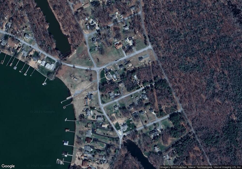
Map
Nearby Homes
- 0 Shore Dr
- Lot 6 Shady Cove Ln
- 61 Aquia Creek Rd
- 93 Brooke Crest Ln
- 65 Brooke Crest Ln
- 53 Brooke Crest Ln
- 129 Sentinel Ridge Ln
- 45 Dinas Way
- 100 Aquia Bay Ave
- 78 Canterbury Dr
- 70 Sentinel Ridge Ln
- 3 Bowling Ct
- 00 Running Brook Ct Lot 139
- 45 Twin Hill Ln
- 58 Twin Hill Ln
- 2225 Camp Geary Ln
- 9 Doyle Place
- 158 Canterbury Dr
- 121 Marlborough Point Rd
- 26 Sentinel Ridge Ln
- 28 Rogers Ln
- 28 Roger Wayne Dr
- 14 Roger Wayne Dr
- 19 Woodrow Dr
- 321 Rock Raymond Dr
- 3 Shore Dr
- 15 Woodrow Dr
- 21 Roger Wayne Dr
- 27 Roger Wayne Dr
- 19 Roger Wayne Dr
- 11 Woodrow Dr
- 15 Roger Wayne Dr
- 0 Roger Ln Unit 1004062892
- 0 Roger Wayne Dr Unit VAST2002480
- 10 Roger Wayne Dr
- 0 Roger Wayne Dr
- 20 Sandy Ln
- 22 Sandy Ln
- 12 Shore Dr
- 12 Woodrow Dr