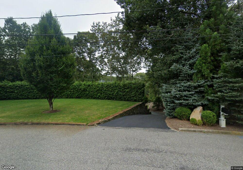
24 Rolling Hill Ct E Sag Harbor, NY 11963
Estimated Value: $2,218,000 - $2,307,000
3
Beds
3
Baths
2,142
Sq Ft
$1,054/Sq Ft
Est. Value
About This Home
This home is located at 24 Rolling Hill Ct E, Sag Harbor, NY 11963 and is currently estimated at $2,258,371, approximately $1,054 per square foot. 24 Rolling Hill Ct E is a home located in Suffolk County with nearby schools including Sag Harbor Elementary School, Pierson Middle/High School, and Ross Lower School.
Ownership History
Date
Name
Owned For
Owner Type
Purchase Details
Closed on
May 15, 2002
Sold by
Morgan Anne I
Bought by
Farcas Aurel
Current Estimated Value
Home Financials for this Owner
Home Financials are based on the most recent Mortgage that was taken out on this home.
Original Mortgage
$180,000
Outstanding Balance
$75,365
Interest Rate
6.81%
Estimated Equity
$2,183,006
Purchase Details
Closed on
Jan 8, 1998
Sold by
Cavaliere Ralph and Cavaliere Ann
Bought by
Morgan Anne I and Farcas Aurel
Home Financials for this Owner
Home Financials are based on the most recent Mortgage that was taken out on this home.
Original Mortgage
$50,000
Interest Rate
7.11%
Mortgage Type
Balloon
Create a Home Valuation Report for This Property
The Home Valuation Report is an in-depth analysis detailing your home's value as well as a comparison with similar homes in the area
Home Values in the Area
Average Home Value in this Area
Purchase History
| Date | Buyer | Sale Price | Title Company |
|---|---|---|---|
| Farcas Aurel | $228,500 | Commonwealth Land Title Ins | |
| Morgan Anne I | $75,000 | Commonwealth Land Title Ins |
Source: Public Records
Mortgage History
| Date | Status | Borrower | Loan Amount |
|---|---|---|---|
| Open | Farcas Aurel | $180,000 | |
| Previous Owner | Morgan Anne I | $50,000 |
Source: Public Records
Tax History
| Year | Tax Paid | Tax Assessment Tax Assessment Total Assessment is a certain percentage of the fair market value that is determined by local assessors to be the total taxable value of land and additions on the property. | Land | Improvement |
|---|---|---|---|---|
| 2024 | -- | $1,216,700 | $704,200 | $512,500 |
| 2023 | -- | $1,216,700 | $704,200 | $512,500 |
| 2022 | $6,568 | $1,216,700 | $704,200 | $512,500 |
| 2021 | $6,568 | $1,216,700 | $704,200 | $512,500 |
| 2020 | $8,068 | $1,216,700 | $704,200 | $512,500 |
| 2019 | $8,068 | $0 | $0 | $0 |
| 2018 | -- | $924,600 | $519,500 | $405,100 |
| 2017 | $6,573 | $924,600 | $519,500 | $405,100 |
| 2016 | $6,785 | $924,600 | $519,500 | $405,100 |
| 2015 | -- | $873,200 | $490,600 | $382,600 |
| 2014 | -- | $873,200 | $490,600 | $382,600 |
Source: Public Records
Map
Nearby Homes
- 14 Margaret Dr
- 59 Highview Dr
- 45 Harbor Watch Ct
- 48 Island View Dr W
- 64 Island View Dr W
- 4108 Noyack Rd
- 7 Sims Ave
- 4528 Noyac Rd
- 4529 Noyac Rd
- 3748 Noyac Rd
- 210 Redwood Rd
- 15 Laurel Ln
- 19 Wickatuck Dr
- 221 Redwood Rd
- 1350 Brick Kiln Rd
- 3645 Noyac Rd
- 73 Laurel Ln
- 33 Whalers Dr
- 1363 Brick Kiln Rd
- 352 Main St
- 30 Rolling Hill Ct E
- 20 Rolling Hill Ct E
- 25 Margaret Dr
- 29 Margaret Dr
- 34 Rolling Hill Ct W
- 35 Margaret Dr
- 34 Rolling Hill Ct E
- 21 Rolling Hill Ct E
- 21 Margaret Dr
- 14 Rolling Hill Ct E
- 11 Rolling Hill Ct E
- 27 Rolling Hill Ct E
- 40 Rolling Hill Ct E
- 25 Stanford Ct
- 15 Margaret Dr
- 39 Margaret Dr
- 28 Margaret Dr
- 10 Rolling Hill Ct E
- 53 Highview Dr
- 20 Margaret Dr