24 Sampson Pkwy Pittsfield, MA 01201
Estimated Value: $316,000 - $367,000
3
Beds
1
Bath
1,401
Sq Ft
$244/Sq Ft
Est. Value
About This Home
This home is located at 24 Sampson Pkwy, Pittsfield, MA 01201 and is currently estimated at $341,178, approximately $243 per square foot. 24 Sampson Pkwy is a home located in Berkshire County with nearby schools including Egremont Elementary School, Theodore Herberg Middle School, and Pittsfield High School.
Ownership History
Date
Name
Owned For
Owner Type
Purchase Details
Closed on
Jun 11, 1993
Sold by
Chazey William J and Cashman Patricia A
Bought by
Widitor Peter E and Widitor Melissa J
Current Estimated Value
Home Financials for this Owner
Home Financials are based on the most recent Mortgage that was taken out on this home.
Original Mortgage
$77,600
Interest Rate
7.41%
Mortgage Type
Purchase Money Mortgage
Create a Home Valuation Report for This Property
The Home Valuation Report is an in-depth analysis detailing your home's value as well as a comparison with similar homes in the area
Home Values in the Area
Average Home Value in this Area
Purchase History
| Date | Buyer | Sale Price | Title Company |
|---|---|---|---|
| Widitor Peter E | $97,000 | -- |
Source: Public Records
Mortgage History
| Date | Status | Borrower | Loan Amount |
|---|---|---|---|
| Open | Widitor Peter E | $150,000 | |
| Closed | Widitor Peter E | $77,600 |
Source: Public Records
Tax History Compared to Growth
Tax History
| Year | Tax Paid | Tax Assessment Tax Assessment Total Assessment is a certain percentage of the fair market value that is determined by local assessors to be the total taxable value of land and additions on the property. | Land | Improvement |
|---|---|---|---|---|
| 2025 | $5,705 | $318,000 | $90,300 | $227,700 |
| 2024 | $5,636 | $305,500 | $90,300 | $215,200 |
| 2023 | $5,056 | $276,000 | $80,300 | $195,700 |
| 2022 | $4,597 | $247,700 | $75,300 | $172,400 |
| 2021 | $4,237 | $220,100 | $75,300 | $144,800 |
| 2020 | $4,240 | $215,100 | $75,300 | $139,800 |
| 2019 | $3,948 | $203,300 | $70,300 | $133,000 |
| 2018 | $3,968 | $198,300 | $70,300 | $128,000 |
| 2017 | $3,702 | $188,600 | $65,300 | $123,300 |
| 2016 | $3,489 | $186,000 | $65,300 | $120,700 |
| 2015 | $3,359 | $186,000 | $65,300 | $120,700 |
Source: Public Records
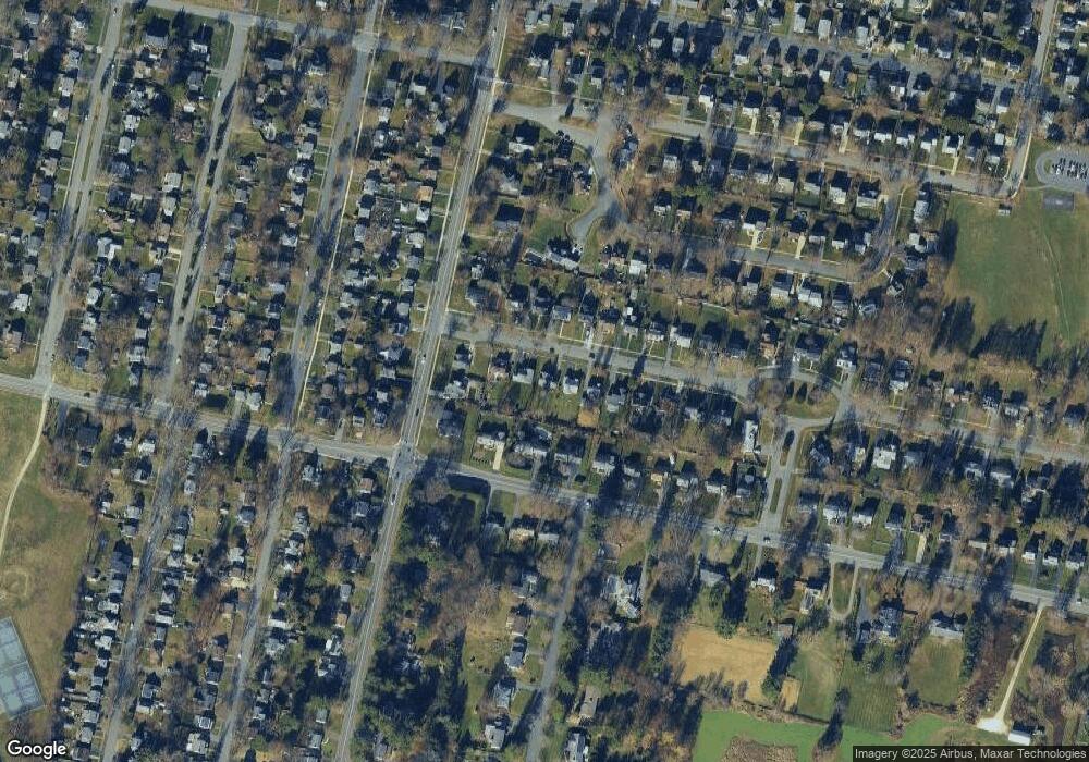
Map
Nearby Homes
- 40 Sampson Pkwy
- 11 Sampson Pkwy
- 16 Revere Pkwy
- 106 Sampson Pkwy
- 39 Lexington Pkwy
- 31 Lexington Pkwy
- 99 Cambridge Ave
- 66 Holmes Rd
- 51 Foote Ave
- 206 Dawes Ave
- 381 Williams St
- 75 Livingston Ave
- 81 Northumberland Rd
- 20 Marshall Ave
- 25 Putnam Ave
- 38 Northumberland Rd
- 168 Elm St
- 49 Revilla Terrace
- 30 Belvidere Ave
- 25 E New Lenox Rd
- 30 Sampson Pkwy
- 18 Sampson Pkwy
- 34 Sampson Pkwy
- 12 Sampson Pkwy
- 231 Williams St
- 239 Williams St
- 8 Sampson Pkwy
- 25 Sampson Pkwy
- 4 Sampson Pkwy
- 167 Holmes Rd
- 247 Williams St
- 19 Sampson Pkwy
- 29 Sampson Pkwy
- 44 Sampson Pkwy
- 33 Sampson Pkwy
- 171 Holmes Rd
- 37 Sampson Pkwy
- 253 Williams St
- 5 Sampson Pkwy
- 50 Sampson Pkwy