24 Scott Dr Bristol, NH 03222
Estimated Value: $541,000 - $583,000
About This Home
This home is located at 24 Scott Dr, Bristol, NH 03222 and is currently estimated at $567,504, approximately $375 per square foot. 24 Scott Dr is a home with nearby schools including Bridgewater-Hebron Village School.
Ownership History
We collect this data history from publicly available records. To have your information removed, we recommend requesting removal directly through your county’s website.
Purchase Details
Home Values in the Area
Average Home Value in this Area
Purchase History
We collect this data history from publicly available records. To have your information removed, we recommend requesting removal directly through your county’s website.
| Date | Buyer | Sale Price | Title Company |
|---|---|---|---|
| -- | -- |
Mortgage History
We collect this data history from publicly available records. To have your information removed, we recommend requesting removal directly through your county’s website.
| Date | Status | Borrower | Loan Amount |
|---|---|---|---|
| Previous Owner | $35,000 |
Tax History
We collect this data history from publicly available records. To have your information removed, we recommend requesting removal directly through your county’s website.
| Year | Tax Paid | Tax Assessment Tax Assessment Total Assessment is a certain percentage of the fair market value that is determined by local assessors to be the total taxable value of land and additions on the property. | Land | Improvement |
|---|---|---|---|---|
| 2025 | $3,169 | $499,100 | $194,200 | $304,900 |
| 2024 | $2,695 | $499,100 | $194,200 | $304,900 |
| 2023 | $2,817 | $349,500 | $153,300 | $196,200 |
| 2022 | $2,887 | $349,500 | $153,300 | $196,200 |
| 2021 | $2,890 | $349,400 | $153,300 | $196,100 |
| 2020 | $2,928 | $349,400 | $153,300 | $196,100 |
| 2019 | $2,662 | $272,700 | $122,600 | $150,100 |
| 2018 | $5,245 | $272,700 | $122,600 | $150,100 |
| 2017 | $2,623 | $272,700 | $122,600 | $150,100 |
| 2016 | $2,572 | $272,700 | $122,600 | $150,100 |
| 2015 | $2,614 | $268,700 | $122,600 | $146,100 |
| 2014 | $2,507 | $268,700 | $122,600 | $146,100 |
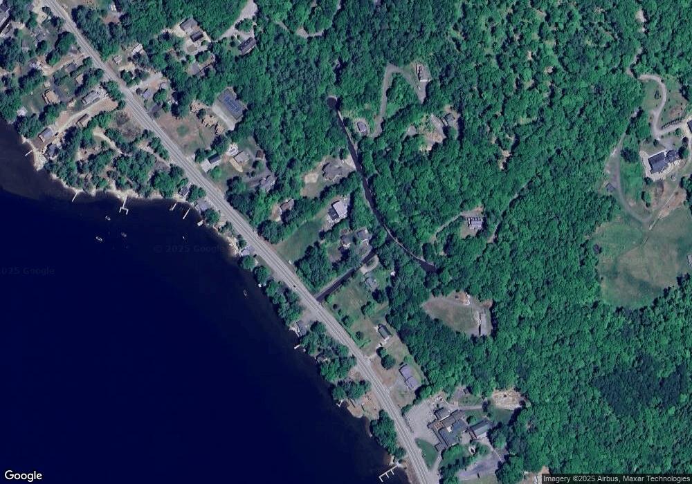
Map
- 862 Mayhew Turnpike Unit 1
- 862 Mayhew Turnpike Unit 13
- 184 Birch Hill Rd
- 114 Shore Dr N
- 241 Shore Dr N
- 620 Poole Hill Rd
- 1850 Dick Brown Rd
- 94 Mandi Ln
- 81 Wulamat Rd Unit 32
- 998 W Shore Rd
- 35 King Arthur Ln
- 711 W Shore Rd
- 60 Wellington Village Dr Unit 5
- 139 Ledgeview Shore Dr
- 17 Village West Dr Unit 11
- 21 Village West Dr Unit 15
- 26 Don Gerry Rd
- 0 Ledgewood Cir Unit HS09
- 450 Upper Birch Dr
- 25 Mayhew Turnpike
- 21 Scott Dr
- 5 Chrisden
- 10 Chrisden Dr
- Lot 10 Chrisden Dr
- 0 Chrisden Dr Unit 5
- 47 Chrisden Dr
- 1096 Mayhew Turnpike
- 1111 Mayhew Turnpike
- 1074 Mayhew Turnpike
- 1131 Mayhew Turnpike
- 1198 Mayhew # 9 Turnpike Unit 9
- 60 Chrisden Dr
- 82 Chrisden Dr
- 1158 Mayhew Turnpike
- 1121 Mayhew Turnpike
- 59 Chrisden Dr
- 1162 Mayhew Turnpike
- 32 Rankin Rd
- 4 Chrisden Dr
- 54 Chrisden Dr
Ask me questions while you tour the home.