24 Sensame Ln Bridgton, ME 04009
Estimated Value: $577,000
--
Bed
--
Bath
1,176
Sq Ft
$491/Sq Ft
Est. Value
About This Home
This home is located at 24 Sensame Ln, Bridgton, ME 04009 and is currently estimated at $577,000, approximately $490 per square foot. 24 Sensame Ln is a home with nearby schools including Lake Region High School.
Ownership History
Date
Name
Owned For
Owner Type
Purchase Details
Closed on
Mar 11, 2019
Sold by
Richardson Thomas A
Bought by
Thomas A Richardson Ft and Richardson
Current Estimated Value
Purchase Details
Closed on
Aug 9, 2006
Sold by
Dillon David and Dillon Pamela J
Bought by
Richardson Thomas A
Home Financials for this Owner
Home Financials are based on the most recent Mortgage that was taken out on this home.
Original Mortgage
$690,000
Outstanding Balance
$410,861
Interest Rate
6.8%
Mortgage Type
Purchase Money Mortgage
Estimated Equity
$166,139
Create a Home Valuation Report for This Property
The Home Valuation Report is an in-depth analysis detailing your home's value as well as a comparison with similar homes in the area
Home Values in the Area
Average Home Value in this Area
Purchase History
| Date | Buyer | Sale Price | Title Company |
|---|---|---|---|
| Thomas A Richardson Ft | -- | -- | |
| Thomas A Richardson Ft | -- | -- | |
| Richardson Thomas A | -- | -- | |
| Richardson Thomas A | -- | -- | |
| Richardson Thomas A | -- | -- |
Source: Public Records
Mortgage History
| Date | Status | Borrower | Loan Amount |
|---|---|---|---|
| Open | Richardson Thomas A | $690,000 | |
| Closed | Richardson Thomas A | $690,000 |
Source: Public Records
Tax History Compared to Growth
Tax History
| Year | Tax Paid | Tax Assessment Tax Assessment Total Assessment is a certain percentage of the fair market value that is determined by local assessors to be the total taxable value of land and additions on the property. | Land | Improvement |
|---|---|---|---|---|
| 2024 | $11,338 | $664,963 | $449,205 | $215,758 |
| 2023 | $11,437 | $664,963 | $449,205 | $215,758 |
| 2022 | $10,107 | $664,963 | $449,205 | $215,758 |
| 2021 | $9,841 | $664,963 | $449,205 | $215,758 |
| 2020 | $9,941 | $664,963 | $449,205 | $215,758 |
| 2019 | $9,974 | $664,963 | $449,205 | $215,758 |
| 2018 | $9,841 | $664,963 | $449,205 | $215,758 |
| 2017 | $10,174 | $664,963 | $449,205 | $215,758 |
| 2016 | $9,875 | $664,963 | $449,205 | $215,758 |
| 2015 | $9,410 | $684,389 | $447,914 | $236,475 |
| 2014 | $9,623 | $684,389 | $447,914 | $236,475 |
Source: Public Records
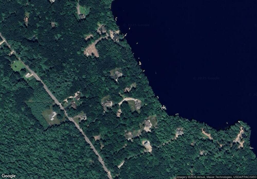
Map
Nearby Homes
- 364 Kansas Rd
- 27 Stonehedge Dr
- Lot 3 Camp Woodlands Rd
- Lot 1 Camp Woodlands Rd
- Lot 7 Camp Loop Rd
- Lot 8 Camp Loop Rd
- 11 Camp Loop Ln
- 64-74 Portland Rd
- 323 Portland Rd
- 236 Portland Rd Unit A
- 209 Portland Rd
- 70 Plummers Landing Rd
- 987 Naples Rd
- 6 School St
- 4 C St
- 3 A St
- 220 S High St
- Lot 23 G Smally Way
- 86 Beaver Creek Farm Rd
- Lot 23 - D Smally Way
- 332 Kansas Rd
- 14 Sensame Ln
- 25 Sensame Ln
- 1 Sensame Ln
- 46B Sensame Ln
- 340 Kansas Rd
- 318 Kansas Rd
- 334 Kansas Rd
- Lot A 00 Kansas Rd
- 464 Kansas Rd
- 39 Eagle Shore Way
- 331 Kansas Rd
- 35 Sandy Cove Rd
- 10 Blackberry Ridge
- Lot 39-21 Kansas Rd
- 0 Kansas Rd Lot #1
- Lot A Kansas Rd
- 311 Kansas Rd
- 14 Sunrise Shore
- 11 Blackberry Ridge