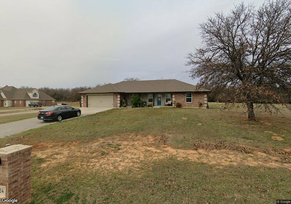
24 Shady Grove Rd McLoud, OK 74851
Estimated Value: $241,000 - $326,000
3
Beds
2
Baths
1,850
Sq Ft
$157/Sq Ft
Est. Value
About This Home
This home is located at 24 Shady Grove Rd, McLoud, OK 74851 and is currently estimated at $290,795, approximately $157 per square foot. 24 Shady Grove Rd is a home with nearby schools including McLoud Intermediate School, McLoud Elementary School, and McLoud Junior High School.
Ownership History
Date
Name
Owned For
Owner Type
Purchase Details
Closed on
Aug 23, 2016
Sold by
Coley Sharon R and Coley David
Bought by
Beall David K and Beall Pamela D
Current Estimated Value
Home Financials for this Owner
Home Financials are based on the most recent Mortgage that was taken out on this home.
Original Mortgage
$154,850
Interest Rate
3.42%
Mortgage Type
Construction
Purchase Details
Closed on
Dec 29, 1995
Sold by
The Bank Of Commerce
Bought by
Coley David
Create a Home Valuation Report for This Property
The Home Valuation Report is an in-depth analysis detailing your home's value as well as a comparison with similar homes in the area
Home Values in the Area
Average Home Value in this Area
Purchase History
| Date | Buyer | Sale Price | Title Company |
|---|---|---|---|
| Beall David K | $13,000 | First American | |
| Coley David | -- | -- |
Source: Public Records
Mortgage History
| Date | Status | Borrower | Loan Amount |
|---|---|---|---|
| Closed | Beall David K | $154,850 |
Source: Public Records
Tax History
| Year | Tax Paid | Tax Assessment Tax Assessment Total Assessment is a certain percentage of the fair market value that is determined by local assessors to be the total taxable value of land and additions on the property. | Land | Improvement |
|---|---|---|---|---|
| 2025 | $1,722 | $19,716 | $1,737 | $17,979 |
| 2024 | $1,626 | $18,777 | $1,654 | $17,123 |
| 2023 | $1,626 | $17,883 | $1,560 | $16,323 |
| 2022 | $1,648 | $17,883 | $1,560 | $16,323 |
| 2021 | $2,143 | $17,883 | $1,560 | $16,323 |
| 2020 | $1,665 | $18,051 | $1,560 | $16,491 |
| 2019 | $1,811 | $19,034 | $1,560 | $17,474 |
| 2018 | $1,940 | $19,210 | $1,560 | $17,650 |
| 2017 | $160 | $1,560 | $1,560 | $0 |
| 2016 | $53 | $583 | $583 | $0 |
| 2015 | $47 | $556 | $556 | $0 |
| 2014 | $47 | $529 | $529 | $0 |
Source: Public Records
Map
Nearby Homes
- 3129 Janet Ln Unit HAR
- 29805 SE 29th St
- 29353 Oklahoma St
- 113 Summer Oaks Dr
- 22072 Melissa Ln
- 0 S Pottawatomie Rd
- 3856 Ada Ave
- 3872 Ada Ave
- 3881 Ada Ave
- 3864 Louthea Ln
- 29049 Oilfield Trash Rd
- 10116 SE Pennington St
- 3128 Pennington St
- 3144 Pennington St
- 3140 Pennington St
- 3120 Pennington St
- 3136 Pennington St
- 3132 Pennington St
- 3116 Pennington St
- 3112 Pennington St
- 22 Shady Grove Rd
- 26 Shady Grove Rd
- 34 Shady Grove Rd Unit MCL
- 23 Shady Grove Rd
- 32 Shady Grove Rd
- 30 Shady Grove Rd
- 33 Shady Grove Rd
- 22600 Janet Ln Unit HAR
- 40 Shady Grove Rd
- 44 Shady Grove Rd
- 3768 Bingham Dr
- 3828 Bingham Dr
- 3828 Bingham Dr
- 46 Shady Grove Rd
- 3551 Janet Ln
- 02 Bingham Dr
- 3930 Bingham Dr
- 3501 Janet Ln Unit HAR
- 10 Shady Grove Rd
- 0 Bingham Dr
Your Personal Tour Guide
Ask me questions while you tour the home.