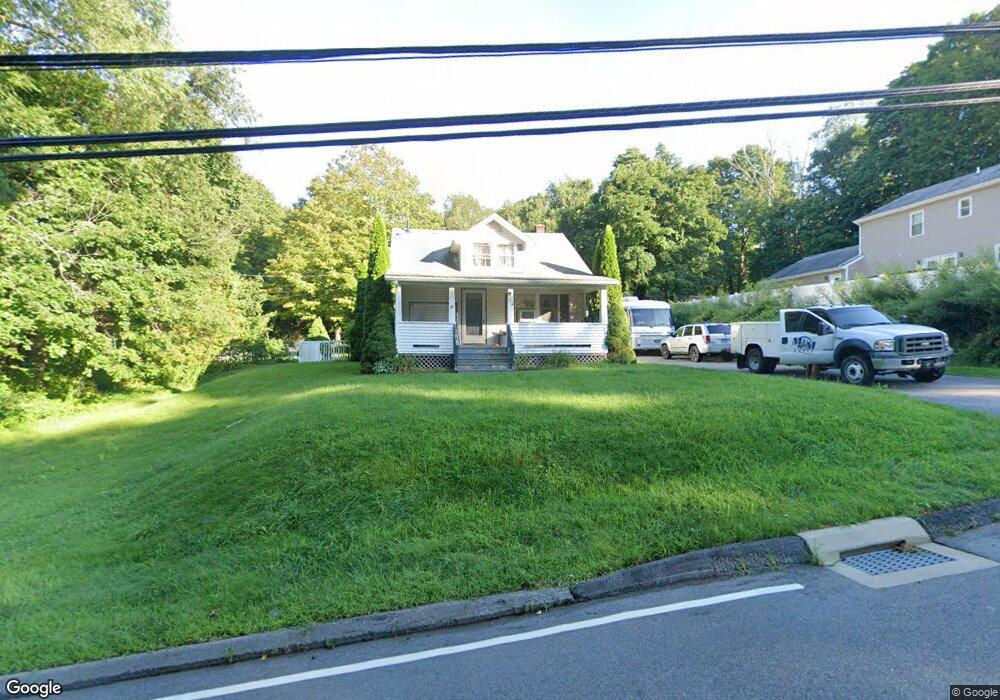
24 Sharp Hill Rd Uncasville, CT 06382
Oxoboxo River NeighborhoodEstimated Value: $235,000 - $324,000
2
Beds
2
Baths
941
Sq Ft
$290/Sq Ft
Est. Value
About This Home
This home is located at 24 Sharp Hill Rd, Uncasville, CT 06382 and is currently estimated at $272,458, approximately $289 per square foot. 24 Sharp Hill Rd is a home located in New London County with nearby schools including Leonard J. Tyl Middle School, Montville High School, and Bradley School-New London Regional.
Ownership History
Date
Name
Owned For
Owner Type
Purchase Details
Closed on
Apr 27, 1998
Sold by
Pickowitz David
Bought by
Hutchings Corey B and Hall Gina J
Current Estimated Value
Home Financials for this Owner
Home Financials are based on the most recent Mortgage that was taken out on this home.
Original Mortgage
$91,700
Interest Rate
7.11%
Mortgage Type
Purchase Money Mortgage
Create a Home Valuation Report for This Property
The Home Valuation Report is an in-depth analysis detailing your home's value as well as a comparison with similar homes in the area
Home Values in the Area
Average Home Value in this Area
Purchase History
| Date | Buyer | Sale Price | Title Company |
|---|---|---|---|
| Hutchings Corey B | $91,850 | -- | |
| Hutchings Corey B | $91,850 | -- |
Source: Public Records
Mortgage History
| Date | Status | Borrower | Loan Amount |
|---|---|---|---|
| Open | Hutchings Corey B | $138,900 | |
| Closed | Hutchings Corey B | $91,700 |
Source: Public Records
Tax History
| Year | Tax Paid | Tax Assessment Tax Assessment Total Assessment is a certain percentage of the fair market value that is determined by local assessors to be the total taxable value of land and additions on the property. | Land | Improvement |
|---|---|---|---|---|
| 2025 | $3,021 | $104,650 | $30,870 | $73,780 |
| 2024 | $2,906 | $104,650 | $30,870 | $73,780 |
| 2023 | $2,906 | $104,650 | $30,870 | $73,780 |
| 2022 | $2,795 | $104,650 | $30,870 | $73,780 |
| 2021 | $7,232 | $89,090 | $32,600 | $56,490 |
| 2020 | $7,232 | $89,090 | $32,600 | $56,490 |
| 2019 | $2,896 | $89,090 | $32,600 | $56,490 |
| 2018 | $2,827 | $89,090 | $32,600 | $56,490 |
| 2017 | $2,824 | $89,090 | $32,600 | $56,490 |
| 2016 | $2,806 | $91,680 | $40,650 | $51,030 |
| 2015 | $2,806 | $91,680 | $40,650 | $51,030 |
| 2014 | $2,693 | $91,680 | $40,650 | $51,030 |
Source: Public Records
Map
Nearby Homes
- 320 Maple Ave
- 355 Route 163
- 0 Monahan Dr
- 76 Gay Hill Rd
- 31 Bridge St
- 2 Fawns Meadow Rd
- 79 Cottonwood Ln
- 66 Rainbow Dr
- 82C Pires Dr
- 19 Moxley Rd
- 901 Old Colchester Rd
- 107 Woodland Dr Unit B
- 16 Greystone Dr
- 5 Blumenthal Dr
- 11 Blumenthal Dr
- 95 Kitemaug Rd
- 1465 Norwich New London (Rte 32) Turnpike
- 4 Brewer St
- 165 Massapeag Rd
- 63 Velgouse Rd
- 28 Sharp Hill Rd
- 32 Sharp Hill Rd
- 14 Sharp Hill Rd
- 21 Sharp Hill Rd
- 27 Sharp Hill Rd
- 19 Sharp Hill Rd
- 39 Sharp Hill Rd
- 10 Sharp Hill Rd
- 15 Sharp Hill Rd
- 45 Sharp Hill Rd
- 42 Sharp Hill Rd
- 364 Maple Ave
- 376 Maple Ave
- 390 Maple Ave
- 348 Maple Ave
- 354 Maple Ave
- 375 Maple Ave
- 392 Maple Ave
- 48 Sharp Hill Rd
- 361 Maple Ave
Your Personal Tour Guide
Ask me questions while you tour the home.