Estimated Value: $760,000 - $1,013,000
4
Beds
2
Baths
1,800
Sq Ft
$472/Sq Ft
Est. Value
About This Home
This home is located at 24 Simon Willard Rd, Acton, MA 01720 and is currently estimated at $849,314, approximately $471 per square foot. 24 Simon Willard Rd is a home located in Middlesex County with nearby schools including Acton-Boxborough Regional High School and Oak Meadow Montessori School.
Ownership History
Date
Name
Owned For
Owner Type
Purchase Details
Closed on
Nov 1, 1996
Sold by
Clayton William C
Bought by
Hampsch Timothy and Hampsch Krista L
Current Estimated Value
Home Financials for this Owner
Home Financials are based on the most recent Mortgage that was taken out on this home.
Original Mortgage
$150,000
Outstanding Balance
$14,757
Interest Rate
8.07%
Mortgage Type
Purchase Money Mortgage
Estimated Equity
$834,557
Purchase Details
Closed on
Jun 14, 1995
Sold by
Tweedy Jean B
Bought by
Ziering Charles A and Ziering Margaret W
Create a Home Valuation Report for This Property
The Home Valuation Report is an in-depth analysis detailing your home's value as well as a comparison with similar homes in the area
Home Values in the Area
Average Home Value in this Area
Purchase History
| Date | Buyer | Sale Price | Title Company |
|---|---|---|---|
| Hampsch Timothy | $265,500 | -- | |
| Ziering Charles A | $500,000 | -- |
Source: Public Records
Mortgage History
| Date | Status | Borrower | Loan Amount |
|---|---|---|---|
| Open | Ziering Charles A | $150,000 |
Source: Public Records
Tax History
| Year | Tax Paid | Tax Assessment Tax Assessment Total Assessment is a certain percentage of the fair market value that is determined by local assessors to be the total taxable value of land and additions on the property. | Land | Improvement |
|---|---|---|---|---|
| 2025 | $11,609 | $676,900 | $341,200 | $335,700 |
| 2024 | $11,092 | $665,400 | $341,200 | $324,200 |
| 2023 | $11,391 | $648,700 | $310,000 | $338,700 |
| 2022 | $10,814 | $556,000 | $269,600 | $286,400 |
| 2021 | $10,471 | $517,600 | $249,700 | $267,900 |
| 2020 | $9,887 | $513,900 | $249,700 | $264,200 |
| 2019 | $9,489 | $489,900 | $249,700 | $240,200 |
| 2018 | $9,347 | $482,300 | $249,700 | $232,600 |
| 2017 | $9,122 | $478,600 | $249,700 | $228,900 |
| 2016 | $8,984 | $467,200 | $249,700 | $217,500 |
| 2015 | $8,830 | $463,500 | $249,700 | $213,800 |
| 2014 | $8,716 | $448,100 | $249,700 | $198,400 |
Source: Public Records
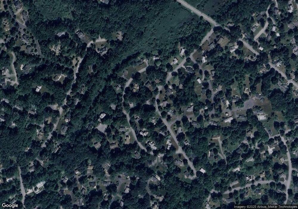
Map
Nearby Homes
- 11 Braebrook
- 33 Meadowbrook Rd
- 18 Hayward Rd
- 491 Main St
- 46 Taylor Rd
- 524 Main St
- 709 Main St
- 79 Charter Rd
- 27 Forest Rd
- 5 Perkins Ln
- 95 Concord Rd
- 20 Joseph Reed Ln
- 246 Main St Unit 2
- 7 Kelley Rd
- 60 Nashoba Rd
- 159 Skyline Dr Unit 159
- 15 Davis Rd Unit B-8
- 235 Arlington St
- 184 Main St Unit 3
- 11 Davis Rd Unit A5
- 11 Cowdrey Ln
- 23 Simon Willard Rd
- 23 Simon Willard Rd Unit 23
- 22 Simon Willard Rd
- 15 Cowdrey Ln
- 7 Cowdrey Ln
- 26 Simon Willard Rd
- 25 Simon Willard Rd
- 21 Simon Willard Rd
- 5 Cowdrey Ln
- 20 Simon Willard Rd
- 14 Cowdrey Ln
- 27 Simon Willard Rd
- 16 Cowdrey Ln
- 12 Cowdrey Ln
- 20 Cowdrey Ln
- 4 Heald Rd
- 18 Cowdrey Ln
- 3 Cowdrey Ln
- 19 Simon Willard Rd
Your Personal Tour Guide
Ask me questions while you tour the home.