24 Smith St Unit 31 Ensign R Needham, MA 02492
Estimated Value: $1,571,000 - $2,023,000
4
Beds
4
Baths
2,924
Sq Ft
$604/Sq Ft
Est. Value
About This Home
This home is located at 24 Smith St Unit 31 Ensign R, Needham, MA 02492 and is currently estimated at $1,767,030, approximately $604 per square foot. 24 Smith St Unit 31 Ensign R is a home located in Norfolk County with nearby schools including Newman Elementary School, High Rock Middle School, and Pollard Middle School.
Ownership History
Date
Name
Owned For
Owner Type
Purchase Details
Closed on
Jul 31, 2006
Sold by
Colman Frederick W and Colman Glens E
Bought by
Morley Christel L and Morley Paul B
Current Estimated Value
Purchase Details
Closed on
Sep 22, 1997
Sold by
Strasser Robert K and Strasser Patricia K
Bought by
Colman Frederick W and Colman Glens E
Purchase Details
Closed on
Aug 11, 1995
Sold by
Slicklen Bldrs Inc
Bought by
Strasser Robert K and Strasser Patricia K
Purchase Details
Closed on
Apr 12, 1995
Sold by
Howe Joseph E
Bought by
Slicklen Co Inc
Create a Home Valuation Report for This Property
The Home Valuation Report is an in-depth analysis detailing your home's value as well as a comparison with similar homes in the area
Home Values in the Area
Average Home Value in this Area
Purchase History
| Date | Buyer | Sale Price | Title Company |
|---|---|---|---|
| Morley Christel L | $877,000 | -- | |
| Morley Christel L | $877,000 | -- | |
| Colman Frederick W | $490,000 | -- | |
| Colman Frederick W | $490,000 | -- | |
| Strasser Robert K | $407,250 | -- | |
| Strasser Robert K | $407,250 | -- | |
| Slicklen Co Inc | $185,000 | -- | |
| Slicklen Co Inc | $185,000 | -- |
Source: Public Records
Mortgage History
| Date | Status | Borrower | Loan Amount |
|---|---|---|---|
| Open | Slicklen Co Inc | $618,000 |
Source: Public Records
Tax History Compared to Growth
Tax History
| Year | Tax Paid | Tax Assessment Tax Assessment Total Assessment is a certain percentage of the fair market value that is determined by local assessors to be the total taxable value of land and additions on the property. | Land | Improvement |
|---|---|---|---|---|
| 2025 | $15,897 | $1,499,700 | $802,800 | $696,900 |
| 2024 | $14,111 | $1,127,100 | $508,500 | $618,600 |
| 2023 | $14,032 | $1,076,100 | $508,500 | $567,600 |
| 2022 | $13,545 | $1,013,100 | $466,900 | $546,200 |
| 2021 | $13,201 | $1,013,100 | $466,900 | $546,200 |
| 2020 | $12,993 | $1,040,300 | $466,900 | $573,400 |
| 2019 | $12,226 | $986,800 | $424,800 | $562,000 |
| 2018 | $11,723 | $986,800 | $424,800 | $562,000 |
| 2017 | $10,966 | $922,300 | $424,800 | $497,500 |
| 2016 | $10,643 | $922,300 | $424,800 | $497,500 |
| 2015 | $10,413 | $922,300 | $424,800 | $497,500 |
| 2014 | $10,001 | $859,200 | $369,900 | $489,300 |
Source: Public Records
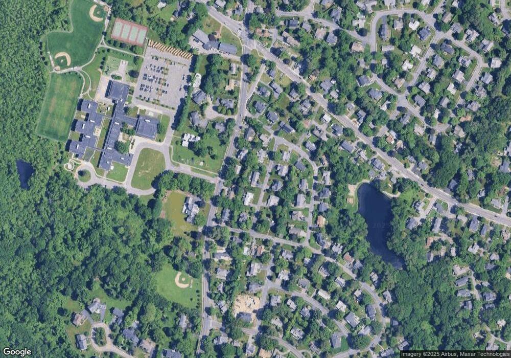
Map
Nearby Homes
- 29 Tolman St
- 361 High Rock St
- 24 Deerfield Rd
- 287 High Rock St
- 34 Pershing Rd
- 71 School St
- 37 Carleton Dr
- 233 Warren St
- 154 Warren St
- 445 Hillside Ave
- 47 Emerson Rd
- 30 Richardson Dr
- 3 Crescent Rd
- 80 Emerson Rd
- 10 Fieldstone Way Unit 10
- 556 Webster St
- 42 Otis St Unit R
- 40 Otis St Unit L
- 1011 Webster St
- 1 Windsor Rd