24 Solid Rock Dr Leicester, NC 28748
Estimated Value: $409,922 - $486,000
3
Beds
3
Baths
1,620
Sq Ft
$270/Sq Ft
Est. Value
About This Home
This home is located at 24 Solid Rock Dr, Leicester, NC 28748 and is currently estimated at $436,641, approximately $269 per square foot. 24 Solid Rock Dr is a home located in Buncombe County with nearby schools including Leicester Elementary School, Clyde A. Erwin High School, and Clyde A. Erwin Middle School.
Ownership History
Date
Name
Owned For
Owner Type
Purchase Details
Closed on
Jan 22, 2021
Sold by
King Gordon Neal and King Donna
Bought by
King Gordon Neal and King Donna
Current Estimated Value
Purchase Details
Closed on
Nov 16, 2016
Sold by
King Gordon Neal and King Donna
Bought by
Wright Christopher and Wright Nicole
Home Financials for this Owner
Home Financials are based on the most recent Mortgage that was taken out on this home.
Original Mortgage
$65,698
Outstanding Balance
$46,406
Interest Rate
3.54%
Mortgage Type
New Conventional
Estimated Equity
$390,235
Purchase Details
Closed on
Nov 16, 1998
Sold by
King Gordon J and King Belvie B
Bought by
King Gordon Neal
Create a Home Valuation Report for This Property
The Home Valuation Report is an in-depth analysis detailing your home's value as well as a comparison with similar homes in the area
Home Values in the Area
Average Home Value in this Area
Purchase History
| Date | Buyer | Sale Price | Title Company |
|---|---|---|---|
| King Gordon Neal | -- | None Available | |
| Wright Christopher | -- | None Available | |
| King Gordon Neal | -- | -- |
Source: Public Records
Mortgage History
| Date | Status | Borrower | Loan Amount |
|---|---|---|---|
| Open | Wright Christopher | $65,698 |
Source: Public Records
Tax History Compared to Growth
Tax History
| Year | Tax Paid | Tax Assessment Tax Assessment Total Assessment is a certain percentage of the fair market value that is determined by local assessors to be the total taxable value of land and additions on the property. | Land | Improvement |
|---|---|---|---|---|
| 2025 | $1,271 | $178,500 | $26,200 | $152,300 |
| 2024 | $1,271 | $194,700 | $57,400 | $137,300 |
| 2023 | $1,271 | $194,700 | $57,400 | $137,300 |
| 2022 | $1,213 | $194,700 | $0 | $0 |
| 2021 | $1,213 | $194,700 | $0 | $0 |
| 2020 | $1,067 | $159,500 | $0 | $0 |
| 2019 | $1,067 | $159,500 | $0 | $0 |
| 2018 | $1,051 | $159,500 | $0 | $0 |
| 2017 | $1,051 | $0 | $0 | $0 |
Source: Public Records
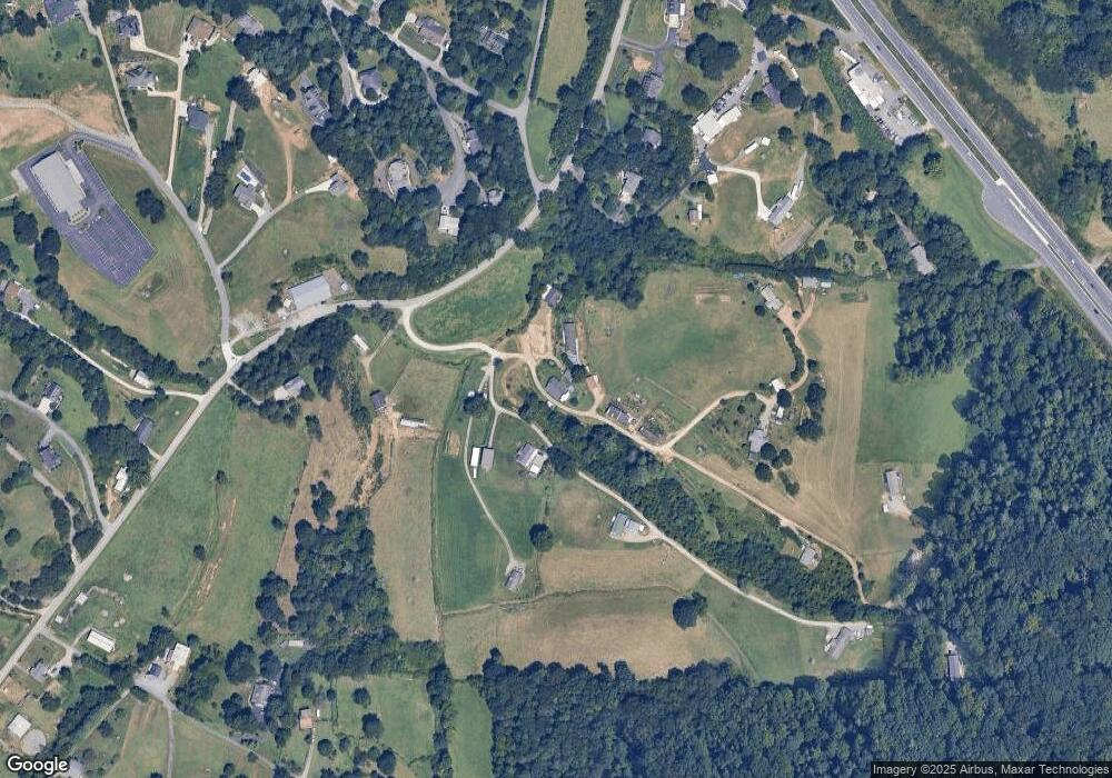
Map
Nearby Homes
- 124 Shadow View Dr
- 99999 New Leicester Hwy
- 52 Gouges Branch Rd
- 7 Brookshire Rd
- 117 Old Dairy Dr
- 40 Mountain Shadows Dr
- 62 Douglas Dr
- 186 Brookshire Rd
- 48 Sherry Ln
- 207 Emily Ln
- 218 W Walt Haven Dr
- 7 Shannon Ln
- 61 Blue Ridge Acres Rd
- 61 Frisbee Rd
- 99999 Morning Star Dr Unit Lot 13
- 122 Ramsey Rd
- 99999 Lawson Ridge Rd Unit 13
- 99999 Lawson Ridge Rd Unit 11
- 16 Lawson Ridge Rd
- 59 Knollview Dr
- 219 Post Oak Trail
- 51 Solid Rock Dr
- 214 Post Oak Trail
- 44 Goughes Branch Rd
- 99999 Old Farmstead Trail
- 210 Post Oak Trail
- 215 Post Oak Trail
- 38 Goughes Branch Rd Unit 3
- 38 Goughes Branch Rd
- 90 Goughes Branch Rd
- 13 Blessed Hill Rd
- 34 Goughes Branch Rd
- 15 Cane Brook Dr
- 154 Old Farmstead Trail
- 106 Shadowwood Dr
- 19 Blessed Hill Rd
- 310 Shady Places Ln
- 28 Goughes Branch Rd
- 21 Cane Brook Dr
- 2338 New Leicester Hwy