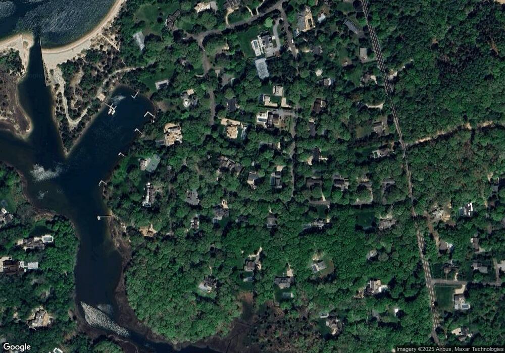
24 South Dr Sag Harbor, NY 11963
Estimated Value: $2,638,000 - $3,378,000
3
Beds
3
Baths
2,244
Sq Ft
$1,370/Sq Ft
Est. Value
About This Home
This home is located at 24 South Dr, Sag Harbor, NY 11963 and is currently estimated at $3,073,586, approximately $1,369 per square foot. 24 South Dr is a home located in Suffolk County with nearby schools including Sag Harbor Elementary School and Pierson Middle/High School.
Ownership History
Date
Name
Owned For
Owner Type
Purchase Details
Closed on
May 22, 2015
Sold by
Sachar Donald and Derona Jack
Bought by
Tarlow Wendy J
Current Estimated Value
Purchase Details
Closed on
Dec 23, 2008
Sold by
Denton Jason J
Bought by
Sachar Donald
Purchase Details
Closed on
Sep 29, 2003
Sold by
Samuels Victoria R
Bought by
Denton Jason J and Denton Jennifer
Home Financials for this Owner
Home Financials are based on the most recent Mortgage that was taken out on this home.
Original Mortgage
$166,000
Interest Rate
6.43%
Mortgage Type
Credit Line Revolving
Create a Home Valuation Report for This Property
The Home Valuation Report is an in-depth analysis detailing your home's value as well as a comparison with similar homes in the area
Home Values in the Area
Average Home Value in this Area
Purchase History
| Date | Buyer | Sale Price | Title Company |
|---|---|---|---|
| Tarlow Wendy J | $1,735,000 | Fidelity National Title | |
| Sachar Donald | $1,288,500 | Roy Greenberg | |
| Sachar Donald | $1,288,500 | Roy Greenberg | |
| Denton Jason J | $740,000 | Commonwealth Land Title Ins |
Source: Public Records
Mortgage History
| Date | Status | Borrower | Loan Amount |
|---|---|---|---|
| Previous Owner | Denton Jason J | $166,000 | |
| Previous Owner | Denton Jason J | $500,000 |
Source: Public Records
Tax History Compared to Growth
Tax History
| Year | Tax Paid | Tax Assessment Tax Assessment Total Assessment is a certain percentage of the fair market value that is determined by local assessors to be the total taxable value of land and additions on the property. | Land | Improvement |
|---|---|---|---|---|
| 2024 | $1,424 | $1,404,100 | $861,200 | $542,900 |
| 2023 | $712 | $1,404,100 | $861,200 | $542,900 |
| 2022 | $6,231 | $1,404,100 | $861,200 | $542,900 |
| 2021 | $6,231 | $1,454,300 | $822,100 | $632,200 |
| 2020 | $9,394 | $1,454,300 | $822,100 | $632,200 |
| 2019 | $9,268 | $0 | $0 | $0 |
| 2018 | -- | $1,390,800 | $822,100 | $568,700 |
| 2017 | $7,229 | $1,140,200 | $571,500 | $568,700 |
| 2016 | $7,734 | $1,140,200 | $571,500 | $568,700 |
| 2015 | -- | $998,900 | $514,300 | $484,600 |
| 2014 | -- | $998,900 | $514,300 | $484,600 |
Source: Public Records
Map
Nearby Homes
- 8 Widow Coopers Path
- 3 N Haven Way
- 9 Seaponack Dr
- 27 Gardiners Path
- 12 N Haven Way
- 26 Mashomuck Dr
- 24 On the Bluffs
- 32 Mashomuck Dr
- 33 Mashomuck Dr
- 115 S Ferry Rd
- 31 Bayberry Ln
- 9 & 7 Westmoreland Dr
- 15A / 15 & 13 S Menantic Rd
- 18 Sunset Rd
- 2 Sunset Rd
- 21 Thompson Rd
- 100 S Ferry Rd
- 166 Ferry Rd
- 15 Maunakea St
- 27 Fresh Pond Rd
