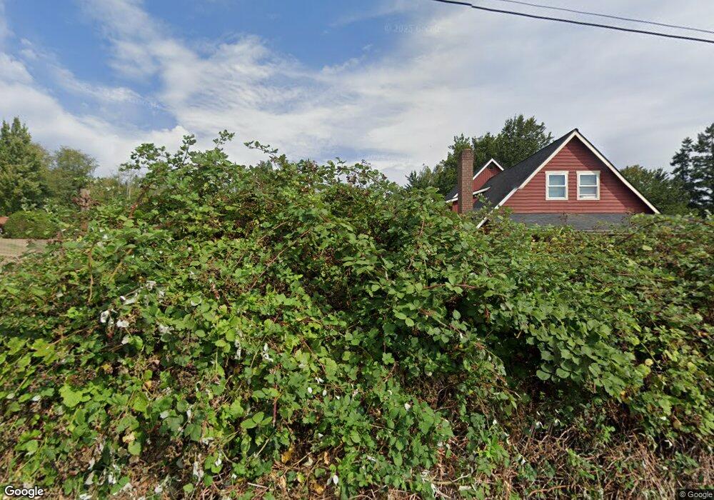
24 Stark Rd Port Ludlow, WA 98365
Estimated Value: $932,000 - $1,262,000
3
Beds
2
Baths
3,400
Sq Ft
$313/Sq Ft
Est. Value
About This Home
This home is located at 24 Stark Rd, Port Ludlow, WA 98365 and is currently estimated at $1,064,996, approximately $313 per square foot. 24 Stark Rd is a home located in Jefferson County with nearby schools including Chimacum Creek Primary School, Chimacum School Pi Program, and Chimacum Elementary School.
Ownership History
Date
Name
Owned For
Owner Type
Purchase Details
Closed on
Feb 21, 2012
Sold by
Drinkard Lloyd A
Bought by
Stewart Susan
Current Estimated Value
Purchase Details
Closed on
Aug 14, 2009
Sold by
Clayton Thomas H and Clayton Gwen D
Bought by
Drinkard Lloy A
Home Financials for this Owner
Home Financials are based on the most recent Mortgage that was taken out on this home.
Original Mortgage
$300,000
Interest Rate
5.09%
Mortgage Type
New Conventional
Create a Home Valuation Report for This Property
The Home Valuation Report is an in-depth analysis detailing your home's value as well as a comparison with similar homes in the area
Home Values in the Area
Average Home Value in this Area
Purchase History
| Date | Buyer | Sale Price | Title Company |
|---|---|---|---|
| Stewart Susan | -- | None Available | |
| Drinkard Lloy A | $395,000 | None Available |
Source: Public Records
Mortgage History
| Date | Status | Borrower | Loan Amount |
|---|---|---|---|
| Previous Owner | Drinkard Lloy A | $300,000 |
Source: Public Records
Tax History Compared to Growth
Tax History
| Year | Tax Paid | Tax Assessment Tax Assessment Total Assessment is a certain percentage of the fair market value that is determined by local assessors to be the total taxable value of land and additions on the property. | Land | Improvement |
|---|---|---|---|---|
| 2024 | $5,397 | $902,610 | $181,500 | $721,110 |
| 2023 | $5,397 | $681,066 | $130,000 | $551,066 |
| 2022 | $4,857 | $652,107 | $125,000 | $527,107 |
| 2021 | $4,790 | $529,053 | $108,000 | $421,053 |
| 2020 | $4,572 | $490,978 | $100,000 | $390,978 |
| 2019 | $4,162 | $452,902 | $92,000 | $360,902 |
| 2018 | $4,694 | $414,827 | $84,000 | $330,827 |
| 2017 | $4,207 | $414,827 | $84,000 | $330,827 |
| 2016 | $4,141 | $380,752 | $80,000 | $300,752 |
| 2015 | $4,084 | $370,401 | $75,000 | $295,401 |
| 2014 | -- | $370,401 | $75,000 | $295,401 |
| 2013 | -- | $370,400 | $75,000 | $295,400 |
Source: Public Records
Map
Nearby Homes
- 131 Linda View Ln
- 40 Garten Rd
- 0 Linda View Ln Unit NWM2374154
- 713 Olympic Ridge Dr
- 2135 Shine Rd
- 124 Hoods View Ct
- 155 Blueberry Hill Rd
- 644 & 634 Bywater Way
- 21 Blueberry Hill Rd
- 54 Ship View Ct Unit Port Ludlow WA 98365
- 54 Ship View Ct
- 262 Margaret St
- 13 White Rock Ln
- 15 White Rock Ln
- 0 Hill St
- 24 W Spruce St
- 90 McCartney Peak Ln Unit 70
- 71 McCartney Peak Ln Unit 72
- 71 Mccartney Ln
- 51 McCartney Peak Ln Unit 74