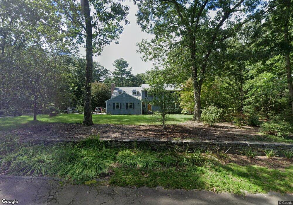
24 Stoneybrook Rd Sherborn, MA 01770
Estimated Value: $1,237,000 - $1,613,000
4
Beds
3
Baths
3,055
Sq Ft
$450/Sq Ft
Est. Value
About This Home
This home is located at 24 Stoneybrook Rd, Sherborn, MA 01770 and is currently estimated at $1,373,553, approximately $449 per square foot. 24 Stoneybrook Rd is a home located in Middlesex County with nearby schools including Pine Hill Elementary School, Dover-Sherborn Regional Middle School, and Dover-Sherborn Regional High School.
Ownership History
Date
Name
Owned For
Owner Type
Purchase Details
Closed on
Aug 28, 2000
Sold by
Quinn Dorothy M
Bought by
Sinclair James M and Sinclair Andrea D
Current Estimated Value
Home Financials for this Owner
Home Financials are based on the most recent Mortgage that was taken out on this home.
Original Mortgage
$200,000
Interest Rate
8.06%
Mortgage Type
Purchase Money Mortgage
Create a Home Valuation Report for This Property
The Home Valuation Report is an in-depth analysis detailing your home's value as well as a comparison with similar homes in the area
Home Values in the Area
Average Home Value in this Area
Purchase History
| Date | Buyer | Sale Price | Title Company |
|---|---|---|---|
| Sinclair James M | $477,500 | -- |
Source: Public Records
Mortgage History
| Date | Status | Borrower | Loan Amount |
|---|---|---|---|
| Open | Sinclair James M | $150,000 | |
| Closed | Sinclair James M | $200,000 | |
| Previous Owner | Sinclair James M | $45,000 | |
| Previous Owner | Sinclair James M | $47,500 |
Source: Public Records
Tax History Compared to Growth
Tax History
| Year | Tax Paid | Tax Assessment Tax Assessment Total Assessment is a certain percentage of the fair market value that is determined by local assessors to be the total taxable value of land and additions on the property. | Land | Improvement |
|---|---|---|---|---|
| 2025 | $21,100 | $1,272,600 | $450,800 | $821,800 |
| 2024 | $19,645 | $1,159,000 | $450,800 | $708,200 |
| 2023 | $17,893 | $993,500 | $450,800 | $542,700 |
| 2022 | $16,859 | $885,900 | $440,800 | $445,100 |
| 2021 | $16,705 | $851,000 | $440,800 | $410,200 |
| 2020 | $16,560 | $851,000 | $440,800 | $410,200 |
| 2019 | $16,591 | $845,600 | $440,800 | $404,800 |
| 2018 | $16,061 | $832,200 | $440,800 | $391,400 |
| 2017 | $15,977 | $780,900 | $440,800 | $340,100 |
| 2016 | $15,894 | $772,700 | $440,800 | $331,900 |
| 2015 | $15,581 | $766,800 | $435,800 | $331,000 |
| 2014 | $14,850 | $730,100 | $415,800 | $314,300 |
Source: Public Records
Map
Nearby Homes
- 220 S Main St
- 20 Nason Hill Rd
- 7 Fawn Rd
- 2 Surrey Ln
- 38 Bullard St
- 14 Sewall Brook Ln
- 54 Spywood Rd
- 00000 S Main St and Bullard St
- 27 Spywood Rd
- 21 Spywood Rd
- 65 Farm Road Lot 6
- 61 Old Orchard Rd
- 4 Green Ln
- 121 Bullard St
- 2 Towne Lyne Rd
- 6 Brook St
- 18 Wildwood Dr
- 84 Middlesex St
- 30 Powderhorn Ln
- 114 Farm St
- 20 Stoneybrook Rd
- 26 Stoneybrook Rd
- 16 Stoneybrook Rd
- 30 Stoneybrook Rd
- 21 Stoneybrook Rd
- 30 Stoney Brook Rd
- 23 Stoneybrook Rd
- 27 Stoneybrook Rd
- 14 Stoneybrook Rd
- 15 Stoneybrook Rd
- 29 Stoneybrook Rd
- 36 Stoneybrook Rd
- 33 Stoneybrook Rd
- 10 Stoneybrook Rd
- 11 Stoneybrook Rd
- 35 Stoneybrook Rd
- 180 S Main St
- 5 Stoneybrook Rd
- 176 S Main St
- 182 S Main St