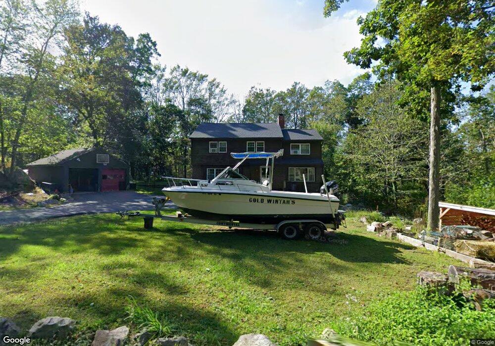
24 Sumner St Gloucester, MA 01930
West Gloucester NeighborhoodEstimated Value: $671,000 - $855,000
5
Beds
4
Baths
3,200
Sq Ft
$248/Sq Ft
Est. Value
About This Home
This home is located at 24 Sumner St, Gloucester, MA 01930 and is currently estimated at $792,643, approximately $247 per square foot. 24 Sumner St is a home located in Essex County with nearby schools including West Parish, Ralph B O'maley Middle School, and Gloucester High School.
Ownership History
Date
Name
Owned For
Owner Type
Purchase Details
Closed on
Oct 21, 2016
Sold by
Stout Pamela and Costa Lucille N
Bought by
Scola Charles and Scola Gia
Current Estimated Value
Home Financials for this Owner
Home Financials are based on the most recent Mortgage that was taken out on this home.
Original Mortgage
$415,648
Outstanding Balance
$333,008
Interest Rate
3.44%
Mortgage Type
FHA
Estimated Equity
$459,635
Purchase Details
Closed on
Apr 29, 1994
Sold by
Maiuri Vincent A
Bought by
Stout Ronald P and Stout Pamela
Home Financials for this Owner
Home Financials are based on the most recent Mortgage that was taken out on this home.
Original Mortgage
$180,000
Interest Rate
7.7%
Mortgage Type
Purchase Money Mortgage
Create a Home Valuation Report for This Property
The Home Valuation Report is an in-depth analysis detailing your home's value as well as a comparison with similar homes in the area
Home Values in the Area
Average Home Value in this Area
Purchase History
| Date | Buyer | Sale Price | Title Company |
|---|---|---|---|
| Scola Charles | $430,000 | -- | |
| Stout Ronald P | $225,000 | -- |
Source: Public Records
Mortgage History
| Date | Status | Borrower | Loan Amount |
|---|---|---|---|
| Open | Scola Charles | $415,648 | |
| Previous Owner | Stout Ronald P | $168,000 | |
| Previous Owner | Stout Ronald P | $180,000 |
Source: Public Records
Tax History
| Year | Tax Paid | Tax Assessment Tax Assessment Total Assessment is a certain percentage of the fair market value that is determined by local assessors to be the total taxable value of land and additions on the property. | Land | Improvement |
|---|---|---|---|---|
| 2025 | $7,500 | $771,600 | $191,800 | $579,800 |
| 2024 | $6,920 | $711,200 | $182,600 | $528,600 |
| 2023 | $7,143 | $674,500 | $163,100 | $511,400 |
| 2022 | $6,711 | $572,100 | $141,800 | $430,300 |
| 2021 | $6,499 | $522,400 | $128,900 | $393,500 |
| 2020 | $6,169 | $500,300 | $128,900 | $371,400 |
| 2019 | $5,756 | $453,600 | $128,900 | $324,700 |
| 2018 | $5,625 | $435,000 | $128,900 | $306,100 |
| 2017 | $5,397 | $409,200 | $122,800 | $286,400 |
| 2016 | $5,273 | $387,400 | $128,100 | $259,300 |
| 2015 | $5,186 | $379,900 | $128,100 | $251,800 |
Source: Public Records
Map
Nearby Homes
- 587 Essex Ave
- 7 Leaman Dr
- 15 Lufkin Point Rd
- 368 Essex Ave
- 162 Main St
- 90 Southern Ave Unit 90
- 145 Main St Unit 1
- 145 Main St Unit 4
- 5 Samoset Rd Unit B
- 5 Lepage Ln
- 24 Cobblestone Ln Unit 603
- 167 Atlantic St
- 34 & 34R Pickering St
- 178 Atlantic St
- 145 Essex Ave Unit 402
- 85 Martin St
- 226 Atlantic St
- 13 Honeysuckle Rd
- 4 Tara Rd
- 3 Hardy Ln
Your Personal Tour Guide
Ask me questions while you tour the home.