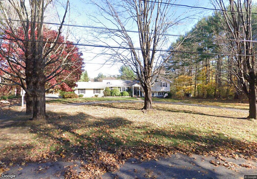
24 Surrey Ln Sudbury, MA 01776
Estimated Value: $914,000 - $1,065,000
3
Beds
3
Baths
1,760
Sq Ft
$556/Sq Ft
Est. Value
About This Home
This home is located at 24 Surrey Ln, Sudbury, MA 01776 and is currently estimated at $979,206, approximately $556 per square foot. 24 Surrey Ln is a home located in Middlesex County with nearby schools including Peter Noyes Elementary School, Ephraim Curtis Middle School, and Lincoln-Sudbury Regional High School.
Ownership History
Date
Name
Owned For
Owner Type
Purchase Details
Closed on
Nov 30, 2007
Sold by
Boughrum Carol A and Boughrum Robert H
Bought by
Iwasaki Elizabeth M and Iwasaki Wako
Current Estimated Value
Home Financials for this Owner
Home Financials are based on the most recent Mortgage that was taken out on this home.
Original Mortgage
$310,000
Interest Rate
6.48%
Mortgage Type
Purchase Money Mortgage
Purchase Details
Closed on
Mar 18, 1996
Sold by
Pittack Uew J and Pittack Ilse C
Bought by
Curran Gary A and Curran Janice M
Home Financials for this Owner
Home Financials are based on the most recent Mortgage that was taken out on this home.
Original Mortgage
$200,000
Interest Rate
6.97%
Mortgage Type
Purchase Money Mortgage
Create a Home Valuation Report for This Property
The Home Valuation Report is an in-depth analysis detailing your home's value as well as a comparison with similar homes in the area
Home Values in the Area
Average Home Value in this Area
Purchase History
| Date | Buyer | Sale Price | Title Company |
|---|---|---|---|
| Iwasaki Elizabeth M | $525,000 | -- | |
| Curran Gary A | $343,000 | -- |
Source: Public Records
Mortgage History
| Date | Status | Borrower | Loan Amount |
|---|---|---|---|
| Open | Curran Gary A | $300,000 | |
| Closed | Curran Gary A | $310,000 | |
| Closed | Iwasaki Elizabeth M | $310,000 | |
| Previous Owner | Curran Gary A | $200,000 | |
| Previous Owner | Curran Gary A | $50,000 |
Source: Public Records
Tax History Compared to Growth
Tax History
| Year | Tax Paid | Tax Assessment Tax Assessment Total Assessment is a certain percentage of the fair market value that is determined by local assessors to be the total taxable value of land and additions on the property. | Land | Improvement |
|---|---|---|---|---|
| 2025 | $12,996 | $887,700 | $494,400 | $393,300 |
| 2024 | $12,560 | $859,700 | $480,800 | $378,900 |
| 2023 | $12,528 | $794,400 | $447,600 | $346,800 |
| 2022 | $11,944 | $661,700 | $413,200 | $248,500 |
| 2021 | $11,539 | $612,800 | $413,200 | $199,600 |
| 2020 | $11,306 | $612,800 | $413,200 | $199,600 |
| 2019 | $10,975 | $612,800 | $413,200 | $199,600 |
| 2018 | $10,774 | $600,900 | $433,200 | $167,700 |
| 2017 | $10,376 | $584,900 | $428,400 | $156,500 |
| 2016 | $10,107 | $567,800 | $413,200 | $154,600 |
| 2015 | $9,534 | $541,700 | $398,400 | $143,300 |
| 2014 | $9,505 | $527,200 | $387,600 | $139,600 |
Source: Public Records
Map
Nearby Homes
- 21 Summer St
- 7 Saddle Ridge Rd
- 47 Fairbank Rd
- 143 Peakham Rd
- 4 Elderberry Cir
- 123 Dutton Rd
- 30 Rolling Ln
- 12 Camperdown Ln
- 36 Old Forge Ln
- 788 Main St
- 786 Main St
- 12 Hickory Rd
- 10 Shoreline Dr Unit 12
- 54 Stone Rd
- 8 Shoreline Dr Unit 11
- 14 Old County Rd Unit 21
- 54 Phillips Rd
- 3 Shore Line Dr Unit 15
- 10 Old County Rd Unit 19
- 0 Robbins Rd