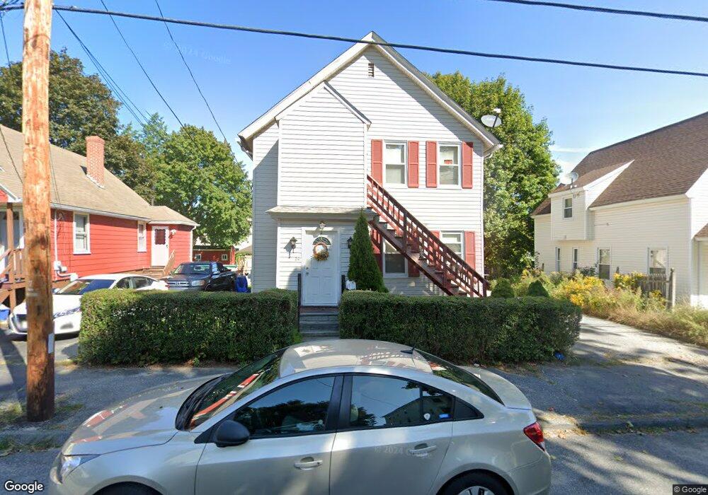
24 Tatman St Worcester, MA 01607
North Quinsigamond Village NeighborhoodEstimated Value: $355,000 - $419,633
4
Beds
2
Baths
1,386
Sq Ft
$278/Sq Ft
Est. Value
About This Home
This home is located at 24 Tatman St, Worcester, MA 01607 and is currently estimated at $385,158, approximately $277 per square foot. 24 Tatman St is a home located in Worcester County with nearby schools including Quinsigamond School, Jacob Hiatt Magnet School, and Chandler Magnet.
Ownership History
Date
Name
Owned For
Owner Type
Purchase Details
Closed on
Sep 29, 2025
Sold by
Rodriguez Carmen N
Bought by
Gonzalez Jason
Current Estimated Value
Purchase Details
Closed on
May 15, 1996
Sold by
Beauregard David and Beauregard Peggy
Bought by
Rodriguez Carmen
Home Financials for this Owner
Home Financials are based on the most recent Mortgage that was taken out on this home.
Original Mortgage
$64,100
Interest Rate
7.77%
Mortgage Type
Purchase Money Mortgage
Purchase Details
Closed on
Oct 11, 1991
Sold by
Irene Beauregard
Bought by
Bergeron Kenneth P and Bergeron Pauline
Create a Home Valuation Report for This Property
The Home Valuation Report is an in-depth analysis detailing your home's value as well as a comparison with similar homes in the area
Home Values in the Area
Average Home Value in this Area
Purchase History
| Date | Buyer | Sale Price | Title Company |
|---|---|---|---|
| Gonzalez Jason | -- | -- | |
| Rodriguez Carmen | $67,500 | -- | |
| Bergeron Kenneth P | $60,000 | -- |
Source: Public Records
Mortgage History
| Date | Status | Borrower | Loan Amount |
|---|---|---|---|
| Previous Owner | Bergeron Kenneth P | $77,601 | |
| Previous Owner | Bergeron Kenneth P | $64,100 | |
| Previous Owner | Bergeron Kenneth P | $35,000 |
Source: Public Records
Tax History Compared to Growth
Tax History
| Year | Tax Paid | Tax Assessment Tax Assessment Total Assessment is a certain percentage of the fair market value that is determined by local assessors to be the total taxable value of land and additions on the property. | Land | Improvement |
|---|---|---|---|---|
| 2025 | $4,651 | $352,600 | $117,700 | $234,900 |
| 2024 | $4,494 | $326,800 | $117,700 | $209,100 |
| 2023 | $4,180 | $291,500 | $102,300 | $189,200 |
| 2022 | $3,804 | $250,100 | $81,900 | $168,200 |
| 2021 | $3,370 | $207,000 | $65,500 | $141,500 |
| 2020 | $3,220 | $189,400 | $65,500 | $123,900 |
| 2019 | $3,206 | $178,100 | $58,900 | $119,200 |
| 2018 | $3,177 | $168,000 | $58,900 | $109,100 |
| 2017 | $3,064 | $159,400 | $58,900 | $100,500 |
| 2016 | $2,918 | $141,600 | $42,800 | $98,800 |
| 2015 | $2,842 | $141,600 | $42,800 | $98,800 |
| 2014 | $2,767 | $141,600 | $42,800 | $98,800 |
Source: Public Records
Map
Nearby Homes
- 78 Greenwood St
- 29 Steele St
- 10 Steele St
- 17 Thenius St
- 2 Mystic St
- 55 Tennyson St
- 72 Sophia Dr
- 28 Bittersweet Blvd
- 47 Gibbs St
- 11 Gibbs St Unit 12
- 30 Davenport St
- 22 Lesley Ave
- 26 Maxwell St
- 405 Granite St
- 145 Loxwood St
- 74 Esther St
- 10 Gensell Ave
- 32 Ames St
- 1295 Millbury St Unit B
- Lot 1 Stockton St