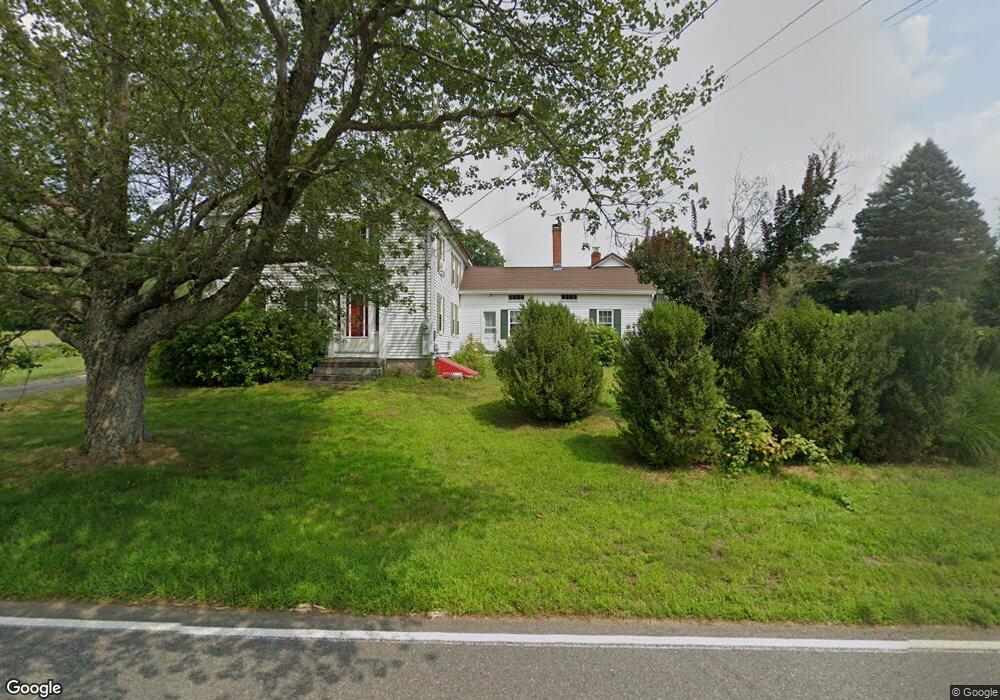
24 Town St East Haddam, CT 06423
Estimated Value: $466,038 - $650,000
5
Beds
3
Baths
2,884
Sq Ft
$185/Sq Ft
Est. Value
About This Home
This home is located at 24 Town St, East Haddam, CT 06423 and is currently estimated at $534,510, approximately $185 per square foot. 24 Town St is a home located in Middlesex County with nearby schools including East Haddam Elementary School, Nathan Hale-Ray Middle School, and Nathan Hale-Ray High School.
Ownership History
Date
Name
Owned For
Owner Type
Purchase Details
Closed on
Dec 30, 2022
Sold by
L Mcclure Laure L Est and Mcclure
Bought by
Mcclure Shannon L
Current Estimated Value
Home Financials for this Owner
Home Financials are based on the most recent Mortgage that was taken out on this home.
Original Mortgage
$239,000
Outstanding Balance
$231,073
Interest Rate
6.58%
Mortgage Type
Purchase Money Mortgage
Estimated Equity
$303,437
Purchase Details
Closed on
Jun 30, 1989
Sold by
Smith Doris J
Bought by
Mcclure Laura L
Create a Home Valuation Report for This Property
The Home Valuation Report is an in-depth analysis detailing your home's value as well as a comparison with similar homes in the area
Home Values in the Area
Average Home Value in this Area
Purchase History
| Date | Buyer | Sale Price | Title Company |
|---|---|---|---|
| Mcclure Shannon L | $299,000 | None Available | |
| Mcclure Laura L | $28,400 | -- |
Source: Public Records
Mortgage History
| Date | Status | Borrower | Loan Amount |
|---|---|---|---|
| Open | Mcclure Shannon L | $239,000 | |
| Previous Owner | Mcclure Laura L | $272,515 | |
| Previous Owner | Mcclure Laura L | $281,698 |
Source: Public Records
Tax History Compared to Growth
Tax History
| Year | Tax Paid | Tax Assessment Tax Assessment Total Assessment is a certain percentage of the fair market value that is determined by local assessors to be the total taxable value of land and additions on the property. | Land | Improvement |
|---|---|---|---|---|
| 2025 | $7,639 | $272,240 | $85,620 | $186,620 |
| 2024 | $7,285 | $272,240 | $85,620 | $186,620 |
| 2023 | $7,010 | $272,240 | $85,620 | $186,620 |
| 2022 | $6,321 | $198,850 | $61,580 | $137,270 |
| 2021 | $6,053 | $198,850 | $61,580 | $137,270 |
| 2020 | $6,053 | $198,850 | $61,580 | $137,270 |
| 2019 | $6,053 | $198,850 | $61,580 | $137,270 |
| 2018 | $5,898 | $198,850 | $61,580 | $137,270 |
| 2017 | $5,519 | $186,590 | $65,070 | $121,520 |
| 2016 | $5,476 | $186,590 | $65,070 | $121,520 |
| 2015 | $5,351 | $186,590 | $65,070 | $121,520 |
| 2014 | $5,207 | $186,620 | $65,100 | $121,520 |
Source: Public Records
Map
Nearby Homes
- 11 Phelps Rd
- 14 Ferry Rd Unit E2
- 7 Shelter Rock Rd
- 496 Joshuatown Rd
- 45 Clark Rd
- 53 Selden Rd
- 0 Florida Rd
- 153 Ferry Rd
- 89 Brush Hill Rd
- 153 Mitchell Hill Rd
- 47 Ferry Rd
- 2 Acorn Dr
- 132 Tantumorantum Rd
- 131 Middlesex Ave
- 36 Kings Hwy
- 253 Clark Hill Rd
- 31 Birch Hill Rd
- 53 Shanaghans Rd
- 274 Joshuatown Rd
- 11 Kings Hwy