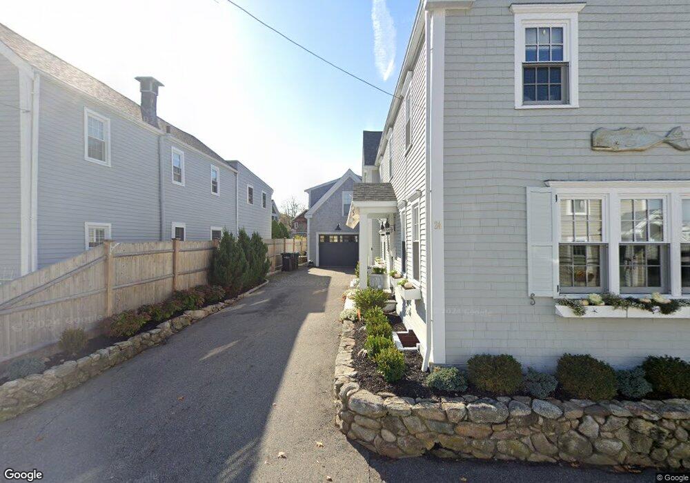
24 Union St Newburyport, MA 01950
Estimated Value: $1,610,000 - $2,057,000
4
Beds
3
Baths
2,594
Sq Ft
$721/Sq Ft
Est. Value
About This Home
This home is located at 24 Union St, Newburyport, MA 01950 and is currently estimated at $1,869,725, approximately $720 per square foot. 24 Union St is a home located in Essex County with nearby schools including Francis T. Bresnahan Elementary School, Edward G. Molin Elementary School, and Rupert A. Nock Middle School.
Ownership History
Date
Name
Owned For
Owner Type
Purchase Details
Closed on
Jul 15, 2019
Sold by
Depasqua Anthony R and Depasqua Eliza K
Bought by
Robinson April and Robinson Scott
Current Estimated Value
Purchase Details
Closed on
Aug 21, 2009
Sold by
Erskine Edward J and Erskine Lynne K
Bought by
Depasqua Anthony R
Create a Home Valuation Report for This Property
The Home Valuation Report is an in-depth analysis detailing your home's value as well as a comparison with similar homes in the area
Home Values in the Area
Average Home Value in this Area
Purchase History
| Date | Buyer | Sale Price | Title Company |
|---|---|---|---|
| Robinson April | $1,127,000 | -- | |
| Depasqua Anthony R | $380,000 | -- |
Source: Public Records
Mortgage History
| Date | Status | Borrower | Loan Amount |
|---|---|---|---|
| Previous Owner | Depasqua Anthony R | $154,000 | |
| Previous Owner | Depasqua Anthony R | $30,000 |
Source: Public Records
Tax History Compared to Growth
Tax History
| Year | Tax Paid | Tax Assessment Tax Assessment Total Assessment is a certain percentage of the fair market value that is determined by local assessors to be the total taxable value of land and additions on the property. | Land | Improvement |
|---|---|---|---|---|
| 2025 | $15,418 | $1,609,400 | $425,900 | $1,183,500 |
| 2024 | $14,822 | $1,486,700 | $387,200 | $1,099,500 |
| 2023 | $13,188 | $1,227,900 | $336,700 | $891,200 |
| 2022 | $12,159 | $1,012,400 | $280,500 | $731,900 |
| 2021 | $11,665 | $922,900 | $255,100 | $667,800 |
| 2020 | $9,226 | $718,500 | $255,100 | $463,400 |
| 2019 | $9,398 | $718,500 | $255,100 | $463,400 |
| 2018 | $8,993 | $678,200 | $242,900 | $435,300 |
| 2017 | $8,777 | $652,600 | $231,300 | $421,300 |
| 2016 | $8,740 | $652,700 | $210,800 | $441,900 |
| 2015 | $8,707 | $652,700 | $210,800 | $441,900 |
Source: Public Records
Map
Nearby Homes
- 4 Goodwin Ave
- 71 Purchase St
- 78 Purchase St
- 1 Lancaster Rd
- 3 Riverview Dr
- 164 Water St
- 164 Water St Unit A
- 166 Water St Unit B
- 65 Bromfield St
- 5 High Rd
- 111 Prospect St Unit A
- 113 Prospect St Unit B
- 11 High Rd
- 7 Parsons St
- 12 Parsons St Unit 2
- 58 Lime St Unit 5
- 15 Beck St Unit 1
- 15 Beck St
- 4 School St
- 42 Federal St Unit B