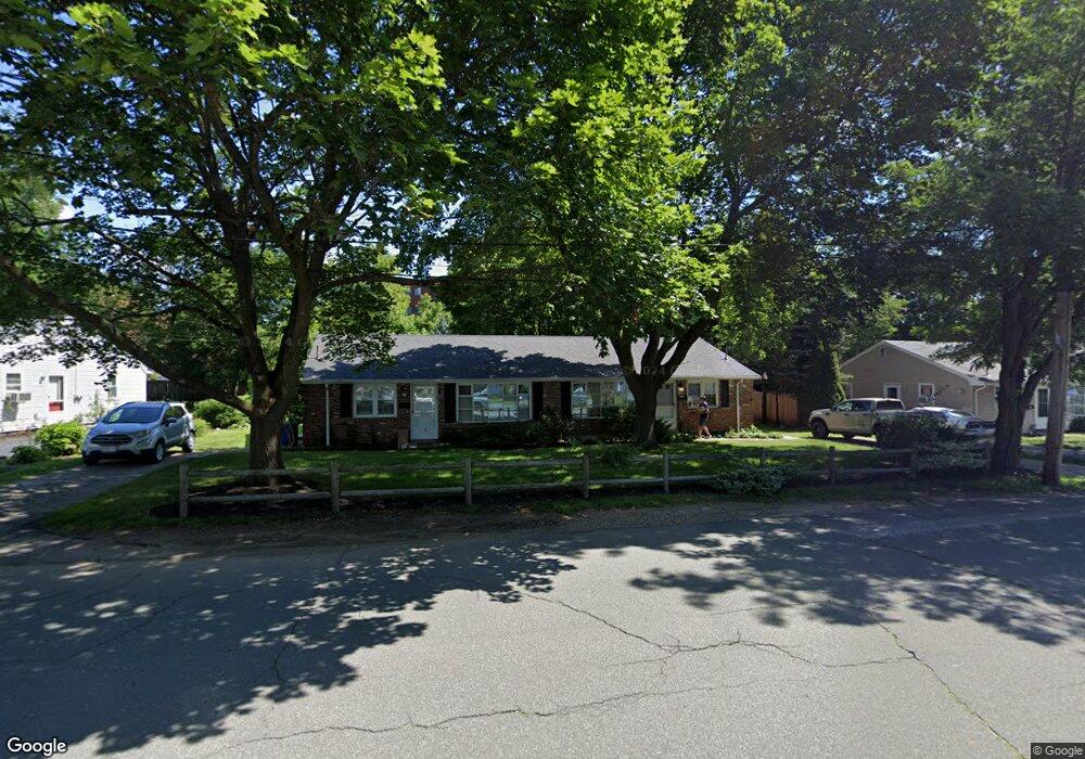
24 Victoria Ln Unit 26 Stoneham, MA 02180
Lindenwood NeighborhoodEstimated Value: $751,000 - $836,000
4
Beds
2
Baths
1,800
Sq Ft
$437/Sq Ft
Est. Value
About This Home
This home is located at 24 Victoria Ln Unit 26, Stoneham, MA 02180 and is currently estimated at $785,756, approximately $436 per square foot. 24 Victoria Ln Unit 26 is a home located in Middlesex County with nearby schools including Stoneham High School, St. Patrick Elementary School, and Greater Boston Academy.
Ownership History
Date
Name
Owned For
Owner Type
Purchase Details
Closed on
Jun 13, 2011
Sold by
Bracciotti Peter M and Pier Christine M
Bought by
Bracciotti Middlesex R and Bracciotti Peter M
Current Estimated Value
Purchase Details
Closed on
Aug 15, 2008
Sold by
Bracciotti Mary Lou
Bought by
Bracciotti John L and Bracciotti Mary
Create a Home Valuation Report for This Property
The Home Valuation Report is an in-depth analysis detailing your home's value as well as a comparison with similar homes in the area
Home Values in the Area
Average Home Value in this Area
Purchase History
| Date | Buyer | Sale Price | Title Company |
|---|---|---|---|
| Bracciotti Middlesex R | -- | -- | |
| Bracciotti Peter M | -- | -- | |
| Bracciotti John L | -- | -- |
Source: Public Records
Tax History Compared to Growth
Tax History
| Year | Tax Paid | Tax Assessment Tax Assessment Total Assessment is a certain percentage of the fair market value that is determined by local assessors to be the total taxable value of land and additions on the property. | Land | Improvement |
|---|---|---|---|---|
| 2025 | $7,090 | $693,100 | $400,200 | $292,900 |
| 2024 | $7,089 | $669,400 | $370,200 | $299,200 |
| 2023 | $7,097 | $639,400 | $340,200 | $299,200 |
| 2022 | $6,344 | $609,400 | $310,200 | $299,200 |
| 2021 | $6,394 | $590,900 | $290,200 | $300,700 |
| 2020 | $6,295 | $583,400 | $280,200 | $303,200 |
| 2019 | $5,660 | $504,500 | $260,200 | $244,300 |
| 2018 | $5,347 | $456,600 | $240,200 | $216,400 |
| 2017 | $5,289 | $426,900 | $230,200 | $196,700 |
| 2016 | $5,227 | $411,600 | $230,200 | $181,400 |
| 2015 | $5,272 | $406,800 | $230,200 | $176,600 |
| 2014 | $5,013 | $371,600 | $210,200 | $161,400 |
Source: Public Records
Map
Nearby Homes
- 159 Main St Unit 41C
- 20 Oak St
- 8 Steele St
- 1 Tremont St
- 405 William St
- 21 Tremont St Unit A
- 97 Oak St
- 62 High St Unit 4
- 62 High St Unit 3
- 62 High St Unit Lot 12
- 62 High St Unit Lot 2
- 62 High St Unit Lot 7
- 62 High St Unit Lot 9
- 68 Main St Unit 36C
- 12 Cottage St
- 64 Main St Unit 41B
- 10 Pomeworth St Unit H
- 106 Elm St
- 25 Penny Ln
- 40 Main St Unit 505