24 W 52nd St North Berwick, ME 03906
South Sanford NeighborhoodEstimated Value: $598,000 - $692,364
3
Beds
3
Baths
2,304
Sq Ft
$286/Sq Ft
Est. Value
About This Home
This home is located at 24 W 52nd St, North Berwick, ME 03906 and is currently estimated at $657,841, approximately $285 per square foot. 24 W 52nd St is a home with nearby schools including Noble High School.
Create a Home Valuation Report for This Property
The Home Valuation Report is an in-depth analysis detailing your home's value as well as a comparison with similar homes in the area
Home Values in the Area
Average Home Value in this Area
Tax History Compared to Growth
Tax History
| Year | Tax Paid | Tax Assessment Tax Assessment Total Assessment is a certain percentage of the fair market value that is determined by local assessors to be the total taxable value of land and additions on the property. | Land | Improvement |
|---|---|---|---|---|
| 2024 | $6,065 | $606,500 | $310,300 | $296,200 |
| 2023 | $5,710 | $531,200 | $262,500 | $268,700 |
| 2022 | $4,196 | $376,300 | $190,900 | $185,400 |
| 2021 | $4,047 | $371,300 | $190,900 | $180,400 |
| 2020 | $3,992 | $335,500 | $171,500 | $164,000 |
| 2019 | $4,066 | $329,200 | $171,500 | $157,700 |
| 2018 | $3,826 | $316,600 | $171,500 | $145,100 |
| 2017 | $3,199 | $316,600 | $171,500 | $145,100 |
| 2016 | $3,989 | $316,600 | $171,500 | $145,100 |
| 2015 | $3,989 | $316,600 | $171,500 | $145,100 |
| 2013 | $3,942 | $316,600 | $171,500 | $145,100 |
Source: Public Records
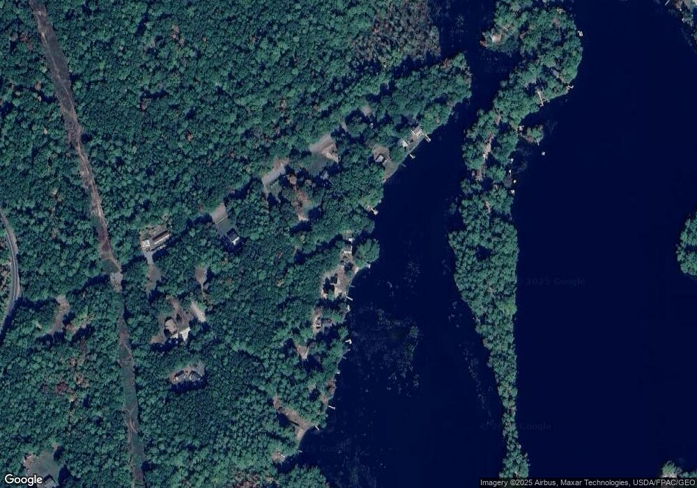
Map
Nearby Homes
- 99 Channel Ln
- Lot 8E Country Club Rd
- 41 Sunny Ln
- 122 Country Club 3 Rd
- Lot 55-A Ford Quint Rd
- TBD Ridge Terrace Unit Lot 7
- TBD Ridge Terrace Unit Lot 6
- Lot 1 Ridge Terrace
- 42 Bernice Ave
- 22 Lentago Ln
- Lot 4 Tbd Lentago Ln Unit Lot 4
- 247 Sam Allen Rd
- 45 Grace Ln
- 17 Airport Rd
- 469 High St
- 102 Country Club 1 Rd Unit 15A
- 102 Country Club 1 Rd Unit 11B
- 0 Airport Rd Unit 1634997
- 0 Airport Rd Unit 1624305
- Lot 3 Gatehouse Rd