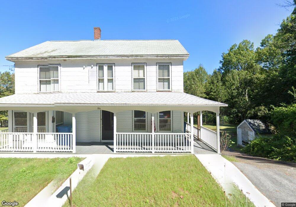
24 Wales Rd Monson, MA 01057
Estimated Value: $84,000 - $297,000
--
Bed
2
Baths
--
Sq Ft
11.61
Acres
About This Home
This home is located at 24 Wales Rd, Monson, MA 01057 and is currently estimated at $167,237. 24 Wales Rd is a home located in Hampden County with nearby schools including Quarry Hill Community School, Granite Valley School, and Monson High School.
Ownership History
Date
Name
Owned For
Owner Type
Purchase Details
Closed on
Aug 19, 2014
Sold by
Mill David E
Bought by
Allen Block Llc
Current Estimated Value
Purchase Details
Closed on
Jul 2, 2014
Sold by
Allen Block Llc
Bought by
Mill David E
Purchase Details
Closed on
May 14, 2010
Sold by
Visneau Theresa M
Bought by
Allen Block Llc
Purchase Details
Closed on
Sep 9, 1996
Sold by
Visneau William M and Visneau Dina M
Bought by
Visneau Theresa M
Home Financials for this Owner
Home Financials are based on the most recent Mortgage that was taken out on this home.
Original Mortgage
$45,000
Interest Rate
8.11%
Mortgage Type
Purchase Money Mortgage
Create a Home Valuation Report for This Property
The Home Valuation Report is an in-depth analysis detailing your home's value as well as a comparison with similar homes in the area
Home Values in the Area
Average Home Value in this Area
Purchase History
| Date | Buyer | Sale Price | Title Company |
|---|---|---|---|
| Allen Block Llc | -- | -- | |
| Mill David E | -- | -- | |
| Allen Block Llc | $61,500 | -- | |
| Visneau Theresa M | $50,000 | -- |
Source: Public Records
Mortgage History
| Date | Status | Borrower | Loan Amount |
|---|---|---|---|
| Previous Owner | Visneau Theresa M | $45,000 |
Source: Public Records
Tax History Compared to Growth
Tax History
| Year | Tax Paid | Tax Assessment Tax Assessment Total Assessment is a certain percentage of the fair market value that is determined by local assessors to be the total taxable value of land and additions on the property. | Land | Improvement |
|---|---|---|---|---|
| 2025 | $1,255 | $84,400 | $84,400 | $0 |
| 2024 | $1,308 | $84,400 | $84,400 | $0 |
| 2023 | $1,339 | $84,400 | $84,400 | $0 |
| 2022 | $1,505 | $84,400 | $84,400 | $0 |
| 2021 | $1,529 | $84,400 | $84,400 | $0 |
| 2020 | $1,542 | $84,400 | $84,400 | $0 |
| 2019 | $482 | $84,400 | $84,400 | $0 |
| 2018 | $1,616 | $91,800 | $91,800 | $0 |
| 2017 | $1,536 | $88,200 | $88,200 | $0 |
| 2016 | $1,512 | $88,300 | $88,300 | $0 |
| 2015 | $1,524 | $91,400 | $91,400 | $0 |
| 2014 | $938 | $57,900 | $57,400 | $500 |
Source: Public Records
Map
Nearby Homes
- 6 Bridge St
- 0 Mccray Cir
- 1 Heritage Ln
- 0 Paradise Lake Rd
- 4 Stewart Ave
- 199 Munn Rd
- 21 High St
- 23 High St
- 4 Spring St
- Lot B Brimfield Rd
- 0 Brimfield Rd
- 0 Moulton Hill Rd
- 26 Brimfield Rd
- 18 Palmer Rd Unit 15
- 18 Palmer Rd Unit 6
- 179 Bumstead Rd
- 124 Brimfield Rd
- 155 Brimfield Rd
- 56 Margaret St
- 101 Cote Rd