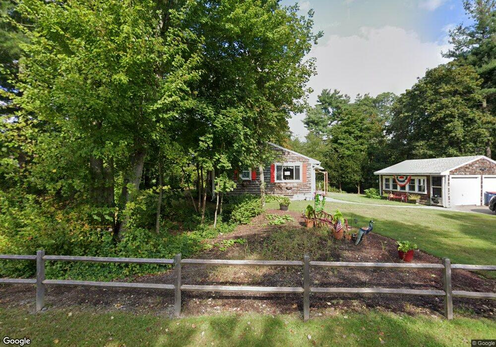
24 Walker St Seekonk, MA 02771
Estimated Value: $452,941 - $506,000
3
Beds
1
Bath
1,092
Sq Ft
$438/Sq Ft
Est. Value
About This Home
This home is located at 24 Walker St, Seekonk, MA 02771 and is currently estimated at $477,985, approximately $437 per square foot. 24 Walker St is a home located in Bristol County with nearby schools including Seekonk High School, St Margaret School, and The Wolf School.
Ownership History
Date
Name
Owned For
Owner Type
Purchase Details
Closed on
Jan 1, 1983
Bought by
Leffingwell Roger and Leffingwell Janice
Current Estimated Value
Create a Home Valuation Report for This Property
The Home Valuation Report is an in-depth analysis detailing your home's value as well as a comparison with similar homes in the area
Home Values in the Area
Average Home Value in this Area
Purchase History
| Date | Buyer | Sale Price | Title Company |
|---|---|---|---|
| Leffingwell Roger | -- | -- |
Source: Public Records
Mortgage History
| Date | Status | Borrower | Loan Amount |
|---|---|---|---|
| Open | Leffingwell Roger | $40,000 | |
| Closed | Leffingwell Roger | $25,001 | |
| Closed | Leffingwell Roger | $49,000 | |
| Closed | Leffingwell Roger | $52,000 |
Source: Public Records
Tax History Compared to Growth
Tax History
| Year | Tax Paid | Tax Assessment Tax Assessment Total Assessment is a certain percentage of the fair market value that is determined by local assessors to be the total taxable value of land and additions on the property. | Land | Improvement |
|---|---|---|---|---|
| 2025 | $4,589 | $371,600 | $175,300 | $196,300 |
| 2024 | $4,431 | $358,800 | $175,300 | $183,500 |
| 2023 | $4,292 | $327,400 | $157,400 | $170,000 |
| 2022 | $3,998 | $299,700 | $152,600 | $147,100 |
| 2021 | $3,701 | $272,700 | $128,800 | $143,900 |
| 2020 | $3,578 | $271,700 | $129,000 | $142,700 |
| 2019 | $3,483 | $266,700 | $129,000 | $137,700 |
| 2018 | $3,119 | $233,600 | $124,300 | $109,300 |
| 2017 | $3,089 | $229,500 | $124,300 | $105,200 |
| 2016 | $3,068 | $228,800 | $124,300 | $104,500 |
| 2015 | $3,010 | $227,500 | $124,300 | $103,200 |
Source: Public Records
Map
Nearby Homes
- 282 West Ave
- 243 West Ave
- 188 Newman Ave
- 50 Dexter Ave
- 181 Sherman Ave
- 224 Arcade Ave
- 60 West Dr
- 63 East Dr
- 15 East Dr
- 91 Seabiscuit Place
- 134 Naushon Rd
- 27 Gertrude Ave
- 245 Manton St
- 245 Manton St Unit 83
- 181 Hope St
- 24 Morra Way
- 242 Manton #41 St
- 0 Patterson St Unit 73348933
- 724 Beverage Hill Ave Unit 302
- 63 Whirlaway Place
- 32 Walker St
- 401 Newman Ave
- 0 Walker St
- 29 Walker St
- 2 Stone Ridge Dr
- 372 Newman Ave
- 5 Walker St
- 52 Walker St
- 415 Newman Ave
- 365 Newman Ave
- 0 Newman Ave
- 0 Newman Ave Unit 70957854
- 6 Magnolia Ct
- 5 Magnolia Ct
- 6 Stone Ridge Dr
- 1 Stone Ridge Dr
- 4 Stone Ridge Dr
- 11 Stone Ridge Dr
- 65 Walker St
- 429 Newman Ave