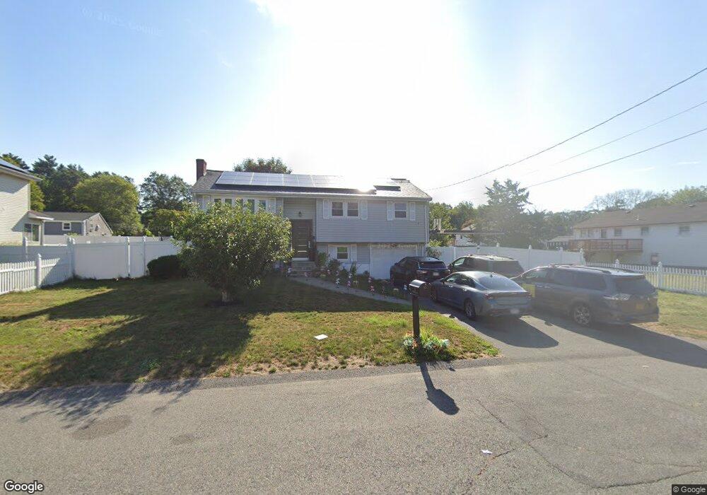
24 Westhaven Dr Brockton, MA 02301
Brockton Heights NeighborhoodEstimated Value: $537,000 - $644,000
2
Beds
1
Bath
1,026
Sq Ft
$580/Sq Ft
Est. Value
About This Home
This home is located at 24 Westhaven Dr, Brockton, MA 02301 and is currently estimated at $594,787, approximately $579 per square foot. 24 Westhaven Dr is a home located in Plymouth County with nearby schools including Hancock Elementary School, Manthala George Jr. School, and Louis F Angelo Elementary School.
Ownership History
Date
Name
Owned For
Owner Type
Purchase Details
Closed on
Mar 28, 2005
Sold by
Burke Pamela and Walsh Nancy
Bought by
Durandis Kenny
Current Estimated Value
Create a Home Valuation Report for This Property
The Home Valuation Report is an in-depth analysis detailing your home's value as well as a comparison with similar homes in the area
Home Values in the Area
Average Home Value in this Area
Purchase History
| Date | Buyer | Sale Price | Title Company |
|---|---|---|---|
| Durandis Kenny | $282,400 | -- |
Source: Public Records
Mortgage History
| Date | Status | Borrower | Loan Amount |
|---|---|---|---|
| Open | Durandis Kenny | $16,300 | |
| Open | Durandis Kenny | $254,000 | |
| Closed | Durandis Kenny | $220,300 |
Source: Public Records
Tax History
| Year | Tax Paid | Tax Assessment Tax Assessment Total Assessment is a certain percentage of the fair market value that is determined by local assessors to be the total taxable value of land and additions on the property. | Land | Improvement |
|---|---|---|---|---|
| 2025 | $6,140 | $507,000 | $145,000 | $362,000 |
| 2024 | $5,887 | $489,800 | $145,000 | $344,800 |
| 2023 | $6,055 | $466,500 | $110,000 | $356,500 |
| 2022 | $5,278 | $377,800 | $100,000 | $277,800 |
| 2021 | $5,239 | $361,300 | $95,000 | $266,300 |
| 2020 | $5,146 | $339,700 | $91,000 | $248,700 |
| 2019 | $5,277 | $339,600 | $85,500 | $254,100 |
| 2018 | $4,746 | $295,500 | $85,500 | $210,000 |
| 2017 | $0 | $289,600 | $85,500 | $204,100 |
| 2016 | $5,146 | $296,400 | $81,500 | $214,900 |
| 2015 | $4,931 | $271,700 | $81,500 | $190,200 |
| 2014 | $4,531 | $249,900 | $81,500 | $168,400 |
Source: Public Records
Map
Nearby Homes
- 42 Brown St
- 98 Union St
- 990 Pleasant St
- 102 Alandale Ave
- 95 Union St
- LOT 4 Winterberry Ln
- Lot 2 Winterberry Ln
- Lot 1 Winterberry Ln
- 110 Union St
- 86 Union St
- 96 Winterberry Ln
- 197 Candy Ln
- 44 Reservoir St Unit 52
- 23 Winterberry Ln
- 155 Rockland Dr
- 23 Arborway
- 0 Atkinson Ave
- 685 Oak St Unit 129
- 685 Oak St Unit 38
- 685 Oak St Unit 21
Your Personal Tour Guide
Ask me questions while you tour the home.