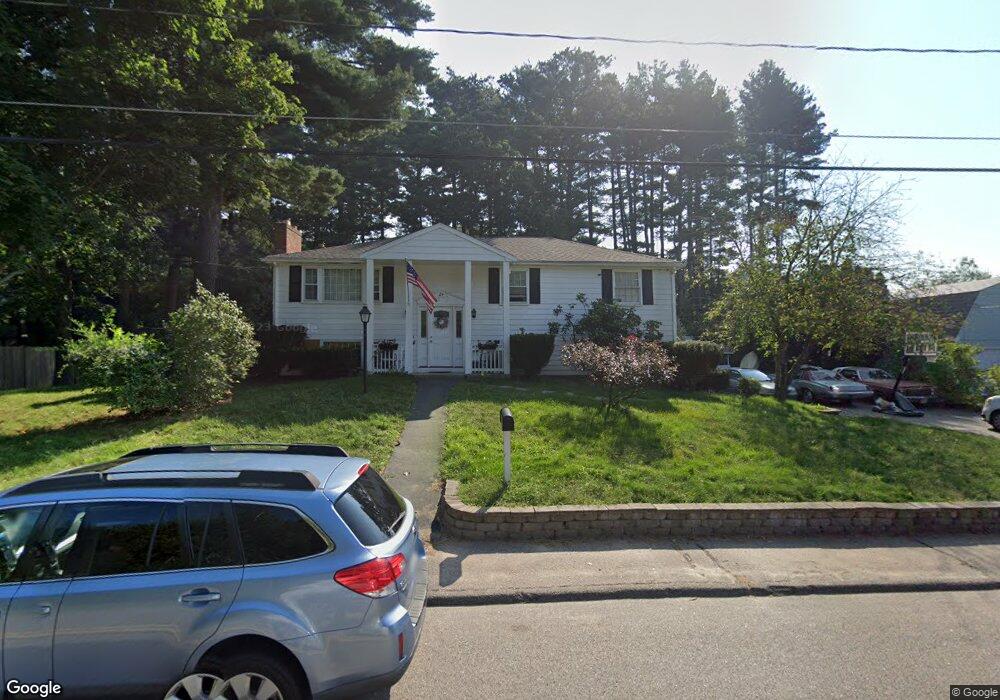
24 Wethersfield Rd Bellingham, MA 02019
Estimated Value: $530,586 - $606,000
4
Beds
2
Baths
1,800
Sq Ft
$314/Sq Ft
Est. Value
About This Home
This home is located at 24 Wethersfield Rd, Bellingham, MA 02019 and is currently estimated at $565,647, approximately $314 per square foot. 24 Wethersfield Rd is a home located in Norfolk County with nearby schools including Stall Brook Elementary School, Bellingham High School, and Bethany Christian Academy.
Ownership History
Date
Name
Owned For
Owner Type
Purchase Details
Closed on
Jun 19, 2024
Sold by
Parker Paul R
Bought by
Mccambridge Ft and Parker
Current Estimated Value
Purchase Details
Closed on
Mar 30, 2004
Sold by
Kaiser Leigh C and Kaiser Patricia A
Bought by
Parker Diane J and Parker Paul R
Home Financials for this Owner
Home Financials are based on the most recent Mortgage that was taken out on this home.
Original Mortgage
$272,250
Interest Rate
5.65%
Mortgage Type
Purchase Money Mortgage
Purchase Details
Closed on
Aug 26, 1988
Sold by
Rice Mary L
Bought by
Kaiser Leigh C
Create a Home Valuation Report for This Property
The Home Valuation Report is an in-depth analysis detailing your home's value as well as a comparison with similar homes in the area
Home Values in the Area
Average Home Value in this Area
Purchase History
| Date | Buyer | Sale Price | Title Company |
|---|---|---|---|
| Mccambridge Ft | -- | None Available | |
| Mccambridge Ft | -- | None Available | |
| Parker Diane J | $286,630 | -- | |
| Parker Diane J | $286,630 | -- | |
| Kaiser Leigh C | $149,000 | -- |
Source: Public Records
Mortgage History
| Date | Status | Borrower | Loan Amount |
|---|---|---|---|
| Previous Owner | Parker Diane J | $272,250 | |
| Previous Owner | Kaiser Leigh C | $25,500 | |
| Previous Owner | Kaiser Leigh C | $120,000 |
Source: Public Records
Tax History
| Year | Tax Paid | Tax Assessment Tax Assessment Total Assessment is a certain percentage of the fair market value that is determined by local assessors to be the total taxable value of land and additions on the property. | Land | Improvement |
|---|---|---|---|---|
| 2025 | $5,106 | $406,500 | $167,900 | $238,600 |
| 2024 | $4,889 | $380,200 | $153,300 | $226,900 |
| 2023 | $4,714 | $361,200 | $146,000 | $215,200 |
| 2022 | $4,579 | $325,200 | $121,700 | $203,500 |
| 2021 | $4,461 | $309,600 | $121,700 | $187,900 |
| 2020 | $4,260 | $299,600 | $121,700 | $177,900 |
| 2019 | $4,172 | $293,600 | $121,700 | $171,900 |
| 2018 | $3,837 | $266,300 | $117,100 | $149,200 |
| 2017 | $3,733 | $260,300 | $117,100 | $143,200 |
| 2016 | $3,571 | $249,900 | $115,100 | $134,800 |
| 2015 | $3,426 | $240,400 | $110,700 | $129,700 |
| 2014 | $3,433 | $234,200 | $108,100 | $126,100 |
Source: Public Records
Map
Nearby Homes
- 67 Jeannine Rd
- 60 Wethersfield Rd
- 0 Hixon St Unit 73477486
- 48 Donna Rd
- 0 Hartford Ave
- 370 S Main St
- 267 R S Main St
- 267 F S Main St
- 279 S Main St
- 123-125 Mendon St
- 48 Black Bear Cir Unit 48
- 46 Black Bear Cir Unit 46
- 23 Bellwood Cir Unit 23
- 3 Black Bear Cir Unit 3
- 43 Black Bear Cir Unit 43
- 7 Black Bear Unit 7
- 8 Black Bear Cir Unit 8
- 9 Black Bear Cir Unit 9
- 10 Black Bear Unit 10
- 11 Black Bear Unit 11
Your Personal Tour Guide
Ask me questions while you tour the home.