24 Wheelock Rd Shrewsbury, MA 01545
Estimated Value: $1,008,000 - $1,183,000
4
Beds
4
Baths
3,622
Sq Ft
$303/Sq Ft
Est. Value
About This Home
This home is located at 24 Wheelock Rd, Shrewsbury, MA 01545 and is currently estimated at $1,096,640, approximately $302 per square foot. 24 Wheelock Rd is a home located in Worcester County with nearby schools including Walter J. Paton Elementary School, Sherwood Middle School, and Oak Middle School.
Ownership History
Date
Name
Owned For
Owner Type
Purchase Details
Closed on
May 20, 2022
Sold by
E P Tonelli T 2015
Bought by
Jill M Tonelli T
Current Estimated Value
Purchase Details
Closed on
Jan 22, 2016
Sold by
Tonelli Edward P and Tonelli Judith M
Bought by
Edward P Tonelli T and Tonelli-Chapin Jodie
Purchase Details
Closed on
Dec 27, 2012
Sold by
Edward P Tonelli T and Tonelli Edward P
Bought by
Tonelli Edward P and Tonelli Judith M
Purchase Details
Closed on
Dec 30, 2004
Sold by
Tonelli Dorothy K and Tonelli Edward P
Bought by
Dorothy K Tonelli T and Tonelli Dorothy K
Purchase Details
Closed on
Mar 1, 1979
Bought by
Edward P Tonelli T and Tonelli-Chapin, Jodie
Create a Home Valuation Report for This Property
The Home Valuation Report is an in-depth analysis detailing your home's value as well as a comparison with similar homes in the area
Home Values in the Area
Average Home Value in this Area
Purchase History
| Date | Buyer | Sale Price | Title Company |
|---|---|---|---|
| Jill M Tonelli T | -- | None Available | |
| Edward P Tonelli T | -- | -- | |
| Tonelli Edward P | -- | -- | |
| Dorothy K Tonelli T | -- | -- | |
| Edward P Tonelli T | -- | -- |
Source: Public Records
Tax History Compared to Growth
Tax History
| Year | Tax Paid | Tax Assessment Tax Assessment Total Assessment is a certain percentage of the fair market value that is determined by local assessors to be the total taxable value of land and additions on the property. | Land | Improvement |
|---|---|---|---|---|
| 2025 | $11,393 | $946,300 | $436,800 | $509,500 |
| 2024 | $11,716 | $946,400 | $422,600 | $523,800 |
| 2023 | $12,602 | $960,500 | $422,600 | $537,900 |
| 2022 | $12,734 | $902,500 | $422,600 | $479,900 |
| 2021 | $10,503 | $796,300 | $365,800 | $430,500 |
| 2020 | $9,692 | $777,200 | $365,800 | $411,400 |
| 2019 | $9,661 | $768,600 | $357,900 | $410,700 |
| 2018 | $10,120 | $799,400 | $345,300 | $454,100 |
| 2017 | $10,061 | $784,200 | $330,100 | $454,100 |
| 2016 | $9,833 | $756,400 | $312,600 | $443,800 |
| 2015 | $9,216 | $698,200 | $311,100 | $387,100 |
Source: Public Records
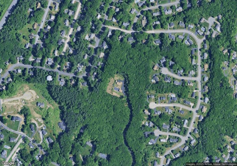
Map
Nearby Homes
- 20 Browning Rd
- 251 Boylston St Unit 253
- 3 Merriam Ave
- 2 Burkhardt Cir Unit 5
- 2 Applewood Cir
- 313 Gulf St
- 20 Rawson Hill Dr
- 22 Ridge Rd
- 11 Adin Dr
- 17 Wilder Rd
- 28 Sewall St
- 345 Sewall St
- 7 Holman Heights Cir
- 515 Main St
- 34 Gates Rd
- 11 Cranbrook Rd
- 2 Morgan Cir Unit 16
- 19 Grafton St
- 647 Main St
- 291 Sewall St Unit 291
- 27 Browning Rd
- 25 Browning Rd
- 23 Browning Rd
- 29 Browning Rd
- 8 Hearthside Cir
- 7 Old Salem Cir
- 21 Browning Rd
- 9 Old Salem Cir
- 7 Hearthside Cir
- 28 Browning Rd
- 24 Browning Rd
- 6 Wachusett Cir
- 4 Wachusett Cir
- 31 Browning Rd
- 6 Hearthside Cir
- 22 Browning Rd
- 19 Browning Rd
- 5 Old Salem Cir
- 8 Old Salem Cir
- 8 Wachusett Cir