24 Whitehall Landing Unit 24 Mystic, CT 06355
Old Mystic NeighborhoodEstimated Value: $520,000 - $703,000
3
Beds
3
Baths
1,833
Sq Ft
$355/Sq Ft
Est. Value
About This Home
This home is located at 24 Whitehall Landing Unit 24, Mystic, CT 06355 and is currently estimated at $651,518, approximately $355 per square foot. 24 Whitehall Landing Unit 24 is a home located in New London County with nearby schools including Stonington Middle School and Stonington High School.
Ownership History
Date
Name
Owned For
Owner Type
Purchase Details
Closed on
Feb 3, 2015
Sold by
Starwalt James R and Starwalt Marianne E
Bought by
Talbot Kenneth M and Talbot Catherine A
Current Estimated Value
Home Financials for this Owner
Home Financials are based on the most recent Mortgage that was taken out on this home.
Original Mortgage
$341,000
Outstanding Balance
$253,659
Interest Rate
3%
Mortgage Type
Adjustable Rate Mortgage/ARM
Estimated Equity
$397,859
Purchase Details
Closed on
Jul 31, 2007
Sold by
Denison 3Rd Oliver and Denison Nancy C
Bought by
Starwart James R and Starwart Marianne E
Home Financials for this Owner
Home Financials are based on the most recent Mortgage that was taken out on this home.
Original Mortgage
$328,000
Interest Rate
6.78%
Purchase Details
Closed on
Jun 30, 2004
Sold by
Est Maclean Mary and Burnside Stacey
Bought by
Denison 3Rd Oliver and Denison Nancy
Create a Home Valuation Report for This Property
The Home Valuation Report is an in-depth analysis detailing your home's value as well as a comparison with similar homes in the area
Home Values in the Area
Average Home Value in this Area
Purchase History
| Date | Buyer | Sale Price | Title Company |
|---|---|---|---|
| Talbot Kenneth M | $455,000 | -- | |
| Talbot Kenneth M | $455,000 | -- | |
| Starwart James R | $440,000 | -- | |
| Starwart James R | $440,000 | -- | |
| Denison 3Rd Oliver | $342,000 | -- | |
| Denison 3Rd Oliver | $342,000 | -- |
Source: Public Records
Mortgage History
| Date | Status | Borrower | Loan Amount |
|---|---|---|---|
| Open | Talbot Kenneth M | $341,000 | |
| Closed | Talbot Kenneth M | $341,000 | |
| Previous Owner | Denison 3Rd Oliver | $285,000 | |
| Previous Owner | Denison 3Rd Oliver | $328,000 |
Source: Public Records
Tax History Compared to Growth
Tax History
| Year | Tax Paid | Tax Assessment Tax Assessment Total Assessment is a certain percentage of the fair market value that is determined by local assessors to be the total taxable value of land and additions on the property. | Land | Improvement |
|---|---|---|---|---|
| 2025 | $7,383 | $357,000 | $0 | $357,000 |
| 2024 | $7,122 | $357,000 | $0 | $357,000 |
| 2023 | $7,086 | $357,000 | $0 | $357,000 |
| 2022 | $6,052 | $229,600 | $0 | $229,600 |
| 2021 | $6,142 | $229,600 | $0 | $229,600 |
| 2020 | $6,029 | $229,600 | $0 | $229,600 |
| 2019 | $6,029 | $229,600 | $0 | $229,600 |
| 2018 | $5,873 | $229,600 | $0 | $229,600 |
| 2017 | $6,400 | $246,800 | $0 | $246,800 |
| 2016 | $6,234 | $246,800 | $0 | $246,800 |
| 2015 | $5,977 | $246,800 | $0 | $246,800 |
| 2014 | $5,733 | $246,800 | $0 | $246,800 |
Source: Public Records
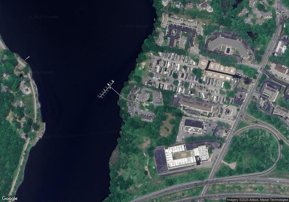
Map
Nearby Homes
- 86 Fair Acres Cir
- 40 Riverbend Dr
- 1198 River Rd
- 26 Whitehall Pond Unit 26
- 50 Benjamin Stanton Pkwy
- 4 Bindloss Rd
- 5 Pleasant St
- 1335 Pequot Trail
- 10 Pleasant St
- 1346 Pequot Trail
- 27 Bolles Ln
- 14 Cutter Dr
- 21 Raul Ct
- 38 Rossie St
- 215 Pequotsepos Rd
- 435 High St Unit 26
- 435 High St Unit 31
- 435 High St Unit 30
- 13 Park Ave
- 23 Fenwick Ct
- 24 Whitehall Landing
- 22 Whitehall Landing
- 21 Whitehall Landing
- 16 Whitehall Landing
- 16 Whitehall Landing Unit 16
- 18 Whitehall Landing
- 18 Whitehall Landing Unit 18
- 15 Whitehall Landing
- 15 Whitehall Landing Unit 15
- 19 Whitehall Landing
- 17 Whitehall Landing
- 23 Whitehall Landing
- 19 Whitehall Landing Unit 19
- 17 Whitehall Landing Unit 17
- 20 Whitehall Landing
- 1 Whitehall Landing
- 4 Whitehall Landing
- 3 Whitehall Landing
- 2 Whitehall Landing
- 4 Whitehall Landing